Ashland in Jackson County, Oregon — The American West (Northwest)
Dead Indian Memorial Road
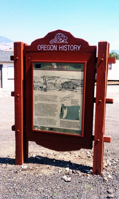
Long before the first Euro-American emigrants trekked westward, this road was a trail used by the Takelma and Shasta Peoples as a trade route. With the arrival of settlers and gold-seekers, the trail quickly became a wagon road called ‘Indian Market Road.’
During the 1850s, the increased population of Euro-Americans, their occupation of traditional food gathering areas, and often hostile behavior, caused the most serious ‘Indian Wars’ in U.S. history. In 1854, the bodies of several dead, possibly murdered, Native Americans were discovered along this road in a narrow prairie several miles northeast of this marker. For many years thereafter this portion of Oregon was known as the ‘Dead Indian Country,’ and until recently, this road was officially called ‘Dead Indian Road.’
Recognizing the negative connotations associated with the name ‘Dead Indian Road,’ and acknowledging that many Native Americans lost their lives in this valley as a consequence of westward expansion, the name was changed to ‘Dead Indian Memorial Road’ in 1993.
Erected by Oregon Travel Experience and Confederated Tribe Of Siletz Indians Of Oregon.
Topics and series. This historical marker is listed in these topic lists: Native Americans • Wars, US Indian . In addition, it is included in the Oregon Beaver Boards series list. A significant historical year for this entry is 1854.
Location. Marker has been permanently removed. It was located near 42° 10.969′ N, 122° 39.332′ W. Marker was in Ashland, Oregon, in Jackson County. Marker was at the intersection of Dead Indian Memorial Rd and Green Springs Highway (U.S. 66) on Dead Indian Memorial Rd. Touch for map. Marker was in this post office area: Ashland OR 97520, United States of America.
We have been informed that this sign or monument is no longer there and will not be replaced. This page is an archival view of what was.
Other nearby markers. At least 8 other markers are within 3 miles of this location, measured as the crow flies. Applegate Trail - A Pretty Location (approx. 1.7 miles away); Route of Historical Applegate Trail (approx. 2˝ miles away); Ashland, OR (approx. 2.6 miles away); Ashland Cemetery War Memorial (approx. 2.6 miles away); The Applegate Trail (approx. 2.6 miles away); Ashland’s Golden Spike (approx. 2.8 miles away); Enders Building No. 1, 1914 (approx. 3 miles away); Citizens Banking and Trust Company (approx. 3 miles away). Touch for a list and map of all markers in Ashland.
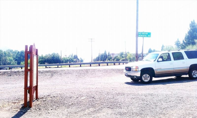
More about this marker. To find this sign, take exit 14 off Interstate 5 and then 1/2 mile south on Hwy 66. The sign is in a gravel setting at the intersection of Highway 66 and Dead Indian Memorial Road.
Regarding Dead Indian Memorial Road. This Oregon 'Beaver Board' historical marker was permanently removed in 2017 by the City of Ashland as part of local and worldwide political correctness movements. This marker was also removed from the Oregon Travel Information Council's online map of official Oregon historical markers.

Photographed By Douglass Halvorsen, March 28, 2024
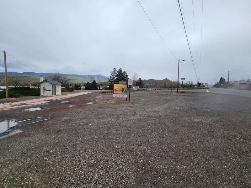
3. Dead Indian Memorial Road Marker Removed
The former Oregon 'Beaver Board' historical marker was removed by the City of Ashland in 2017 as part of local and worldwide political correctness movements. An initiative that year to rename Dead Indian Memorial Road to some other name failed to garner enough votes by local county commissioners, and so the highway name remains the same.
Credits. This page was last revised on April 2, 2024. It was originally submitted on January 11, 2018, by Douglass Halvorsen of Klamath Falls, Oregon. This page has been viewed 603 times since then and 83 times this year. Last updated on April 1, 2024, by Douglass Halvorsen of Klamath Falls, Oregon. Photos: 1, 2. submitted on January 11, 2018, by Douglass Halvorsen of Klamath Falls, Oregon. 3. submitted on April 1, 2024, by Douglass Halvorsen of Klamath Falls, Oregon. • Devry Becker Jones was the editor who published this page.
Editor’s want-list for this marker. Check for the continued existence or removal of this marker. • • Can you help?

