Mount Pleasant in Northwest Washington in Washington, District of Columbia — The American Northeast (Mid-Atlantic)
Harvest at Pleasant Plains
ca. 1750

Photographed By Devry Becker Jones (CC0), January 13, 2018
1. Harvest at Pleasant Plains, ca. 1750 Marker
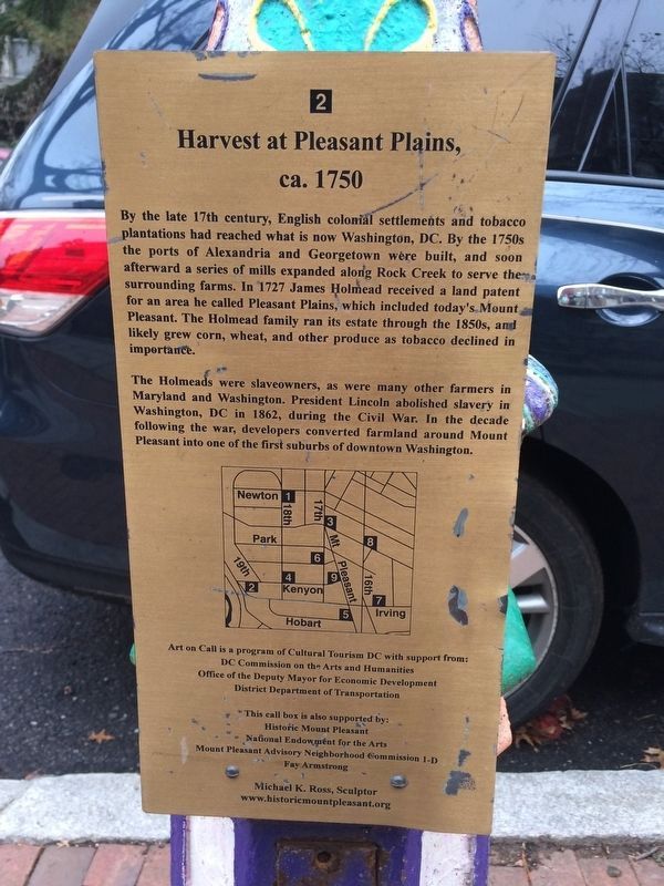
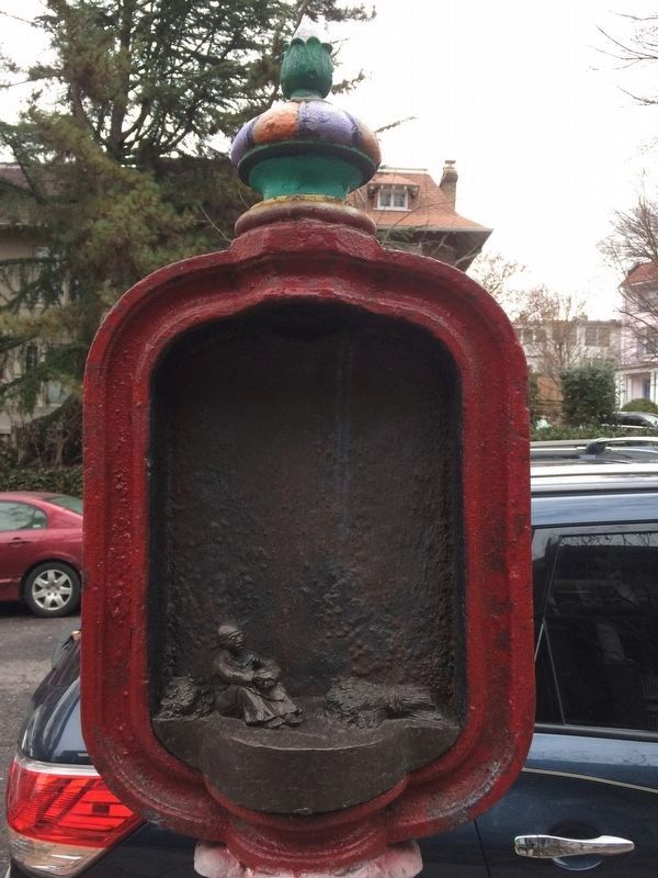
By the late 17th century, English colonial settlements and tobacco plantations had reached what is now Washington, DC. By the 1750s the ports of Alexandria and Georgetown were built, and soon afterward a series of mills expanded along Rock Creek to serve the surrounding farms. In 1727 James Holmead received a land patent for an area he called Pleasant Plains, which included today's Mount Pleasant. The Holmead family ran its estate through the 1850s, and likely grew corn, wheat, and other produce as tobacco declined in importance.
The Holmeads were slaveowners, as were many other farmers in Maryland and Washington. President Lincoln abolished slavery in Washington, DC in 1862, during the Civil War. In the decade following the war, developers converted farmland around Mount Pleasant into one of the first suburbs of downtown Washington.
Erected by Cultural Tourism DC. (Marker Number 2.)
Topics and series. This historical marker is listed in these topic lists: Agriculture • Colonial Era • War, US Civil • Waterways & Vessels. In addition, it is included in the DC, Art on Call, and the Former U.S. Presidents: #16 Abraham Lincoln series lists. A significant historical year for this entry is 1727.
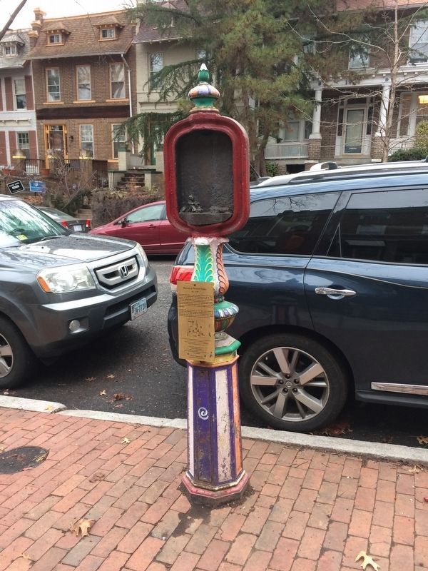
Location. 38° 55.78′ N, 77° 2.581′ W. Marker is in Northwest Washington in Washington, District of Columbia. It is in Mount Pleasant. Marker is on Kenyon Street Northwest west of 19th Street Northwest. Touch for map. Marker is at or near this postal address: 1842 Kenyon Street Northwest, Washington DC 20010, United States of America. Touch for directions.
Other nearby markers. At least 8 other markers are within walking distance of this marker. A Village Comes to Life: Mount Pleasant after the Civil War (about 500 feet away, measured in a direct line); Defying the Restrictive Covenants (approx. 0.2 miles away); Scientists on the "Hunt" (approx. 0.2 miles away); Forests Without Food? (approx. 0.2 miles away); Changing Fashions (approx. 0.2 miles away); The Gathering (approx. 0.2 miles away); Art in the Park (approx. 0.2 miles away); It's Our 125th Birthday! (approx. 0.2 miles away). Touch for a list and map of all markers in Northwest Washington.

Photographed By Devry Becker Jones (CC0), January 13, 2018
2. Harvest at Pleasant Plains, ca. 1750 Marker

Photographed By Devry Becker Jones (CC0), January 13, 2018
3. Harvest at Pleasant Plains, ca. 1750 Marker
Credits. This page was last revised on January 30, 2023. It was originally submitted on January 13, 2018, by Devry Becker Jones of Washington, District of Columbia. This page has been viewed 206 times since then and 17 times this year. Photos: 1, 2, 3. submitted on January 13, 2018, by Devry Becker Jones of Washington, District of Columbia. • Bill Pfingsten was the editor who published this page.