Here's The Catch
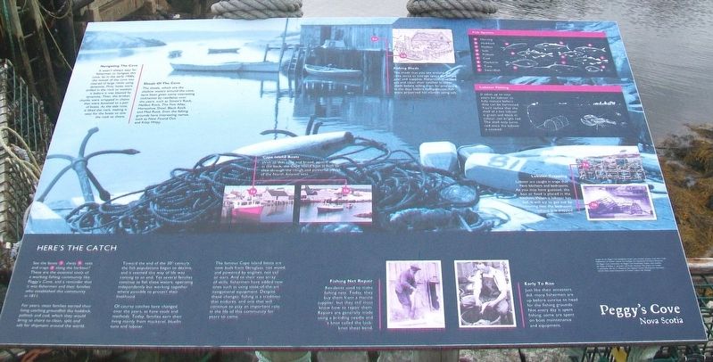
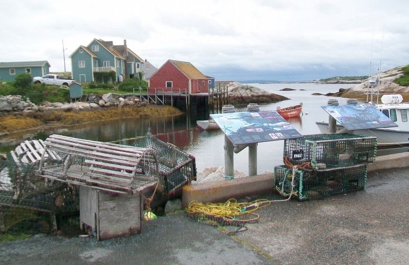
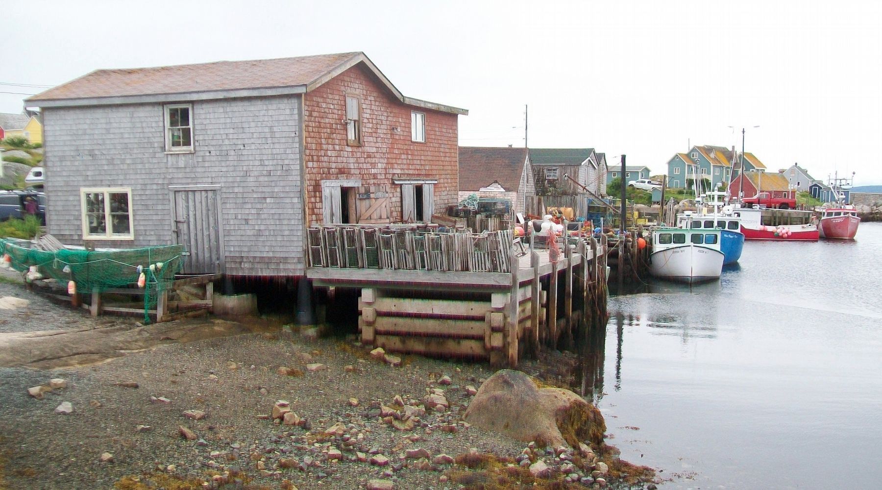
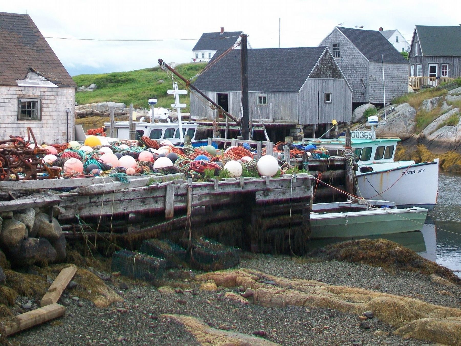
See the boats [1], sheds [2], nets and traps [3] along the harbour? These are the essential tools of a working fishing community like Peggy's Cove, and a reminder that it was fishermen and their families who established this community in 1811.
For years, most families earned their living catching groundfish like haddock, pollock and cod, which they would bring to shore to clean, split and salt for shipment around the world.
Toward the end of the 20th century, the fish population began to decline, and it seemed this way of life was coming to an end. Yet several families continue to fish these waters, operating independently but working together where possible to protect the livelihood.
Of course catches have changed over the years, as have tools and methods. Today, families earn their living mainly from mackerel, bluefin tuna and lobster.
Navigating The Cove
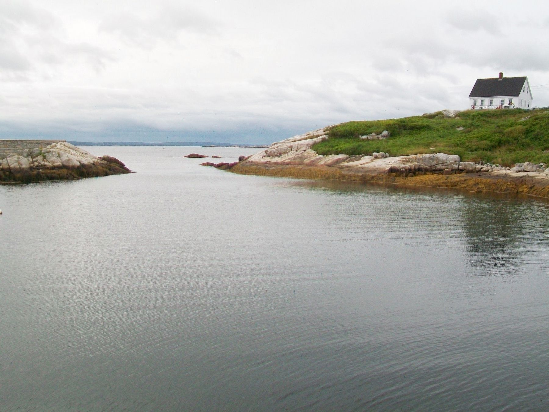
It wasn't always easy for fishermen to navigate this cove. So in the early 1900s, the mouth of the cove was cleared of large rocks using dynamite. First, holes were drilled in the rocks to weaken it before it was blasted by dynamite. Then, the broken chunks were wrapped in chains that were fastened to a pair of boats. As the tide rose, it lifted the rock, making it easy for the boats to tow the rock to shore.
Shoals
Of The Cove
The shoals, which are the shallow waters around the cove, have been given some interesting nicknames by residents over the years, such as Simon's Rock, Halibut Rock, The Five Alley, Horseshoe Shoal, Black Rock and Mad Rock. Even the fishing grounds have interesting names, such as New Found Out and Kitty Witty.
[1a] [1b] Cape Island Boats
With its thin nose and broad, square stern at the back, the Cape Island boat is built to slice through the rough and powerful waves of the North Atlantic seas.
[2a] [2b] Fishing Sheds
The sheds that you see around the cove serve as storage space for fishing gear and supplies. Fishermen also land, gut and clean their catches in these sheds before selling them for processing. In the days before refrigeration, fish were preserved for market using salt.
Fish Species
[a] Herring [b] Haddock [c] Halibut [d] Sole [e] Pollock [f] Cod [g] Mackerel [h] Tuna [i] Swordfish
Lobster Fishing
It takes up to nine years for lobster to fully mature before they can be harvested. You'll notice that the shell of a live lobster is green and black in colour, not bright red. The shell only turns red once the lobster is cooked.
[3a] [3b] Lobster Trapping
Lobsters are caught in traps that have kitchens and bedrooms.
Early To Rise
Just like their ancestors did, many fishermen are up before sunrise to head for the fishing grounds. Not every day is spent fishing; some are spent on boat maintenance and equipment.
Topics. This historical marker is listed in these topic lists: Environment • Settlements & Settlers • Waterways & Vessels. A significant historical year for this entry is 1811.
Location. 44° 29.595′ N, 63° 54.992′ W. Marker is in Peggy's Cove, Nova Scotia, in Halifax Region. Marker is on Peggy's Point Road, 0.7 kilometers south of Prospect Road (Nova Scotia Route 333), on the right when traveling west. Touch for map. Marker is at or near this postal address: Government Wharf, Peggy's Cove NS B3Z 3S1, Canada. Touch for directions.
Other nearby markers. At least 8 other markers are within walking distance of this marker. Through Rain, Sleet and Darkest Night (about 150 meters away, measured in a direct line); Peggy's Cove (about 150 meters away); A Natural Masterpiece (about 180 meters away); The Art of deGarthe (about 180 meters away); A Monumental Work Of Art (about 180 meters away); Fishermen's Monument (about 210 meters away); The Lure of Peggy's Cove (about 240 meters away); Home Sweet Home (about 240 meters away). Touch for a list and map of all markers in Peggy's Cove.
Also see . . .
1. "Observations on the fishing grounds and fish of St. Margaret's Bay, N.S.". Dalhousie University website entry:
by J. Ambrose (1867) "Proceedings and Transactions of the Nova Scotian Institute of Natural Science", 2(1), 67-76. (Submitted on January 14, 2018, by William Fischer, Jr. of Scranton, Pennsylvania.)
2. Lobstering In St Margaret's Bay NS. YouTube video (Submitted on January 14, 2018, by William Fischer, Jr. of Scranton, Pennsylvania.)
3. Peggy's Cove Area. Peggy's Cove Coastal Region website entry (Submitted on January 14, 2018, by William Fischer, Jr. of Scranton, Pennsylvania.)
Credits. This page was last revised on April 6, 2021. It was originally submitted on January 13, 2018, by William Fischer, Jr. of Scranton, Pennsylvania. This page has been viewed 362 times since then and 32 times this year. Photos: 1, 2, 3, 4, 5. submitted on January 14, 2018, by William Fischer, Jr. of Scranton, Pennsylvania.
