Cahaba in Dallas County, Alabama — The American South (East South Central)
Cahawba's Changing Landscape
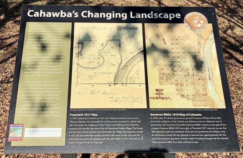
Today Cahawba is a ghost town, an important archaeological site, and a place of picturesque ruins. Ironically in 1818, Cahawba's landscape was also full of ruins—the remains of a village constructed by prehistoric mound builders who abandoned the site in the 16th century.
As you look east down Capitol Street toward the Alabama River, You're looking directly at the site where an immense earthen mound, centerpiece of the mound-builder village, once stood—the same site Governor Bibb envisioned for Cahawba's statehouse. In 1858 Cahawba residents used the soil of this prehistoric mound to build an embankment for their new railroad.
Freeman's 1817 Map
In 1817, settlers were anxious to move into Alabama's frontier, and surveyor Thomas Freeman was responsible for creating maps necessary for orderly land sales. Just below the confluence of the Cahaba and Alabama rivers, Freeman observed and recorded the ruins of an old abandoned Indian village. The houses and the semi-circular palisade that surrounded the village had long since turned to dust, but the ceremonial earthen mound in the center of the town and the moat that surrounded the palisade wall were still visible in 1817 (recorded as an "Ancient Indian Work' on this map).
Governor Bibb's 1818 Map of Cahawba
In 1818, when the federal government granted Governor Willam Wyatt Bibb land at the confluence of the Cahaba and Alabama rivers for Alabama's seat of government, the Territorial Assembly authorized Bibb to layout a town plan. If you compare Governor Bibb's 1818 town, plat, to Freeman's 1817 map, you can see that Bibb planned to give the statehouse of his new city prominence by sitting it atop the old Indian mound, He also planed to surround the capitol grounds with the moat that had been dug three centuries earlier. Funding shortages and his untimely death prevented Bibb from fully realizing his plan.
Erected 2013 by the Alabama Black Belt Nature & Heritage Trail.
Topics. This historical marker is listed in these topic lists: Native Americans • Settlements & Settlers. A significant historical year for this entry is 1818.
Location. 32° 19.183′ N, 87° 6.268′ W. Marker is in Cahaba, Alabama, in Dallas County. Marker is at the intersection of Capitol Street
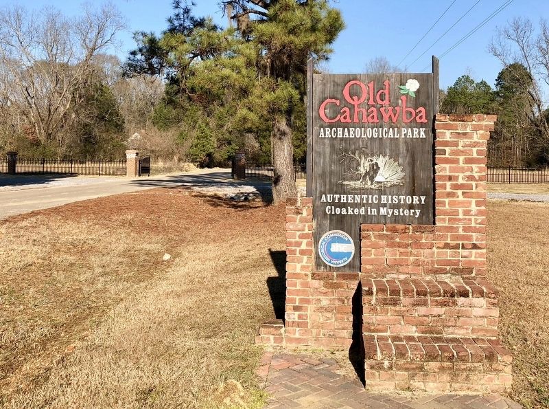
and Cahaba Road, on the right when traveling east on Capitol Street. Located at the Old Cahawba Archaeological Park visitor center parking lot. Touch for map. Marker is in this post office area: Orrville AL 36767, United States of America. Touch for directions.
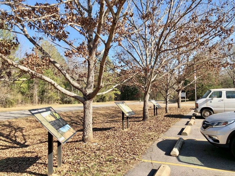
Other nearby markers. At least 8 other markers are within walking distance of this marker. Black Belt Transformations (here, next to this marker); Cahawba’s Current Residents (a few steps from this marker); Who Lived Here? (approx. ¼ mile away); Anna Gayle Fry House (approx. 0.3 miles away); Methodist Church (approx. 0.4 miles away); Old Cemetery (approx. 0.4 miles away); Memorials for Prisoners of War (approx. 0.4 miles away); Lafayette's Tour (approx. 0.4 miles away). Touch for a list and map of all markers in Cahaba.
Credits. This page was last revised on April 21, 2024. It was originally submitted on January 14, 2018, by Mark Hilton of Montgomery, Alabama. This page has been viewed 323 times since then and 40 times this year. Photos: 1, 2, 3. submitted on January 14, 2018, by Mark Hilton of Montgomery, Alabama.


