Merrill in Klamath County, Oregon — The American West (Northwest)
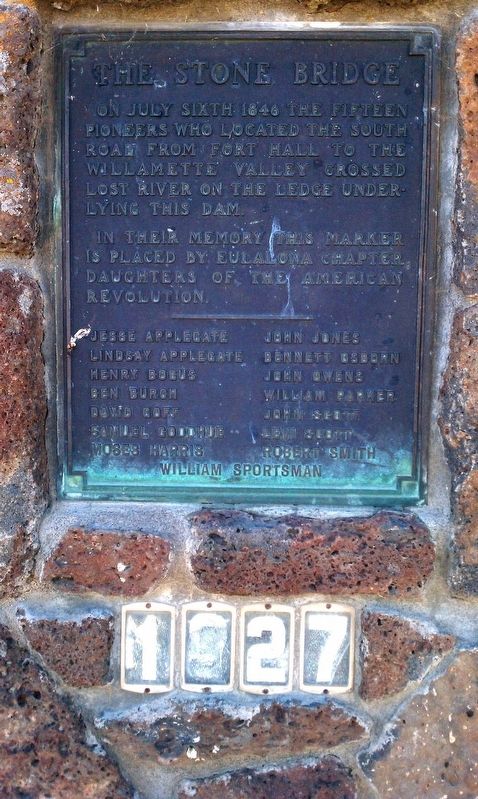
The Stone Bridge
On July Sixth 1846 fifteen pioneers who located the South Road from Fort Hale to the Willamette Valley crossed Lost River on the ledge underlying this dam.
In their memory this marker is placed by Eulalona Chapter Daughters of the American Revolution.
Erected 1927 by Eulalona Chapter, Daughters of the American Revolution (DAR).
Topics and series. This historical marker is listed in this topic list: Exploration. In addition, it is included in the Applegate Trail, and the Daughters of the American Revolution series lists. A significant historical year for this entry is 1846.
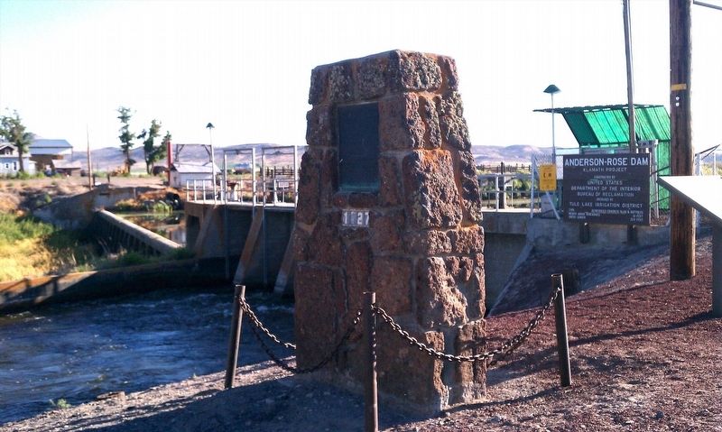
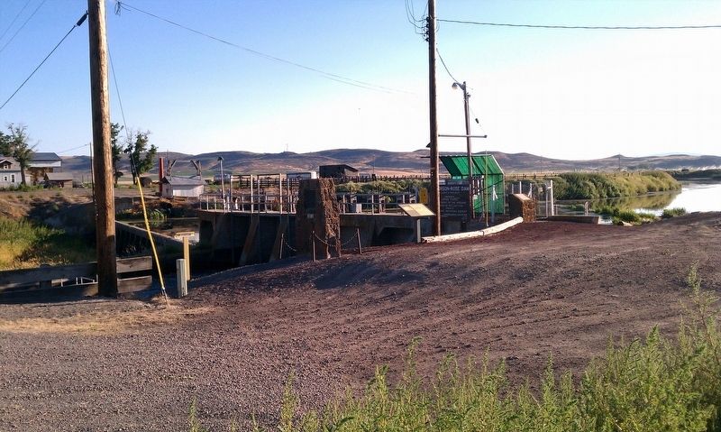
Location. 42° 0.641′ N, 121° 33.673′ W. Marker is in Merrill, Oregon, in Klamath County. Marker is on Malone Rd, on the right when traveling south. Touch for map. Marker is in this post office area: Merrill OR 97633, United States of America. Touch for directions.
Other nearby markers. At least 8 other markers are within 6 miles of this marker, measured as the crow flies. The Applegate Trail (here, next to this marker); a different marker also named Stone Bridge (here, next to this marker); Dennis Crawley Cabin (approx. 1.1 miles away); The Ranch of J. Frank Adams (approx. 1.2 miles away); Applegate Trail - Clammett Lake (approx. 2.2 miles away in California); Camp Tulelake (approx. 2.9 miles away in California); White Lake City (approx. 4.3 miles away); Tulelake World War II War Memorial (approx. 5.7 miles away in California). Touch for a list and map of all markers in Merrill.
Credits. This page was last revised on March 3, 2024. It was originally submitted on January 15, 2018, by Douglass Halvorsen of Klamath Falls, Oregon. This page has been viewed 245 times since then and 30 times this year. Last updated on February 26, 2024, by Carolyn Sanders of Plano, Texas. Photos: 1, 2, 3. submitted on January 15, 2018, by Douglass Halvorsen of Klamath Falls, Oregon. • Devry Becker Jones was the editor who published this page.


