Gold Hill in Jackson County, Oregon — The American West (Northwest)
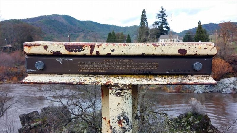
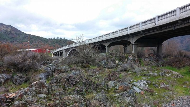
Rock Point Bridge
Erected by Southern Oregon Historical Society.
Topics. This historical marker is listed in this topic list: Bridges & Viaducts. A significant historical year for this entry is 1859.
Location. 42° 25.926′ N, 123° 5.441′ W. Marker is in Gold Hill, Oregon, in Jackson County. Marker is on Lampman Rd. Touch for map. Marker is in this post office area: Gold Hill OR 97525, United States of America. Touch for directions.
Other nearby markers. At least 8 other markers are within 3 miles of this marker, measured as the crow flies. Rock Point Hotel (about 500 feet away, measured in a direct line); Rock Point, Oregon (about 500 feet away); Safety Follows Wisdom (approx. 0.4 miles away); City of Gold Hill (approx. 2.1 miles away); Valley of the Rogue Applegate Trail Kiosk (approx. 2.4 miles away); Dardanelles (approx. 2˝ miles away); The Salmon Ceremony at Ti'lomikh Falls (approx. 2˝ miles away); a different marker also named The Salmon Ceremony at Ti'lomikh Falls (approx. 2.6 miles away). Touch for a list and map of all markers in Gold Hill.
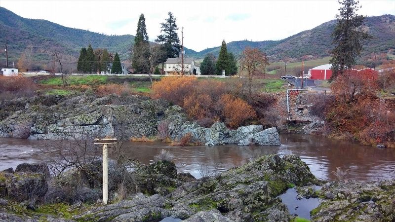
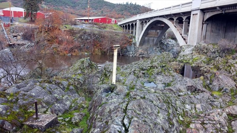
More about this marker. Marker is located in bedrock near Rogue River. Although not listed on the marker, it is one of many 'T' markers placed by the Southern Oregon Historical Society throughout Jackson County.
Also see . . . Jackson County Historical Markers placed by SOHS. This marker is one of a number of historical 'T' markers monumented in the 1970s and 1980s by the Southern Oregon Historical Society and also available for viewing on an interactive map (link above) (Submitted on May 28, 2019, by Douglass Halvorsen of Klamath Falls, Oregon.)
Credits. This page was last revised on May 29, 2019. It was originally submitted on January 17, 2018, by Douglass Halvorsen of Klamath Falls, Oregon. This page has been viewed 410 times since then and 50 times this year. Photos: 1, 2, 3, 4. submitted on January 17, 2018, by Douglass Halvorsen of Klamath Falls, Oregon. • Bill Pfingsten was the editor who published this page.


