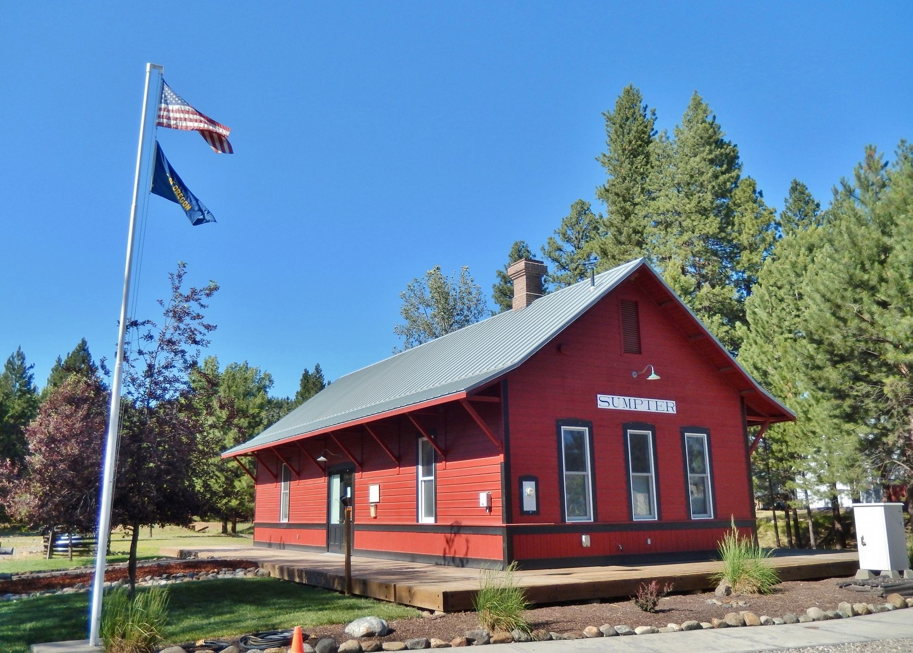
Sumpter in Baker County, Oregon — The American West (Northwest)
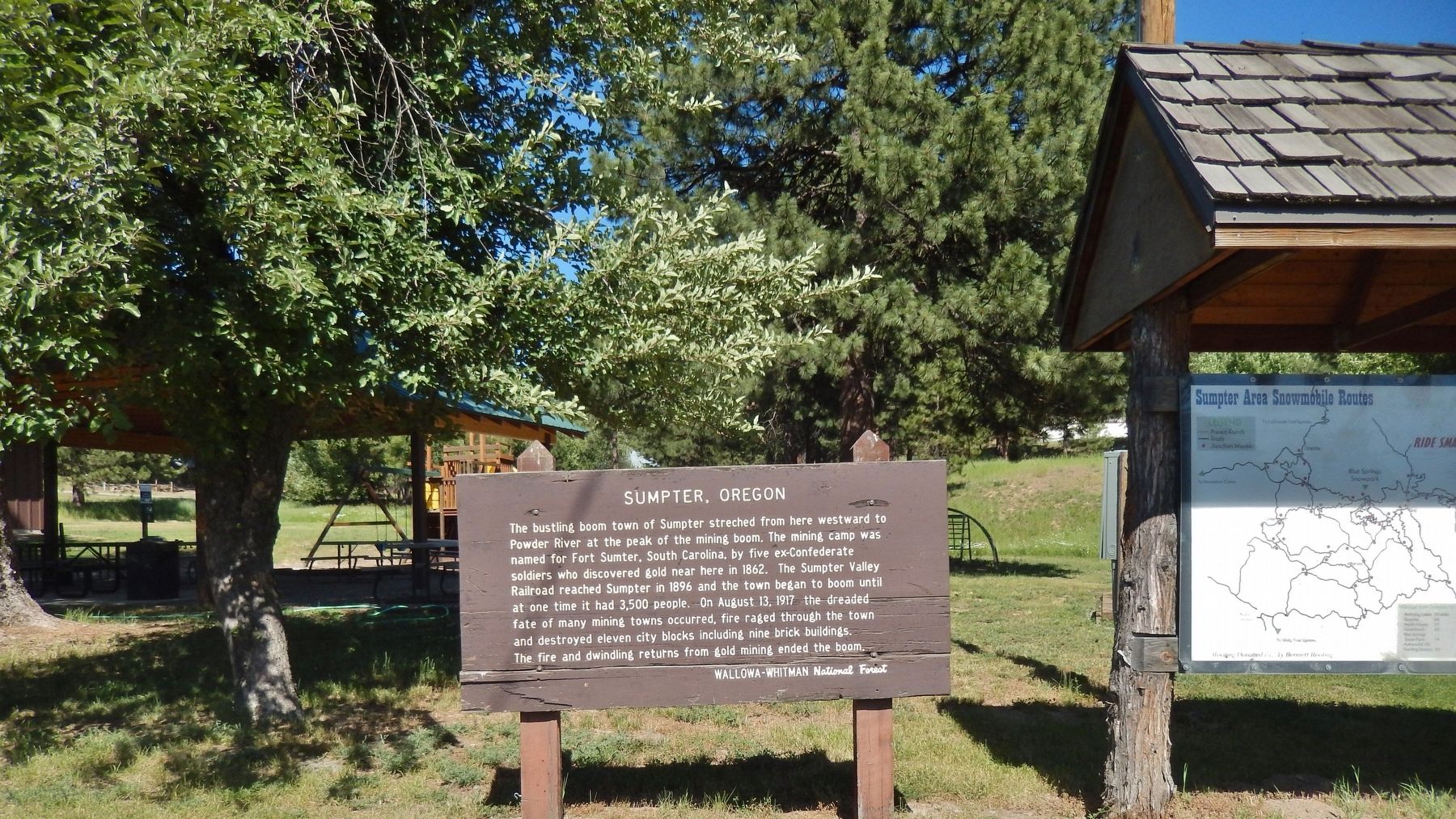
Sumpter, Oregon
The bustling boom town of Sumpter stretched from here westward to Powder River at the peak of the mining boom. The mining camp was named for Fort Sumter, South Carolina, by five ex-Confederate soldiers who discovered gold near here in 1862. The Sumpter Valley Railroad reached Sumpter in 1896 and the town began to boom until at one time it had 3,500 people. On August 13, 1917 the dreaded fate of many mining towns occurred, fire raged through the town and destroyed eleven city blocks including, nine brick buildings. The fire and dwindling returns from gold mining ended the boom.
Topics. This historical marker is listed in these topic lists: Disasters • Industry & Commerce • Railroads & Streetcars • Settlements & Settlers.
Location. 44° 44.852′ N, 118° 12.063′ W. Marker is in Sumpter, Oregon, in Baker County. Marker is at the intersection of Mill Street and Sumpter Highway (Oregon Route 410), on the right when traveling north on Mill Street. Touch for map. Marker is in this post office area: Sumpter OR 97877, United States of America. Touch for directions.
Other nearby markers. At least 6 other markers are within walking distance of this marker. Site of Bank of Sumpter (about 300 feet away, measured in a direct line); A Golden History (approx. ¼ mile away); A Working Dredge (approx. 0.4 miles away); Floating in its own pond (approx. 0.4 miles away); Anchoring the Dredge (approx. 0.4 miles away); A Tale of the Tailings (approx. 0.4 miles away).
More about this marker. Marker is a large wooden U.S. Forest Service sign, somewhat weathered.
Also see . . .
1. Sumpter, Oregon.
In 1862, five men from South Carolina were on their way to the California gold fields. While camped near cracker creek, they discovered gold in the creek gravels. The men decided to stay in the Sumpter area and built a cabin which they named Fort Sumter after a famous Civil War era fort in South Carolina. (Submitted on January 18, 2018, by Cosmos Mariner of Cape Canaveral, Florida.)
2. Sumpter, Oregon.
The community was platted in 1889, becoming a mining boom town about 10 years later. Until transportation by rail became feasible in the area, Sumpter was little more than "a huddle of crude log cabins." A narrow gauge railway reached Sumpter in 1897. Built by David C. Eccles, the Sumpter Valley Railway (SVR) ran 80 miles (130 km) from Baker City through Sumpter and on to Prairie City, which it reached in 1907. Until the line shut down in the 1930s, ranchers, mining interests, and timber companies used it to move freight. (Submitted on January 18, 2018, by Cosmos Mariner of Cape Canaveral, Florida.)
Credits. This page was last revised on October 14, 2020. It was originally submitted on January 18, 2018, by Cosmos Mariner of Cape Canaveral, Florida. This page has been viewed 241 times since then and 11 times this year. Photos: 1, 2, 3, 4, 5, 6. submitted on January 18, 2018, by Cosmos Mariner of Cape Canaveral, Florida. • Bill Pfingsten was the editor who published this page.

