Lowell in Lane County, Oregon — The American West (Northwest)
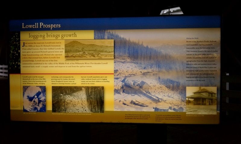
Lowell Prospers
Logging Brings Growth
Lowell's quiet rural life changed dramatically at the turn of the 20th century. Due to the booming growth of the Willamette Valley, changing technology, and consequently the growing need for lumber, the area's dense Douglas-fir forests (once an obstacle to farming) became a prized harvest. Lowell's population grew and valley residents found work in logging camps and sent their children to boarding school in the winter.
Riding the Rails
Routes of the Southern Pacific Railroad were expanded, reaching previously inaccessible areas for harvesting trees. This enormous boost to the region's timber industry in the early 1900s provided a reliable, inexpensive, and safe method of taking lumber from the high, mountain valleys to mills and markets down-valley. With the onset of World War I, price and demand for high-quality timber increased, and consequently the railroad pushed logging operations even deeper into the mountains to fill the need.
Topics. This historical marker is listed in these topic lists: Horticulture & Forestry • Industry & Commerce • Railroads & Streetcars • Settlements & Settlers.
Location. 43° 54.54′ N, 122° 46.766′ W. Marker is in Lowell, Oregon, in Lane County. Marker can be reached from S Pioneer St. Touch for map. Marker is in this post office area: Lowell OR 97452, United States of America. Touch for directions.
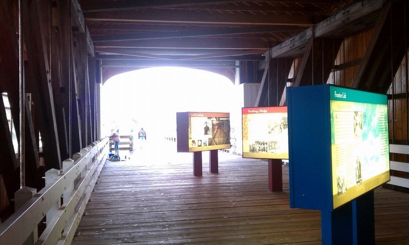
Other nearby markers. At least 8 other markers are within 9 miles of this marker, measured as the crow flies. A different marker also named Lowell Prospers (here, next to this marker); Frontier Life (here, next to this marker); a different marker also named Frontier Life (a few steps from this marker); Building a Bridge (a few steps from this marker); Lowell Covered Bridge (a few steps from this marker); Touring the Past (about 300 feet away, measured in a direct line); Elijah Bristow (approx. 8.7 miles away); Bristow Monument (approx. 8.7 miles away). Touch for a list and map of all markers in Lowell.
Credits. This page was last revised on January 20, 2018. It was originally submitted on January 18, 2018, by Douglass Halvorsen of Klamath Falls, Oregon. This page has been viewed 353 times since then and 103 times this year. Photos: 1, 2. submitted on January 18, 2018, by Douglass Halvorsen of Klamath Falls, Oregon. • Bill Pfingsten was the editor who published this page.

