Tahoe City in Placer County, California — The American West (Pacific Coastal)
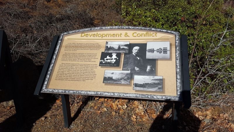
Development & Conflict
Bliss dismantled his operation at Glenbrook and shipped the company's buildings on barges across the lake. Then he built a railroad line to the pier at Commons Beach and began construction on a grand hotel, the Tahoe Tavern. On the pier at Tahoe Commons, he built the two-story Tahoe Mercantile.
Many people opposed this encroachment on public lands. Once local lumberman, Walter Bickford, even won a lawsuit against Bliss--but to no avail. Bliss continued his operations at Tahoe City until his death in 1907, when his son William took over the family businesses.One night in 1937, a mysterious fire leveled the Tahoe Mercantile, as well as the local post office and the Cedar Log Saloon. Bliss never rebuilt at Tahoe Commons. Over the years, the old Tahoe Tavern hotel competed with an increasing number of newer resorts. Eventually it fell into disrepair and was demolished in 1964.
Erected by Tahoe City Rotary Club.
Topics and series. This historical marker is listed in this topic list: Industry & Commerce . In addition, it is included in the Rotary International series list. A significant historical year for this entry is 1907.
Location. 39° 10.239′ N, 120° 8.444′ W. Marker is in Tahoe City, California, in Placer County. Touch for map. Marker is in this post office area: Tahoe City CA 96145, United States of America. Touch for directions.
Other nearby markers. At least 8 other markers are within walking distance of this marker. Trains and Tourists (here, next to this marker); Grand Central Hotel (within shouting distance of this marker); The Watson Cabin (about 300 feet away, measured in a direct line); Early Tahoe City (about 400 feet away); Tahoe City (about 400 feet away); Tahoe City’s “Big Tree” (about 400 feet away); Olympic Silver, 1956 to 1971 (about 400 feet away); Tahoe City Begins, 1860 to 1895 (about 400 feet away). Touch for a list and map of all markers in Tahoe City.
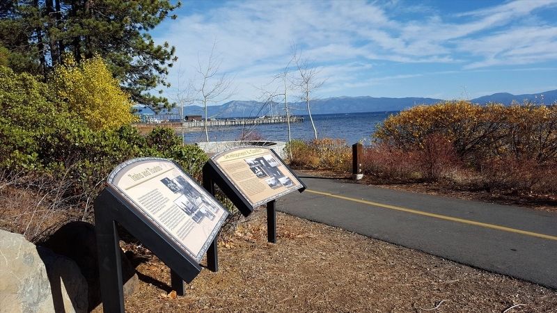
More about this marker. Marker is located in Commons Beach Park and along a bike path.
Credits. This page was last revised on January 22, 2018. It was originally submitted on January 19, 2018, by Douglass Halvorsen of Klamath Falls, Oregon. This page has been viewed 146 times since then and 9 times this year. Photos: 1, 2. submitted on January 19, 2018, by Douglass Halvorsen of Klamath Falls, Oregon. • Andrew Ruppenstein was the editor who published this page.

