Astoria in Clatsop County, Oregon — The American West (Northwest)
Columbia River Bar
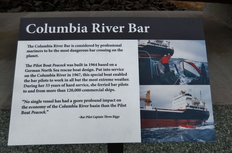
The Columbia River Bar is considered by professional mariners to be the most dangerous bar crossing on the planet.
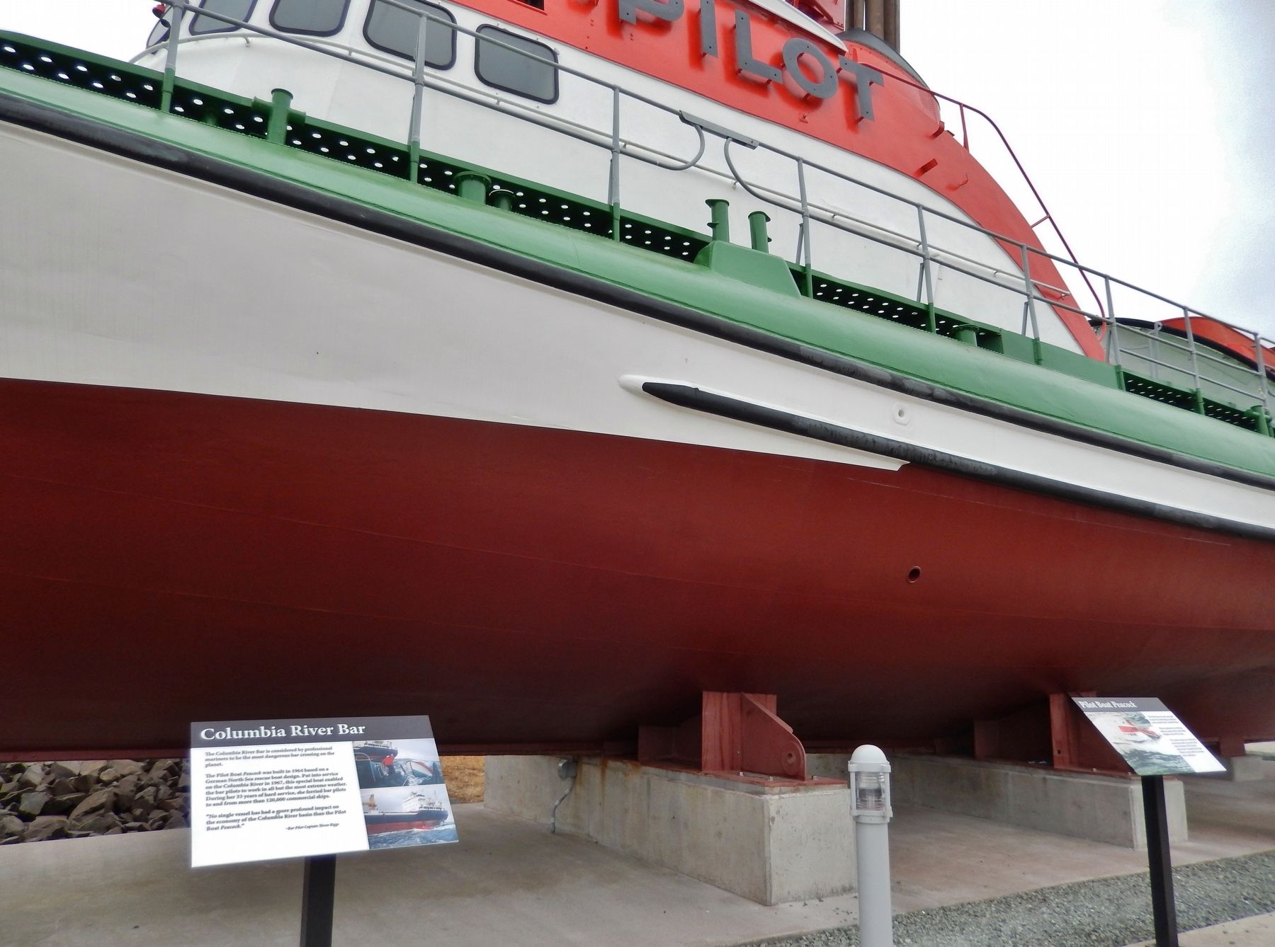
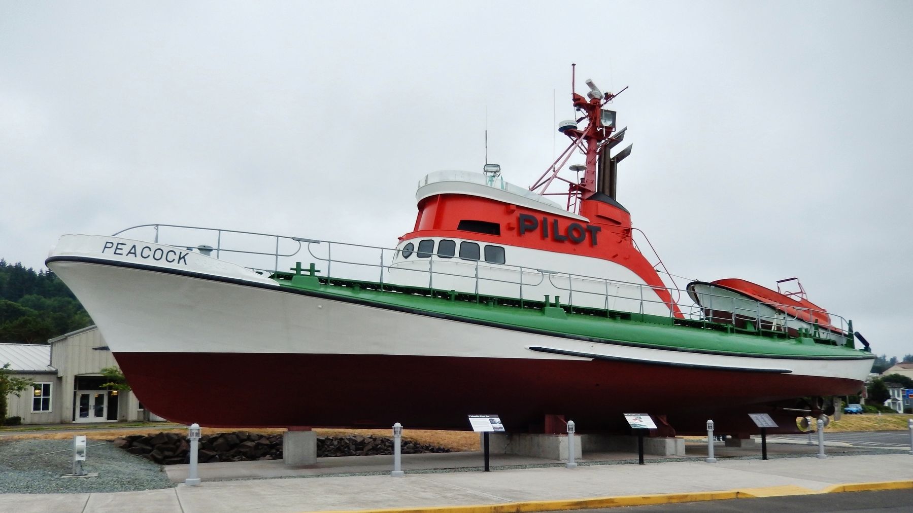
The Pilot Boat Peacock was built in 1964 based on a German North Sea rescue boat design. Put into service on the Columbia River in 1967, this special boat enabled the bar pilots to work in all but the most extreme weather. During her 33 years of hard service, she ferried bar pilots to and from more than 120,000 commercial ships.
"No single vessel has had a more profound impact on the economy of the Columbia River basin than the Pilot Boat Peacock."
-Bar Pilot Captain Thron Riggs
Topics. This historical marker is listed in these topic lists: Industry & Commerce • Waterways & Vessels.
Location. 46° 11.378′ N, 123° 49.226′ W. Marker is in Astoria, Oregon, in Clatsop County. Marker is at the intersection of Marine Drive and 20th Street, on the left when traveling east on Marine Drive. Marker is located beside the Pilot Boat Peacock, a public outdoor exhibit at the Columbia River Maritime Museum. Touch for map. Marker is at or near this postal address: 1792 Marine Drive, Astoria OR 97103, United States of America. Touch for directions.
Other nearby markers. At least 8 other markers are within walking distance of this marker. Pilot Boat Peacock (here, next to this marker); A Great Artery of Transportation (approx. ¼ mile away); A Waterfront at Work (approx. ¼ mile away); Into the Unknown (approx. 0.3 miles away); Ranald MacDonald (approx. 0.3 miles away); Site of Original Settlement of Astoria (approx. 0.3 miles away); Fort Astoria (approx. 0.3 miles away); 14th Street Ferry Slip (approx. 0.4 miles away). Touch for a list and map of all markers in Astoria.
Related markers. Click here for a list of markers that are related to this marker.
Also see . . .
1. Graveyard of the Pacific. The Columbia River Bar, where the Pacific Ocean and Columbia River meet, can be a navigational nightmare. Since 1792, approximately 2,000 ships have sunk in this area, earning it the nickname "Graveyard of the Pacific." Water, weather, and geography work together at times to make the bar treacherous. (Submitted on January 19, 2018, by Cosmos Mariner of Cape Canaveral, Florida.)
2. Columbia River Bar Pilots.
The Columbia River Bar Pilots were established in 1846 to ensure the safety of ships, crews and cargoes crossing the treacherous Columbia River Bar, which is recognized as one of the most dangerous and challenging navigated stretches of water in the world. The volume of water flowing from the Columbia River and the force of impact with
North Pacific storms combine to create daunting sea conditions.
Successful passage grants access to many inland ports, where economic transportation of goods between the Pacific Northwest and the world averages about 40 million tons of cargo valued at $23 billion each year. (Submitted on January 19, 2018, by Cosmos Mariner of Cape Canaveral, Florida.)
3. Crossing the Columbia River Bar dailykos.
Many of the early European explorers who were looking for the mythical Columbia River, such as Heceta, Cook, and Vancouver, missed the mouth of the river. The British fur trader John Meares sighted what he thought was a large river in July, 1788. He tried to cross the Bar, but abandoned the attempt due to the dangerously large breakers. He waited for a time for the seas to calm, but eventually concluded that the fresh water must be from a bay rather than a river. He named the northern cape Disappointment and the “bay” Deception. He recorded in his journal: “We can now assert that there is no such river.” (Submitted on January 19, 2018, by Cosmos Mariner of Cape Canaveral, Florida.)
Credits. This page was last revised on March 16, 2023. It was originally submitted on January 19, 2018, by Cosmos Mariner of Cape Canaveral, Florida. This page has been viewed 314 times since then and 33 times this year. Photos: 1, 2, 3. submitted on January 19, 2018, by Cosmos Mariner of Cape Canaveral, Florida. • Bill Pfingsten was the editor who published this page.


