Old Sacramento in Sacramento County, California — The American West (Pacific Coastal)
Sacramento River Waterfront
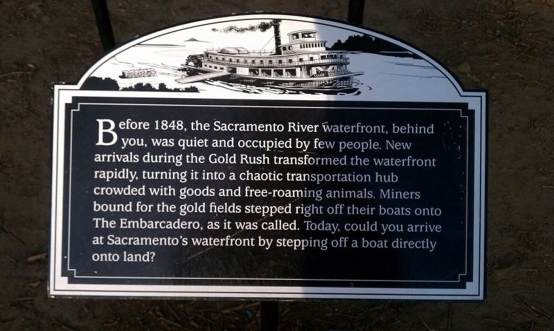
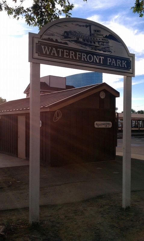
Before 1848, the Sacramento River waterfront, behind you, was quiet and occupied by few people. New arrivals during the Gold Rush transformed the waterfront rapidly, turning it into a chaotic transportation hub crowded with goods and free-roaming animals. Miners bound for the gold fields stepped right off their boats onto The Embarcadero, as it was called. Today, could you arrive at Sacramento's waterfront by stepping off a boat directly onto land?
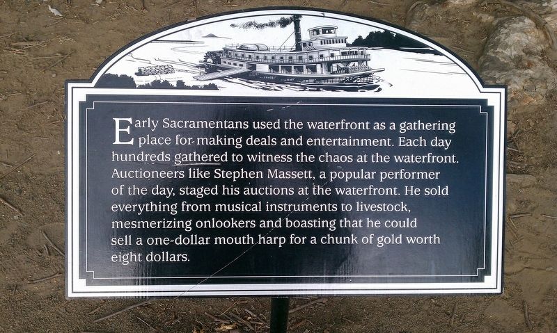
Early Sacramentans used the waterfront as a gathering place for making deals and entertainment. Each day hundreds gathered to witness the chaos at the waterfront. Auctioneers like Stephen Massett, a popular performer of the day, staged his auctions at the waterfront. He sold everything from musical instruments to livestock, mesmerizing onlookers and boasting that he could sell a one-dollar mouth harp for a chunk of gold worth eight dollars.
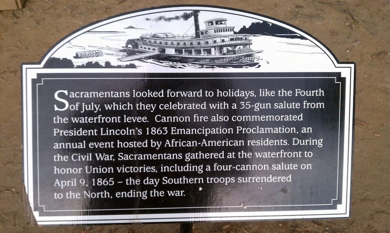
Sacramentans looked forward to holidays, like the Fourth of July, which they celebrated with a 35-gun salute from the waterfront levee. Cannon fire also commemorated President Lincoln's 1863 Emancipation Proclamation, an annual event hosted by African-American residents. During the Civil War, Sacramentans gathered at the waterfront to honor Union victories, including a four-cannon salute on April 9, 1865 - the day Southern troops surrendered to the North, ending the war.
Topics and series. This historical marker is listed in these topic lists: Parks & Recreational Areas • Waterways & Vessels. In addition, it is included in the Former U.S. Presidents: #16 Abraham Lincoln series list. A significant historical year for this entry is 1848.
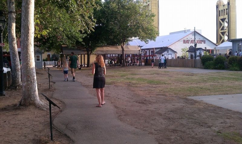
Location. Marker has been reported permanently removed. It was located near 38° 34.903′ N, 121° 30.382′ W. Marker was in Sacramento, California, in Sacramento County. It was in Old Sacramento. Marker was on Front Street north of Capitol Mall, on the right when traveling south. Touch for map. Marker was in this post office area: Sacramento CA 95814, United States of America.
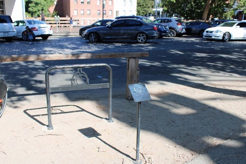
We have been informed that this sign or monument is no longer there and will not be replaced. This page is an archival view of what was.
Other nearby markers. At least 8 other markers are within walking distance of this location. Old Sacramento Schoolhouse Museum (within shouting distance of this marker); Pony Express River Steamer “Antelope” (about 300 feet away, measured in a direct line); Mile Marker 0 (about 300 feet away); Lady Adams Building (about 400 feet away); Sacramento Engine Company No. 3 (about 400 feet away); Theodore Dehone Judah (about 500 feet away); Booth Building (about 600 feet away); USS Sacramento (PG-19) (about 600 feet away). Touch for a list and map of all markers in Sacramento.
Credits. This page was last revised on February 7, 2023. It was originally submitted on January 20, 2018, by Douglass Halvorsen of Klamath Falls, Oregon. This page has been viewed 355 times since then and 14 times this year. Last updated on July 4, 2022, by Joseph Alvarado of Livermore, California. Photos: 1, 2, 3, 4, 5. submitted on January 20, 2018, by Douglass Halvorsen of Klamath Falls, Oregon. 6. submitted on July 4, 2022, by Joseph Alvarado of Livermore, California. • Syd Whittle was the editor who published this page.
