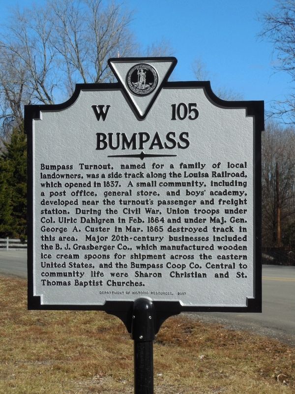
Bumpass in Louisa County, Virginia — The American South (Mid-Atlantic)
Bumpass
Erected 2017 by Department of Historic Resources. (Marker Number W-105.)
Topics and series. This historical marker is listed in these topic lists: Industry & Commerce • Railroads & Streetcars • War, US Civil. In addition, it is included in the Virginia Department of Historic Resources (DHR) series list. A significant historical month for this entry is February 1864.
Location. 37° 57.805′ N, 77° 44.251′ W. Marker is in Bumpass, Virginia, in Louisa County. Marker is at the intersection of Bumpass Road (Virginia Route 601) and Borden Road (Virginia Route 701), on the right when traveling south on Bumpass Road. Touch for map. Marker is in this post office area: Bumpass VA 23024, United States of America. Touch for directions.
Other nearby markers. At least 8 other markers are within 9 miles of this marker, measured as the crow flies. Jerdone Castle (approx. 3 miles away); The Depot at Beaver Dam (approx. 4.8 miles away); Beaver Dam School (approx. 5.6 miles away); Henry Box Brown (approx. 8.6 miles away); William Clark Birthplace (approx. 8.8 miles away); Captain Jack Jouett, Jr. (approx. 8.9 miles away); Cuckoo (approx. 8.9 miles away); Jack Jouett's Ride (approx. 8.9 miles away).
More about this marker. Dedicated on September 23, 2017.
Also see . . . Bumpass. C&O Piedmont Subdivision (Submitted on January 22, 2018.)
Credits. This page was last revised on July 7, 2021. It was originally submitted on January 21, 2018, by Cynthia Hottinger of Midlothian, Virginia. This page has been viewed 927 times since then and 71 times this year. Photo 1. submitted on January 21, 2018, by Cynthia Hottinger of Midlothian, Virginia. • Bernard Fisher was the editor who published this page.
Editor’s want-list for this marker. Wide shot of marker and its surroundings. • Can you help?
