Near Hot Springs in Fall River County, South Dakota — The American Midwest (Upper Plains)
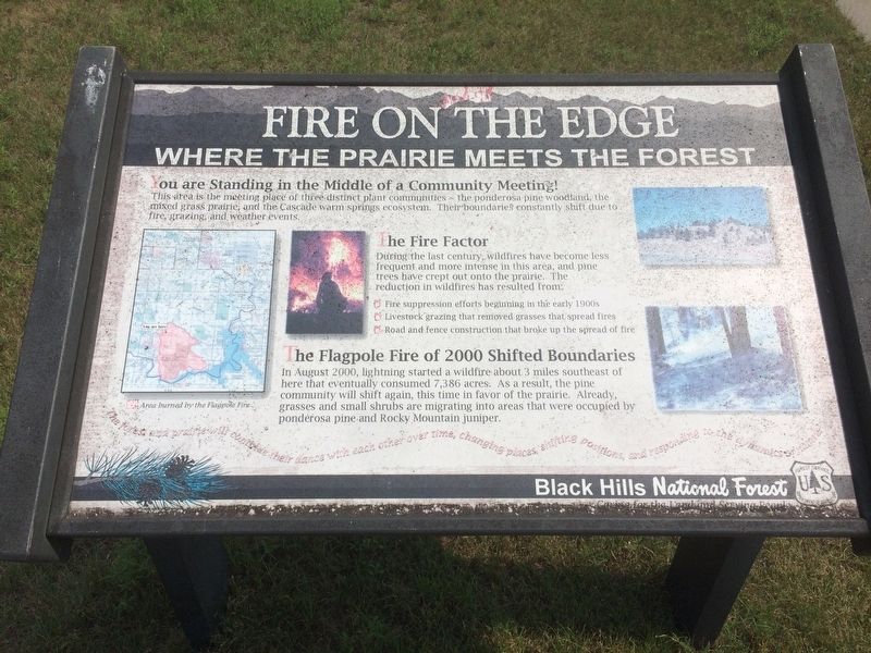
Fire on the Edge
Where the Prairie Meets the Forest
— Black Hills National Forest —
You are Standing in the Middle of a Community Meeting!
This area is the meeting place of three distinct plant communities ~ the ponderosa pine woodland, the mixed grass prairie, and the Cascade warm springs ecosystem. Their boundaries constantly shift due to fire, grazing, and weather events.
The Fire Factor
During the last century, wildfires have become less frequent and more intense in this area, and pine trees have crept out onto the prairie. The reduction in wildfires has resulted from:
• Fire suppression efforts beginning in the early 1900s
• Livestock grazing that removed grasses that spread fires
• Road and fence construction that broke up the spread of fire
The Flagpole Fire of 2000 Shifted Boundaries
In August 2000, lightning started a wildfire about 3 miles southeast of here that eventually consumed 7,386 acres. As a result, the pine community will shift again, this time in favor of the prairie. Already, grasses and small shrubs are migrating into areas that were occupied by ponderosa pine and Rocky Mountain juniper.
The forest and prairie will continue their dance with each other over time, changing places, shifting positions, and responding to the dynamics of nature.
Erected by U.S. Forest Service.
Topics. This historical marker is listed in these topic lists: Environment • Horticulture & Forestry • Parks & Recreational Areas. A significant historical month for this entry is August 2000.
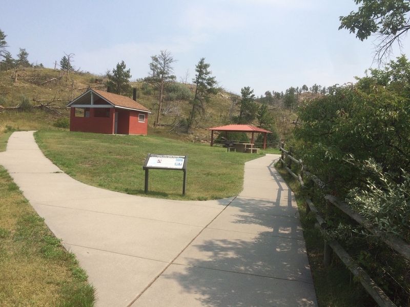
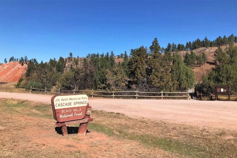
Location. 43° 20.096′ N, 103° 33.079′ W. Marker is near Hot Springs, South Dakota, in Fall River County. Marker is on State Highway 71, 0.1 miles south of Cascade Trail. Marker is located at J.H. Keith Memorial Park, Cascade Springs. Touch for map. Marker is in this post office area: Hot Springs SD 57747, United States of America. Touch for directions.
Other nearby markers. At least 8 other markers are within 9 miles of this marker, measured as the crow flies. Wood Stage Station (approx. 2.2 miles away); John Stevenson Robertson: Pioneer Horticulturalist (approx. 5.8 miles away); Mammoth Site of Hot Springs, SD (approx. 7 miles away); Leslie Jensen Scenic Drive (approx. 7˝ miles away); Hot Springs, SD (approx. 7˝ miles away); Sandstone Architecture of Hot Springs, SD (approx. 7.8 miles away); An Old Jail - 1888 (approx. 7.8 miles away); a different marker also named Leslie Jensen Scenic Drive (approx. 8.1 miles away). Touch for a list and map of all markers in Hot Springs.
Credits. This page was last revised on October 23, 2021. It was originally submitted on January 21, 2018, by Ruth VanSteenwyk of Aberdeen, South Dakota. This page has been viewed 263 times since then and 21 times this year. Last updated on October 23, 2021. Photos: 1, 2. submitted on January 21, 2018, by Ruth VanSteenwyk of Aberdeen, South Dakota. 3. submitted on October 23, 2021. • J. Makali Bruton was the editor who published this page.


