Near Devils Tower in Crook County, Wyoming — The American West (Mountains)
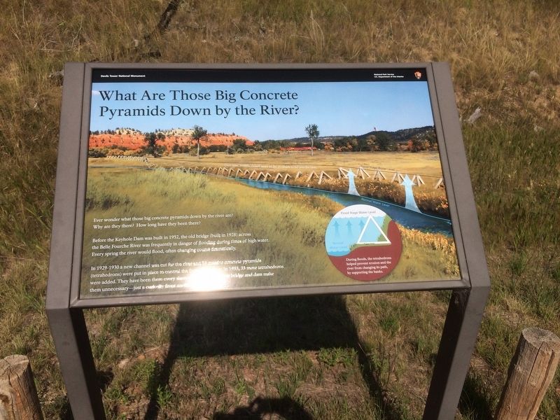
What Are Those Big Concrete Pyramids Down by the River?
Inscription.
Ever wonder what those big concrete pyramids down by the river are? Why are they there? How long have they been there?
Before the Keyhole Dam was built in 1952, the old bridge (built in 1928) across the Belle Fourche River was frequently in danger of flooding during times of high water. Every spring the river would flood, often changing course dramatically.
In 1929-1930 a new channel was cut for the river and 39 massive concrete pyramids (tetrahedrons) were put in place to control the flooding river. In 1933, 33 more tetrahedrons were added. They have been there every single day. The new bridge and dam make them unnecessary - just a curiosity from an earlier time.
During floods, the tetrahedrons helped prevent erosion and the river from changing its path, by supporting the banks.
Topics. This historical marker is listed in these topic lists: Bridges & Viaducts • Man-Made Features • Parks & Recreational Areas. A significant historical year for this entry is 1952.
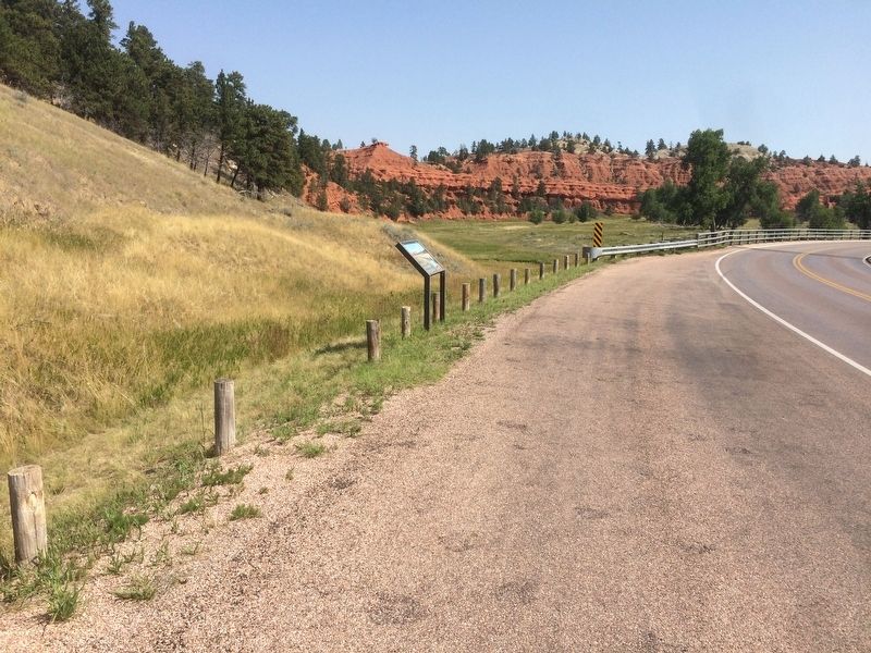
Location. 44° 35.357′ N, 104° 42.278′ W. Marker is near Devils Tower, Wyoming, in Crook County. Marker is on State Highway 110. Marker is located within the Devils Tower Monument just past the gate on the right. Touch for map. Marker is in this post office area: Devils Tower WY 82714, United States of America. Touch for directions.
Other nearby markers. At least 8 other markers are within walking distance of this marker. Life Above and Below Ground (approx. 0.3 miles away); Daredevil Stunt (approx. 0.4 miles away); Many Meanings for Many People (approx. half a mile away); Reach for the Top (approx. half a mile away); Bountiful Land (approx. 0.6 miles away); People of the Land (approx. 0.6 miles away); Buried Tower (approx. 0.6 miles away); How Did the Tower Form? (approx. 0.7 miles away). Touch for a list and map of all markers in Devils Tower.
Also see . . . Devils Tower National Monument. (Submitted on January 21, 2018, by Ruth VanSteenwyk of Aberdeen, South Dakota.)
Credits. This page was last revised on January 22, 2018. It was originally submitted on January 21, 2018, by Ruth VanSteenwyk of Aberdeen, South Dakota. This page has been viewed 488 times since then and 27 times this year. Photos: 1, 2. submitted on January 21, 2018, by Ruth VanSteenwyk of Aberdeen, South Dakota. • Andrew Ruppenstein was the editor who published this page.
Editor’s want-list for this marker. Clear photo of marker. Photo of the concrete pyramids & river. • Can you help?

