Near Beulah in Crook County, Wyoming — The American West (Mountains)
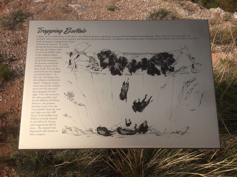
Trapping Buffalo
Indians used a combination of drivelines, controlled harassment, and decoys to move the herd toward the intended trap. Here at the Vore site, drainages were probably used to keep the herd together and headed in the desired direction. In addition, rows of stone cairns in nearby pastures indicate that the Indians used man-made structures to supplement natural containment features. Too avoid having the herd scatter and avoid the trap, the Indians tried to move the buffalo close to the sinkhole before causing them to stampede. In the final moments, the hunters wanted the buffalo to panic, lower their heads, kick up dust, and think that the danger was behind them. In fact, the real danger was the sinkhole immediately ahead. Desperate to get away, most of the animals never saw the trap until they plunged over the edge. Over the centuries the tribes possibly used several different drivelines. However, the primary driveline at the Vore site was probably from the west and right over this cliff. Many of the buffalo were killed or severely injured by the fall or by having other large bison fall on them. The injured were dispatched with arrows or other weapons.
Topics. This historical marker is listed in these topic lists: Animals • Native Americans.
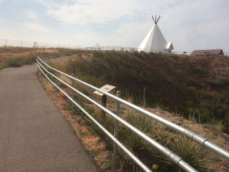
Location. 44° 32.141′ N, 104° 9.401′ W. Marker is near Beulah, Wyoming, in Crook County. Marker is on Old Hwy 14, 3 miles east of State Highway 86. This marker is located within the Vore Site. Touch for map. Marker is at or near this postal address: 5526 Old Hwy 14, Beulah WY 82712, United States of America. Touch for directions.
Other nearby markers. At least 8 other markers are within 3 miles of this marker, measured as the crow flies. A Community Processing Plant (within shouting distance of this marker); Understanding Bison Behavior Brought Success (within shouting distance of this marker); Discovering the Vore Archaeological Site (within shouting distance of this marker); The Ideal Hunting Ground (within shouting distance of this marker); Preparing for Impending Blizzards (within shouting distance of this marker); Vore Buffalo Jump (within shouting distance of this marker); The Custer Trail (approx. 2˝ miles away); Rich Colors, Rich Lands (approx. 2˝ miles away). Touch for a list and map of all markers in Beulah.
Credits. This page was last revised on December 21, 2020. It was originally submitted on January 22, 2018, by Ruth VanSteenwyk of Aberdeen, South Dakota. This page has been viewed 233 times since then and 30 times this year. Photos: 1, 2. submitted on January 22, 2018, by Ruth VanSteenwyk of Aberdeen, South Dakota. • Andrew Ruppenstein was the editor who published this page.

