Anthon in Woodbury County, Iowa — The American Midwest (Upper Plains)
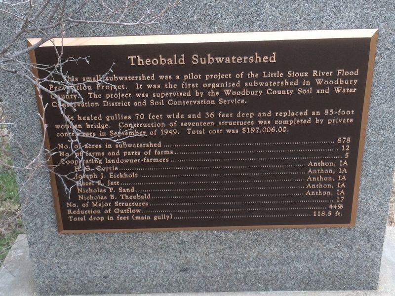
Theobald Subwatershed
This small subwatershed was a pilot project of the Little Sioux River Flood Preservation Project. It was the first organized subwatershed in Woodbury County. The project was supervised by the Woodbury County Soil and Water Conservation District and Soil Conservation Service.
It healed gullies 70 feet wide and 36 feet deep and replaced an 85-foot wooden bridge. Construction of seventeen structures was completed by private contractors in September of 1949. Total cost was $197,006.00
No. of acres in subwatershed . . . . . .878
No. of farms and parts of farms . . . . .12
Cooperating landowner-farmers . . . . . .5
H.G. Corrie . . . . . . . . . . .Anthon, IA
Joseph J. Eickholt. . . . . . . .Anthon, IA
Hazel E. Jett . . . . . . . . .. Anthon, IA
Nicholas P. Sand . . . . . . . . Anthon, IA
Nicholas B. Theobald . . . . . . Anthon, IA
No. of Major Structures . . . . . . . . .17
Reduction of Outflow . . . . . . . . . .44%
Total drop in feet (main gully) . . 118.5 ft.
Erected by Woodbury County Soil and Water Conservation District.
Topics. This historical marker is listed in these topic lists: Environment • Horticulture & Forestry. A significant historical month for this entry is September 1949.
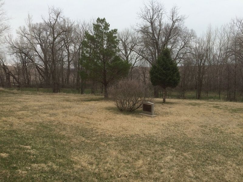
Location. 42° 23.151′ N, 95° 56.48′ W. Marker is in Anthon, Iowa, in Woodbury County. Marker is at the intersection of Kossuth Avenue (State Highway 38) and Kossuth Ave, on the right when traveling west on Kossuth Avenue. Touch for map. Marker is in this post office area: Anthon IA 51004, United States of America. Touch for directions.
Other nearby markers. At least 7 other markers are within 14 miles of this marker, measured as the crow flies. Woodbury County Freedom Rock Veterans Memorial (approx. 4 miles away); Strong, Simple and Economical (approx. 9.4 miles away); Correctionville's Engine for Growth (approx. 9.4 miles away); Veteran's Memorial (approx. 9.9 miles away); Built for a Lifetime of Service (approx. 9.9 miles away); How Correctionville Got Its Name! (approx. 10.1 miles away); Kingsley Freedom Rock Veterans Memorial (approx. 14 miles away).
Credits. This page was last revised on January 25, 2018. It was originally submitted on January 24, 2018, by Ruth VanSteenwyk of Aberdeen, South Dakota. This page has been viewed 187 times since then and 15 times this year. Photos: 1, 2. submitted on January 24, 2018, by Ruth VanSteenwyk of Aberdeen, South Dakota. • Bill Pfingsten was the editor who published this page.

