Shady Dale in Jasper County, Georgia — The American South (South Atlantic)
Shady Dale
"Forage Liberally on the Country"
— March to the Sea Heritage Trail —
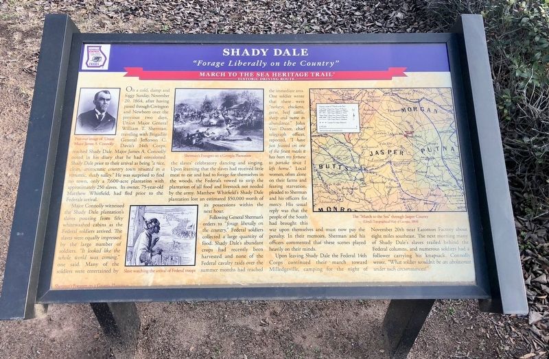
Major Connolly witnessed the Shady Dale plantation's slaves pouring from fifty whitewashed cabins as the Federal soldiers arrived. The slaves were equally impressed by the large number of soldiers. "It looked like the whole world was coming," one said. Many of the soldiers were entertained by the slaves' celebratory dancing and singing. Upon learning that the slaves had received little meat to eat and had to forage for themselves in the woods, the Federals vowed to strip the plantation of all food and livestock not needed by the army. Matthew Whitfield's Shady Dale plantation lost an estimated $50,000 worth of its possessions within the next hour.
Following General Sherman's orders to "forage liberally on the country," Federal soldiers collected a large quantity of food. Shady Dale's abundant crops had recently been harvested and none of the Federal cavalry raids over the summer months had reached the immediate area. One soldier wrote that there were "turkeys, chickens, geese, beef cattle, sheep and swine in abundance." John Van Duzer, chief telegraph officer, reported, "I have just feasted on one of the finest meals it has been my fortune to partake since I left home." Local women, often alone on their farms and fearing starvation, pleaded to Sherman and his officers for mercy. His usual reply was that the people of the South had brought this war upon themselves and must now pay the penalty. In their memoirs, Sherman and his officers commented that these scenes played heavily on their minds.
Upon leaving Shady Dale the Federal 14th Corps continued their march toward Milledgeville, camping for the night of November 20th near Eatonton Factory about eight miles southeast. The next morning many of Shady Dale's slaves trailed behind the Federal columns, and numerous soldiers had a follower carrying his knapsack. Connolly wrote, "What soldier wouldn't be an abolitionist under such circumstances?"
Erected by Georgia Civil War Heritage Trails, Inc. (Marker Number L8.)
Topics and series. This historical marker is listed in this topic list: War, US Civil. In addition, it is included in the Sherman’s March to the Sea series list. A significant historical date for this entry is November 20, 1864.
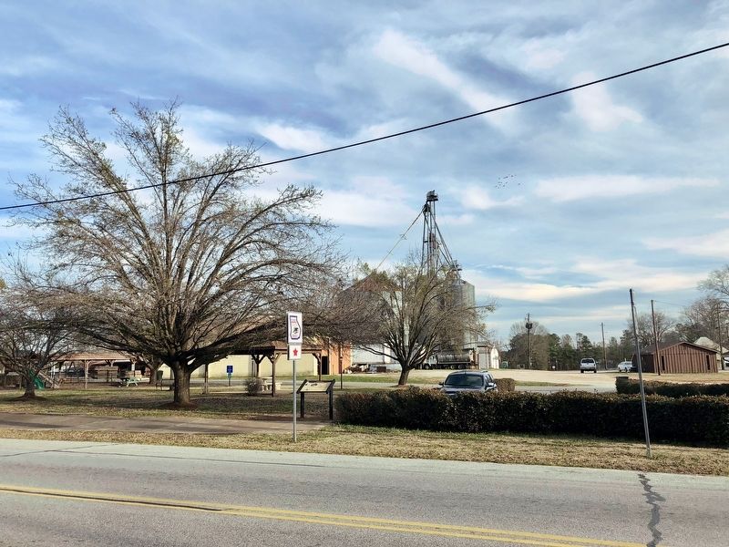
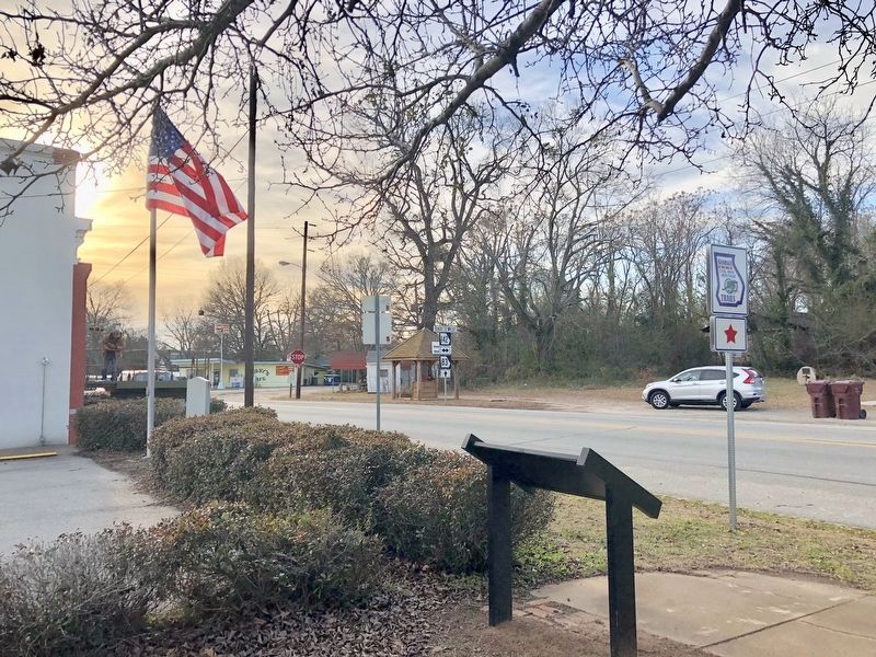
Location. 33° 24.066′ N, 83° 35.387′ W. Marker is in Shady Dale, Georgia, in Jasper County. Marker is on Main Street (Georgia Route 83) north of Eatonton Highway (Georgia Route 142), on the right when traveling north. Located at the edge of Community Park. Touch for map. Marker is at or near this postal address: 22574 Main Street, Shady Dale GA 31085, United States of America. Touch for directions.
Other nearby markers. At least 8 other markers are within 9 miles of this marker, measured as the crow flies. Old Stage Coach Inn (within shouting distance of this marker); Providence Baptist Church (approx. 0.3 miles away); Pennington (approx. 5.7 miles away); Godfrey (approx. 6.4 miles away); WWII B-25C Airplane Crash (approx. 6.8 miles away); Antioch Baptist Church (approx. 7.6 miles away); Reese Home (approx. 8˝ miles away); Jasper County (approx. 8.6 miles away). Touch for a list and map of all markers in Shady Dale.
Regarding Shady Dale. This plantation community was heavily foraged on November 20, 1864 by the Federal 14th Corps, accompanied by General Sherman, while also liberating hundreds of jubilant slaves.
General
Sherman spent the night in the Shady Dale Hotel, owned by Matthew Whitfield, a wealthy Georgia State legislator. Sherman's officers stayed in the Shaw and Lancaster homes.
Credits. This page was last revised on April 18, 2021. It was originally submitted on January 25, 2018, by Mark Hilton of Montgomery, Alabama. This page has been viewed 807 times since then and 75 times this year. Photos: 1, 2, 3. submitted on January 25, 2018, by Mark Hilton of Montgomery, Alabama.


