Lee Hall in Newport News, Virginia — The American South (Mid-Atlantic)
The Warwick River
1862 Peninsula Campaign
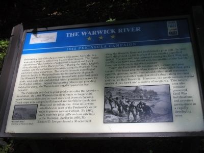
The Peninsula switched to grain production after the American Revolution. By 1810, Warwick County farmers no longer cultivated tobacco and focused on truck crops and livestock farming. Truck crops were shipped to Richmond and Norfolk by the James River and its tributaries. Grist mills were established on most of the Peninsula’s waterways to process corn and wheat. By 1860, there were two grist mills and one saw mill on the Warwick. Earlier in 1856, Mr. Richard D. Lee purchased a 30-acre tract along the Warwick River and established a grist mill. In 1860, Lee’s Mill ground 12,000 bushels of corn, reaping a profit of $9,900. The grist mill was destroyed during the Civil War, and the Warwick River was altered with the creation of the Lee Hall Reservoir in the early twentieth century.
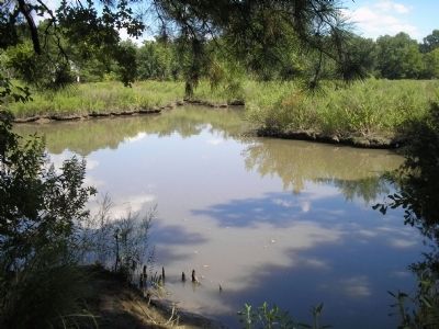
Today, the Lee’s Mill site contains oak, hickory and pine timber. The forest and marshes support white-tailed deer, gray squirrel, opossum, rabbit, raccoon and other small mammals. Canada geese and other waterfowl find habitat along the river and the Lee Hall Reservoir. Moreover, the woods contain several species of owl, hawk and a variety of songbirds. This natural area also contains preserved Civil War fortifications and provides green-space in a rapidly developing area.
Erected by Virginia Civil War Trails.
Topics. This historical marker is listed in these topic lists: Colonial Era • War, US Civil. A significant historical year for this entry is 1810.
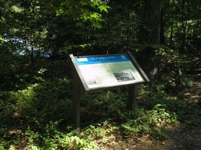
Location. 37° 9.865′ N, 76° 33.812′ W. Marker is in Newport News, Virginia. It is in Lee Hall. Marker can be reached from Rivers Ridge Circle, on the left when traveling west. Marker is located along the walking trail in Lee’s Mill Historic Park, off Warwick Blvd. Touch for map. Marker is in this post office area: Newport News VA 23608, United States of America. Touch for directions.
Other nearby markers. At least 8 other markers are within walking distance of this marker. Union Occupation (about 400 feet away, measured in a direct line); The Warwick-Yorktown Line (about 500 feet away); Fortification Design (about 500 feet away); The Battle of Lee’s Mill (about 600 feet away); Lee’s Mill (about 600 feet away); a different marker also named Battle of Lee’s Mill (about 600 feet away); Lee’s Mill Earthworks (approx. 0.4 miles away); Air Cushion Vehicle, SK-5 (approx. 0.6 miles away). Touch for a list and map of all markers in Newport News.
More about this marker. A picture of a native catfish appears on the upper left of the marker, next to the title. A photograph of “Wynne’s Mill,” Courtesy of Frederick Boelt is at the bottom left of the marker, next to a sketch of local fishermen working in the Warwick River.
Related markers. Click here for a list of markers that are related to this marker. Markers along the walking trail in Lee’s Mill Historic Park.
Also see . . .
1. Peninsula Campaign of 1862. (Submitted on September 10, 2008, by Bill Coughlin of Woodland Park, New Jersey.)
2. Tidewater Virginia, The 1862 Peninsula Campaign. Civil War Traveler. (Submitted on September 10, 2008, by Bill Coughlin of Woodland Park, New Jersey.)
Credits. This page was last revised on February 1, 2023. It was originally submitted on September 10, 2008, by Bill Coughlin of Woodland Park, New Jersey. This page has been viewed 2,005 times since then and 46 times this year. Photos: 1, 2, 3, 4. submitted on September 10, 2008, by Bill Coughlin of Woodland Park, New Jersey.


