Near Mobridge in Corson County, South Dakota — The American Midwest (Upper Plains)
Leavenworth Battle
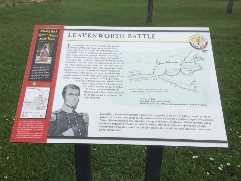
In the summer of 1823, two of the first battles between Indians and Whites in South Dakota took place as a result of the desire for revenge. The conflicts began when the Arikara (Sahnish), living along the Missouri River at the time, blamed whites for the death of one of their revered leaders, Ankedoucharo. The Arikara village chief traveled to Washington, D.C., in 1806 and died there without explanation. The fact that Lewis and Clark, who had negotiated the trip, did not tell the Arikara about his death until over a year later lent credence to the sentiments of blame. The Arikara were hostile toward several groups of traders and explorers throughout the next several years. Prior to this event, the Arikara were considered friendly toward white traders and explorers. In June of 1823, however, a group of traders traveling up from St. Louis toward Yellowstone were directly attacked by an Arikara war party lead by Grey Eyes. The soldiers were lead by General William H. Ashley, lieutenant governor of Missouri, and suffered several casualties in the fight, as well as the loss of their cargo and boats.
Colonel Henry Leavenworth gathered a group of six companies of the 6th U.S. Infantry, several groups of the volunteer fur traders, and a group of Lakota/Nakota/Dakota warriors for a retaliatory expedition against the Arikara. The ensuing battle was indecisive, although a number of Arikara were killed in the fight. During a cease-fire negotiation for surrender with the Arikara, most of the Arikara escaped during the night. Leavenworth's group then burned the Arikara villages to the ground, destroyed their grain reserves and killed their livestock.
Leavenworth Batttle
Long Soldier Winter Count Icon 1823
Rees driven from camp and Sioux and white men feast on corn from their fields.
Standing Rock Native American Scenic Byway
On the east side of Fort Yates, overlooking Oahe Reservoir, is the Standing Rock Monument from which the Standing Rock Agency derived its name. According to legend, the stone is the petrification of the Arikara wife of a Dakota man with her child on her back.
The Standing Rock Native American Scenic Byway offers access to authentic history and culture of the Lakota/Dakota people, along with casino entertainment, great food and lodging, and uncrowded outdoor recreation.
Grand vistas present the Missouri River along the same routs traveled by Lewis and Clark, Sakakawea, and Sitting Bull.
Topics. This historical marker is listed in these topic lists: Native Americans • Wars, US Indian. A significant historical month for this entry is June 1823.
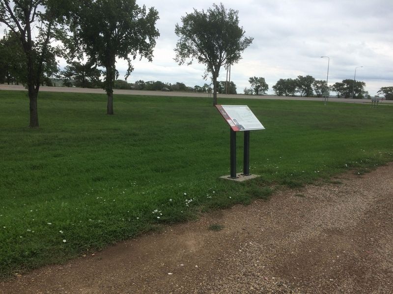
Location. 45° 34.401′ N, 100° 29.193′ W. Marker is near Mobridge, South Dakota, in Corson County. Marker is at the intersection of U.S. 12 and State Highway 1806 on U.S. 12. This marker is located in a roadside park on an island in the Missouri River at the Hwy 12 western approach to the Mobridge Bridge. Touch for map. Marker is in this post office area: Mobridge SD 57601, United States of America. Touch for directions.
Other nearby markers. At least 8 other markers are within 3 miles of this marker, measured as the crow flies. The Arikara People (a few steps from this marker); Native American Scenic Byway (a few steps from this marker); The Fur Trade (a few steps from this marker); Jedediah Smith (within shouting distance of this marker); "MO.Bridge" (approx. 2.1 miles away); History Beneath the Waters (approx. 2.1 miles away); Ensign Nathaniel Pryor (approx. 2.3 miles away); Lewis & Clark (approx. 2.3 miles away). Touch for a list and map of all markers in Mobridge.
Credits. This page was last revised on January 27, 2018. It was originally submitted on January 25, 2018, by Ruth VanSteenwyk of Aberdeen, South Dakota. This page has been viewed 1,050 times since then and 90 times this year. Photos: 1, 2. submitted on January 25, 2018, by Ruth VanSteenwyk of Aberdeen, South Dakota. • Andrew Ruppenstein was the editor who published this page.

