Elkton in Douglas County, Oregon — The American West (Northwest)
Fort Umpqua
Douglas County History
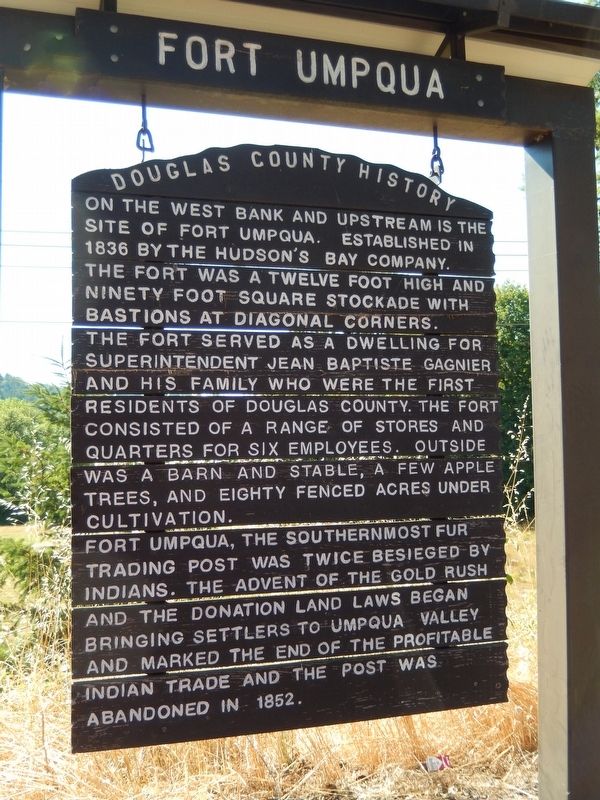
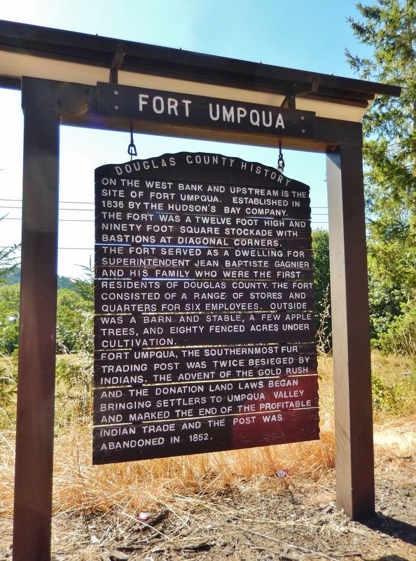
On the west bank and upstream is the site of Fort Umpqua. Established in 1836 by the Hudson’s Bay Company, the fort was a twelve foot high and ninety foot square stockade with bastions at diagonal corners. The fort served as a dwelling for superintendent Jean Baptiste Gagnier and his family who were the first residents of Douglas County. The fort consisted of a range of stores and quarters for six employees. Outside was a barn and stable, a few apple trees, and eighty fenced acres under cultivation.
Fort Umpqua, the southernmost fur trading post was twice besieged by Indians. The advent of the gold rush and the donation land laws began bringing settlers to Umpqua Valley and marked the end of the profitable Indian trade and the post was abandoned in 1852.
Topics. This historical marker is listed in these topic lists: Forts and Castles • Industry & Commerce • Native Americans • Settlements & Settlers. A significant historical year for this entry is 1836.
Location. 43° 37.871′ N, 123° 33.859′ W. Marker is in Elkton, Oregon, in Douglas County. Marker is on Elkton-Sutherlin Highway (Oregon Route 138) south of Mehl Creek Road, on the right when traveling south. Marker is located in a pull-out on the east side of the highway. Touch for map. Marker is in this post office area: Elkton OR 97436, United States of America. Touch for directions.
Also see . . . Second Fort Umpqua.
Another Fort Umpqua was established later, in 1856 at the end of the 1855–1856 Rogue River War. It was located on the north bank of the Umpqua River about two miles from its mouth, near Gardiner, Oregon. Its structures including a blockhouse and barracks was built from salvaged material from Fort Orford. Troops from the District of California continued to be stationed here until conflict with Native American tribes subsided. The fort was abandoned in 1862. The old blockhouse and soldiers' barracks were later moved into town as a memorial. (Submitted on January 28, 2018, by Cosmos Mariner of Cape Canaveral, Florida.)
Credits. This page was last revised on October 31, 2020. It was originally submitted on January 26, 2018, by Cosmos Mariner of Cape Canaveral, Florida. This page has been viewed 381 times since then and 33 times this year. Photos: 1. submitted on January 26, 2018, by Cosmos Mariner of Cape Canaveral, Florida. 2, 3. submitted on January 28, 2018, by Cosmos Mariner of Cape Canaveral, Florida. • Andrew Ruppenstein was the editor who published this page.


