Sheridan-Kalorama in Northwest Washington in Washington, District of Columbia — The American Northeast (Mid-Atlantic)
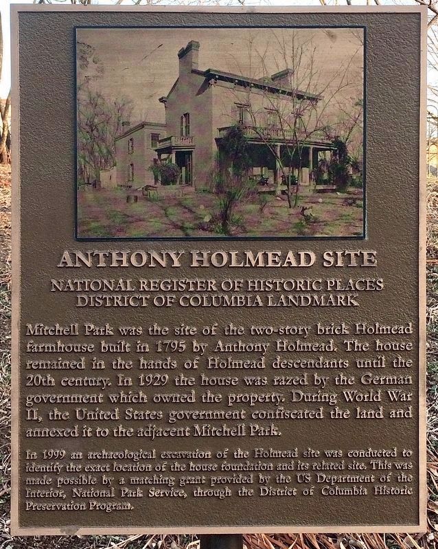
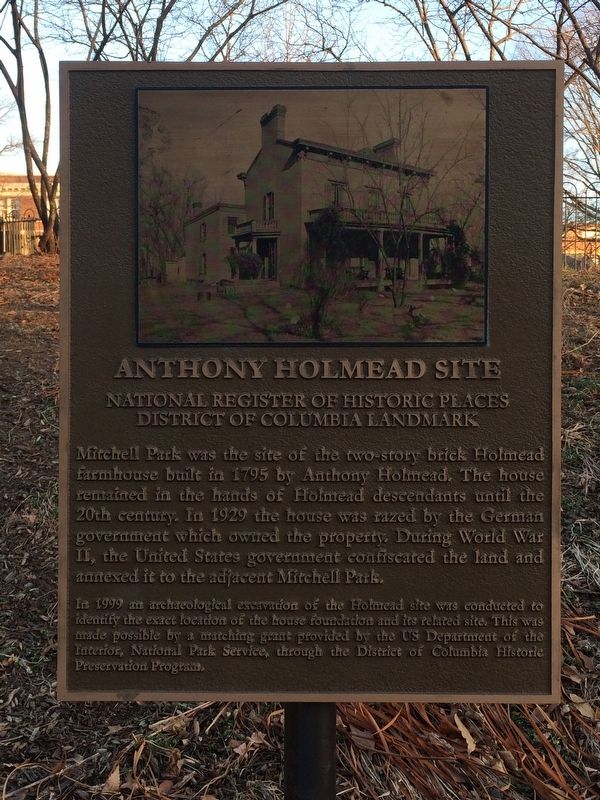
Anthony Holmead Site
National Register of Historic Places
— District of Columbia Landmark —
Mitchell Park was the site of the two-story brick Holmead farmhouse built in 1795 by Anthony Holmead. The house remained in the hands of the Holmead descendants until the 20th century. In 1929 the house was razed by the German government which owned the property. During World War II, the United States government confiscated the land and annexed it to the adjacent Mitchell Park.
In 1999 the archaeological excavation of the Holmead site was conducted to identify the exact location of the house foundation and its related site. This was made possible by a matching grant provided by the US Department of the Interior, National Park Service, through the District of Columbia Historic Preservation Program.
Topics. This historical marker is listed in these topic lists: Anthropology & Archaeology • Architecture • War, World II. A significant historical year for this entry is 1795.
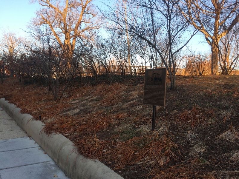
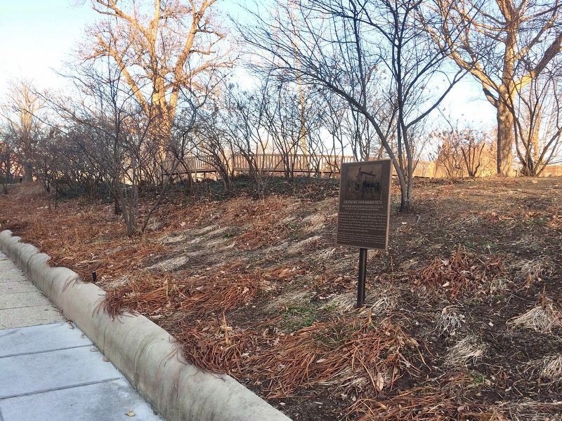
Location. 38° 54.85′ N, 77° 2.967′ W. Marker is in Northwest Washington in Washington, District of Columbia. It is in Sheridan-Kalorama. Marker is at the intersection of S Street Northwest and 22nd Street Northwest, on the right when traveling west on S Street Northwest. On the grounds of Mitchell Park. Touch for map. Marker is at or near this postal address: 2222 S Street Northwest, Washington DC 20008, United States of America. Touch for directions.
Other nearby markers. At least 8 other markers are within walking distance of this marker. History of Sheridan-Kalorama (about 400 feet away, measured in a direct line); Joel Barlow (about 400 feet away); Chief Justice Charles Evans Hughes (about 500 feet away); Khatchkar Sculpture (about 500 feet away); The Arts in Sheridan-Kalorama (about 600 feet away); Alberto Santos-Dumont (about 600 feet away); Woodrow Wilson House (about 600 feet away); Philippine Ambassador's Residence in the United States (about 600 feet away). Touch for a list and map of all markers in Northwest Washington.
Credits. This page was last revised on January 30, 2023. It was originally submitted on January 27, 2018, by Devry Becker Jones of Washington, District of Columbia. This page has been viewed 194 times since then and 13 times this year. Photos: 1. submitted on January 18, 2022. 2, 3. submitted on January 27, 2018, by Devry Becker Jones of Washington, District of Columbia. 4. submitted on January 18, 2022. • Bill Pfingsten was the editor who published this page.


