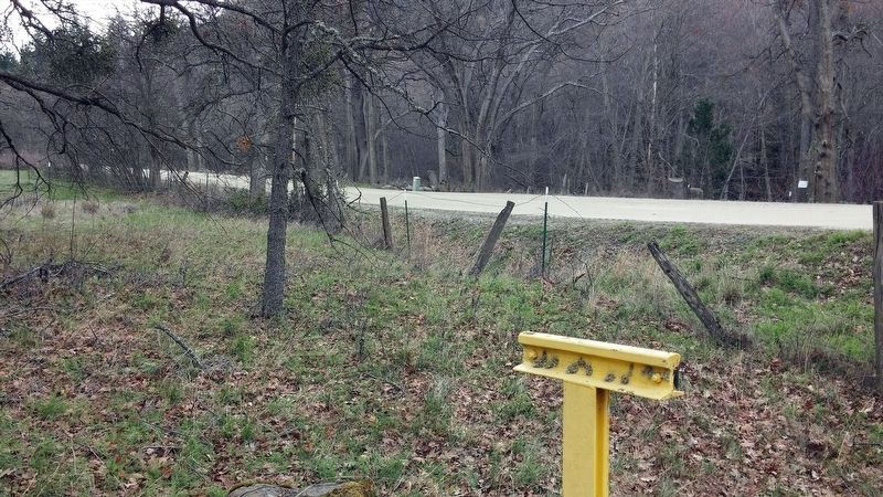
Near Ashland in Jackson County, Oregon — The American West (Northwest)
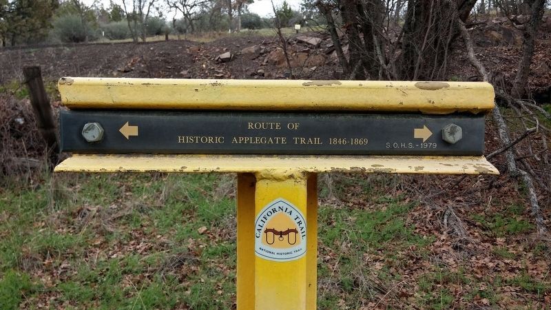
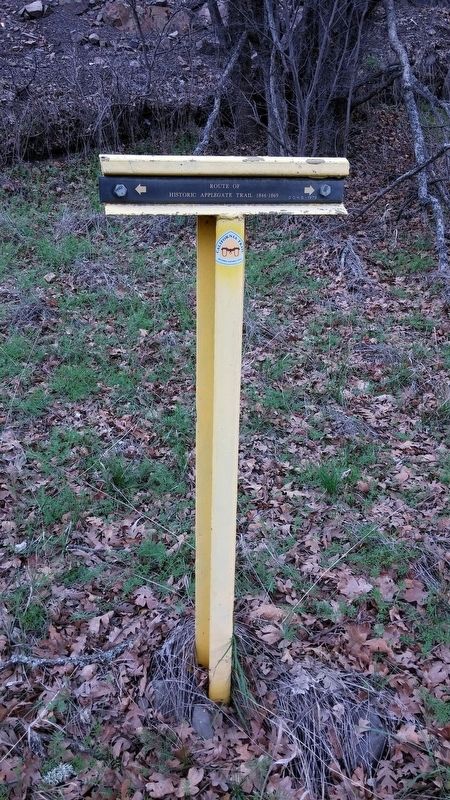
Route of Historic Applegate Trail
1846-1869
Erected 1979 by Southern Oregon Historical Society. (Marker Number A-71.)
Topics and series. This historical marker is listed in this topic list: Exploration. In addition, it is included in the Applegate Trail, and the California Trail series lists. A significant historical year for this entry is 1846.
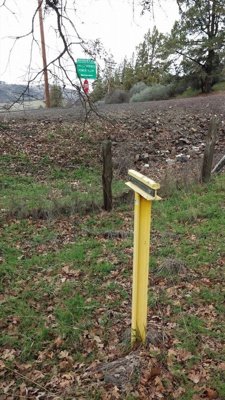
Location. 42° 8.035′ N, 122° 34.131′ W. Marker is near Ashland, Oregon, in Jackson County. Marker is at the intersection of Greensprings Hwy (U.S. 66) and Buckhorn Springs Rd on Greensprings Hwy. Touch for map. Marker is in this post office area: Ashland OR 97520, United States of America. Touch for directions.
Other nearby markers. At least 8 other markers are within 5 miles of this marker, measured as the crow flies. Route of (approx. 1.7 miles away); Siskiyou Mountain Wagon Road (approx. 2.1 miles away); Barrow Station (approx. 2.2 miles away); Route of Historical Applegate Trail (approx. 3.2 miles away); a different marker also named Siskiyou Mountain Wagon Road (approx. 3.7 miles away); Keene Creek Wagon Slide (approx. 4.7 miles away); Historic Applegate Trail 1846 - 1869 (approx. 4.7 miles away); a different marker also named Siskiyou Mountain Wagon Road (approx. 4.9 miles away). Touch for a list and map of all markers in Ashland.
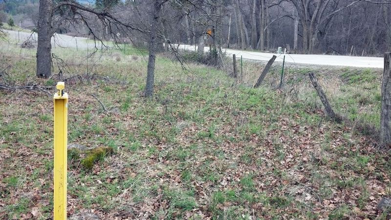
Regarding Route of Historic Applegate Trail. This marker was placed by the Southern Oregon Historical Society. A large section of Buckhorn Springs Rd as well as a small sections of Hwy 66 made up part of the Applegate Trail. There is a creek that flows along Buckhorn Springs Rd known as 'Emigrant Creek' as well as a nearby reservoir known as 'Emigrant Lake' that are named after this historic wagon route.
There are numerous websites devoted to the history of the Applegate Trail. My favorite is the Trails West, Inc. organization run by a group of volunteers and sells books on numerous emigrant trails of the West Coast. There is a photo tour of the Applegate Trail on the Trails West Inc. website that contains photos of many historical 'T' markers made of railroad ties that are sporadically placed along the trail route.
Also see . . . Jackson County Historical Markers placed by SOHS. This marker is one of a number of historical 'T' markers monumented in the 1970s and 1980s by the Southern Oregon Historical Society and also available for viewing on an interactive map (link above) (Submitted on May 28, 2019, by Douglass Halvorsen of Klamath Falls, Oregon.)
Credits. This page was last revised on May 29, 2019. It was originally submitted on January 28, 2018, by Douglass Halvorsen of Klamath Falls, Oregon. This page has been viewed 300 times since then and 17 times this year. Last updated on February 5, 2018, by Douglass Halvorsen of Klamath Falls, Oregon. Photos: 1, 2, 3, 4, 5. submitted on January 28, 2018, by Douglass Halvorsen of Klamath Falls, Oregon. • Bill Pfingsten was the editor who published this page.
