Navy Yard in Southeast Washington in Washington, District of Columbia — The American Northeast (Mid-Atlantic)
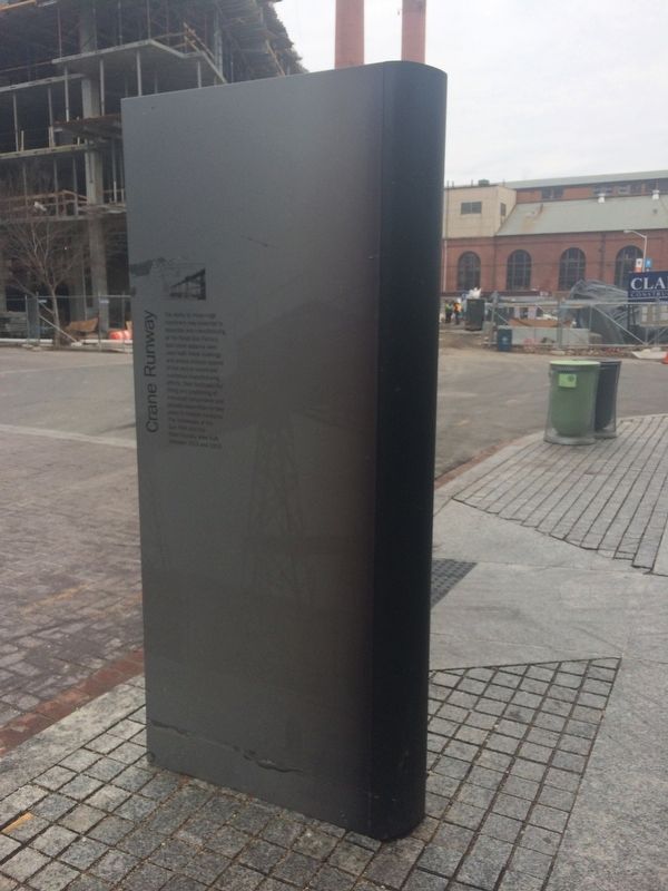
Crane Runway
Topics. This historical marker is listed in this topic list: Industry & Commerce. A significant historical year for this entry is 1912.
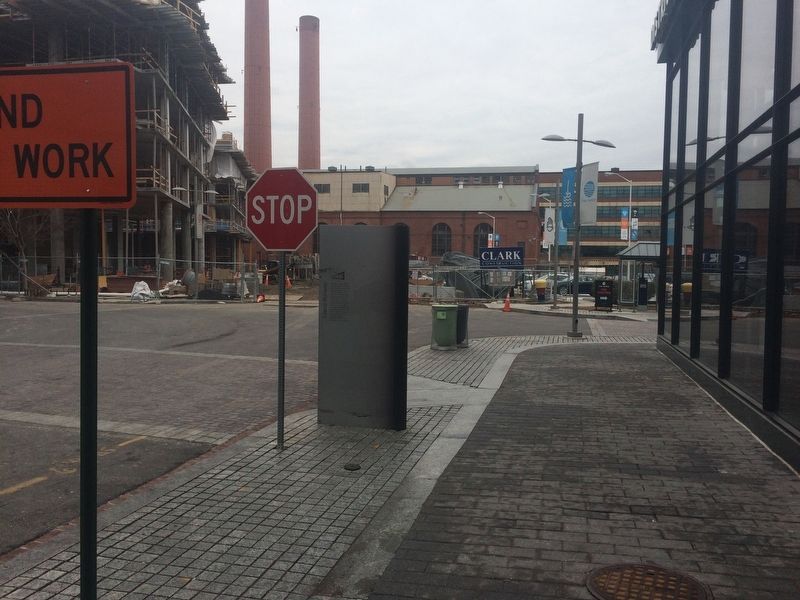
Location. 38° 52.433′ N, 77° 0.041′ W. Marker is in Southeast Washington in Washington, District of Columbia. It is in Navy Yard. Marker is on Water Street Southeast near 4th Street Southeast, on the left when traveling east. Touch for map. Marker is at or near this postal address: 1331 4th Street Southeast, Washington DC 20003, United States of America. Touch for directions.
Other nearby markers. At least 8 other markers are within walking distance of this marker. Boiler House (within shouting distance of this marker); The Lumber Shed Building (within shouting distance of this marker); Lumber Shed - Movement of Materials (within shouting distance of this marker); Radio Towers (about 300 feet away, measured in a direct line); Lumber Shed - Form and Function (about 300 feet away); River Revival (about 400 feet away); The River in Focus (about 400 feet away); Mildred Belle (about 400 feet away). Touch for a list and map of all markers in Southeast Washington.
Credits. This page was last revised on January 30, 2023. It was originally submitted on February 6, 2018, by Devry Becker Jones of Washington, District of Columbia. This page has been viewed 175 times since then and 13 times this year. Photos: 1, 2, 3. submitted on February 6, 2018, by Devry Becker Jones of Washington, District of Columbia. • Bill Pfingsten was the editor who published this page.


