Summer Lake in Lake County, Oregon — The American West (Northwest)
Fremont Arrives
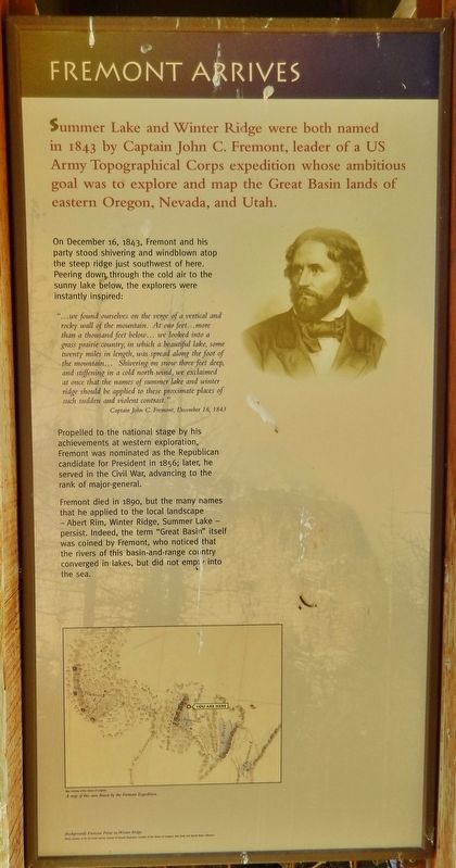
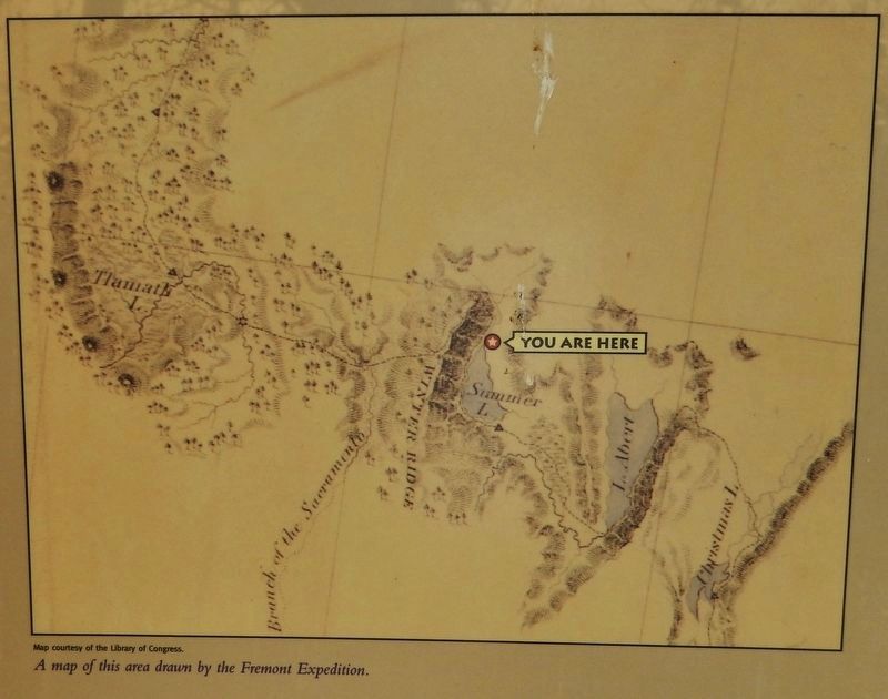
Summer Lake and Winter Ridge were both named in 1843 by Captain John C. Fremont, leader of a US Army Topographical Corps expedition whose ambitious goal was to explore and map the Great Basin lands of eastern Oregon, Nevada, and Utah.
On December 16, 1843, Fremont and his party stood shivering and windblown atop the steep ridge just southwest of here. Peering down, through the cold air to the sunny lake below, the explorers were instantly inspired:
"...we found ourselves on the verge of a vertical and rocky wall of the mountain. At our feet… more than a thousand feet below… we looked into a grass prairie country, in which a beautiful lake, some twenty miles in length, was spread along the foot of the mountain… Shivering on snow three feet deep, and stiffening in a cold north wind, we exclaimed at once that the names of summer lake and winter ridge should be applied to these proximate places of such sudden and violent contrast."
Captain John C. Fremont, December 16, 1843
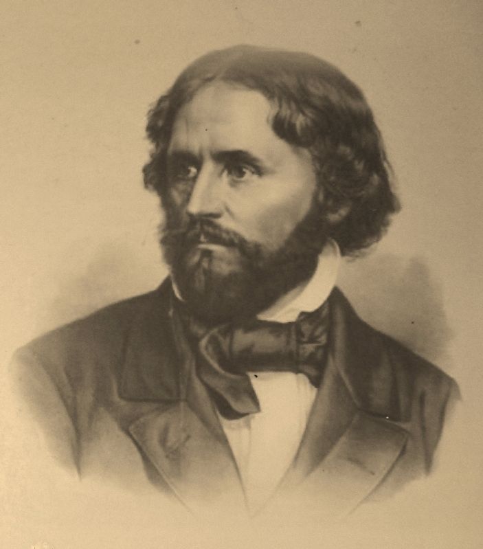
Propelled to the national stage by his achievements at western exploration, Fremont was nominated as the Republican candidate for President in 1856; later, he served in the Civil War, advancing to the rank of major-general.
Fremont died in 1890, but the many names that he applied to the local landscape – Abert Rim, Winter Ridge, Summer Lake – persist. Indeed, the term "Great Basin" itself was coined by Fremont, who noticed that the rivers of this basin-and-range country converged in lakes, but did not empty into the sea.
Topics. This historical marker is listed in these topic lists: Exploration • Government & Politics • War, US Civil. A significant historical date for this entry is December 16, 1843.
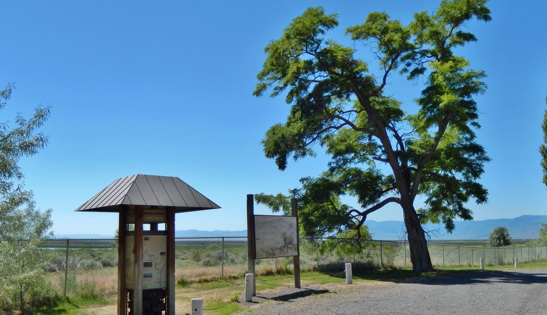
Location. 42° 58.33′ N, 120° 46.653′ W. Marker is in Summer Lake, Oregon, in Lake County. Marker can be reached from Fremont Highway (Oregon Route 31) south of Thousand Springs Lane (County Highway 4-17), on the right when traveling north. Marker located in the Summer Lake Rest Area. Touch for map. Marker is at or near this postal address: 54198 Fremont Highway, Summer Lake OR 97640, United States of America. Touch for directions.
Other nearby markers. At least 1 other marker is within walking distance of this marker. Fremont Memorial (within shouting distance of this marker).
Also see . . .
1. John C. Frémont, American explorer, military officer, and politician. In 1842, as emigration to the Oregon country in the Pacific Northwest was growing dramatically in importance for the nation, the War Department sent Frémont on an expedition to survey the route west from the Mississippi River to the Wyoming region. While in the Wind River Range there, he scaled the mountain that now bears his name (Fremont Peak). In 1843, accompanied by the colorful guide Kit Carson and mountain man Thomas Fitzpatrick, he completed an even more important survey to the mouth of the Columbia River. (Submitted on February 7, 2018, by Cosmos Mariner of Cape Canaveral, Florida.)
2. Fremont names the Golden Gate Bridge. On July 1, 1846, two years before the discovery of gold in California U.S. Army Captain John C. Fremont gazed at the narrow strait that separates the Bay for the Pacific Ocean, and said “it is a golden gate to trade with the Orient.” The name first appeared in his Geographical Memoir, submitted to the U.S. Senate on June 5, 1848, when he wrote, “to this Gate I gave the name of “Chrysopylae” or “Golden Gate” for the same reasons that the harbor of Byzantium was called Chrysoceras, or Golden Horn.” (Submitted on February 7, 2018, by Cosmos Mariner of Cape Canaveral, Florida.)
Credits. This page was last revised on October 19, 2020. It was originally submitted on February 7, 2018, by Cosmos Mariner of Cape Canaveral, Florida. This page has been viewed 275 times since then and 20 times this year. Photos: 1, 2, 3, 4. submitted on February 7, 2018, by Cosmos Mariner of Cape Canaveral, Florida. • Bernard Fisher was the editor who published this page.


