Astoria in Clatsop County, Oregon — The American West (Northwest)
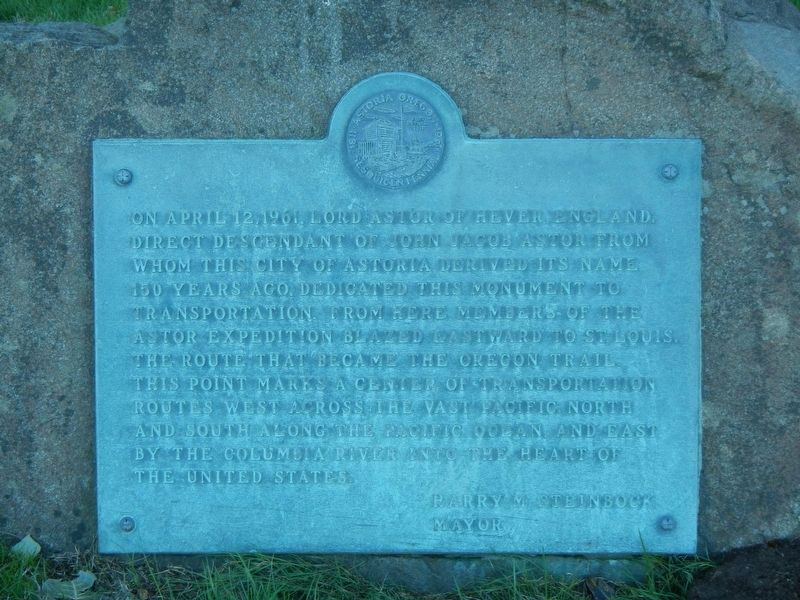
Astoria Sesquicentennial
Harry M. Steinbock, Mayor
Erected by City of Astoria.
Topics. This historical marker is listed in this topic list: Settlements & Settlers. A significant historical date for this entry is April 12, 1961.
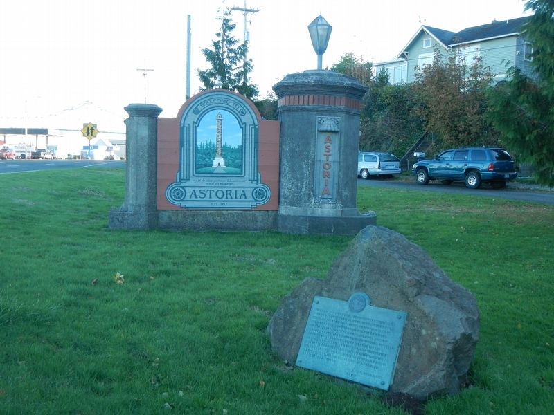
Location. 46° 11.064′ N, 123° 51.552′ W. Marker is in Astoria, Oregon, in Clatsop County. Marker is at the intersection of West Marine Drive (U.S. 101) and Taylor Street on West Marine Drive. Touch for map. Marker is at or near this postal address: 499 West Marine Drive, Astoria OR 97103, United States of America. Touch for directions.
Other nearby markers. At least 8 other markers are within 2 miles of this marker, measured as the crow flies. Uniontown Curfew Bell (approx. half a mile away); Ghadar Party (approx. 0.6 miles away); Soldiers Monument (approx. 0.6 miles away); The Butterfly Fleet (approx. 0.7 miles away); Site of Astoria's First Electric Generating Station (approx. 0.9 miles away); Astoria & Warrenton (approx. 1.2 miles away); Captain Flavel Trees (approx. 1.2 miles away); Captain George Flavel Mansion (approx. 1.2 miles away). Touch for a list and map of all markers in Astoria.
Credits. This page was last revised on May 7, 2020. It was originally submitted on February 7, 2018, by Barry Swackhamer of Brentwood, California. This page has been viewed 288 times since then and 21 times this year. Last updated on May 6, 2020, by Douglass Halvorsen of Klamath Falls, Oregon. Photos: 1, 2. submitted on February 7, 2018, by Barry Swackhamer of Brentwood, California. • Syd Whittle was the editor who published this page.

