Near Corbett in Multnomah County, Oregon — The American West (Northwest)
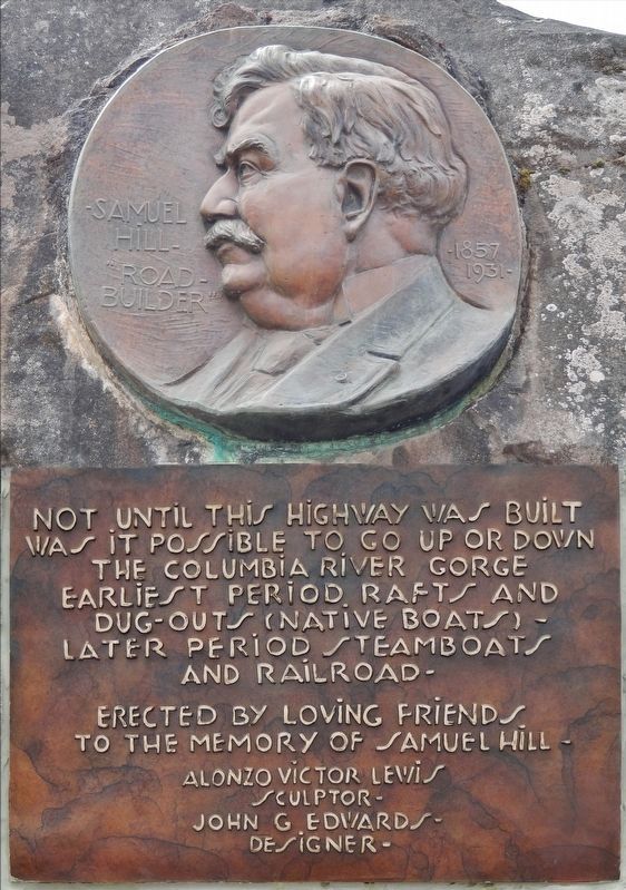
Samuel Hill – “Road Builder”
1857 – 1931
Inscription.
Not until this highway was built
was it possible to go up or down
the Columbia River Gorge -
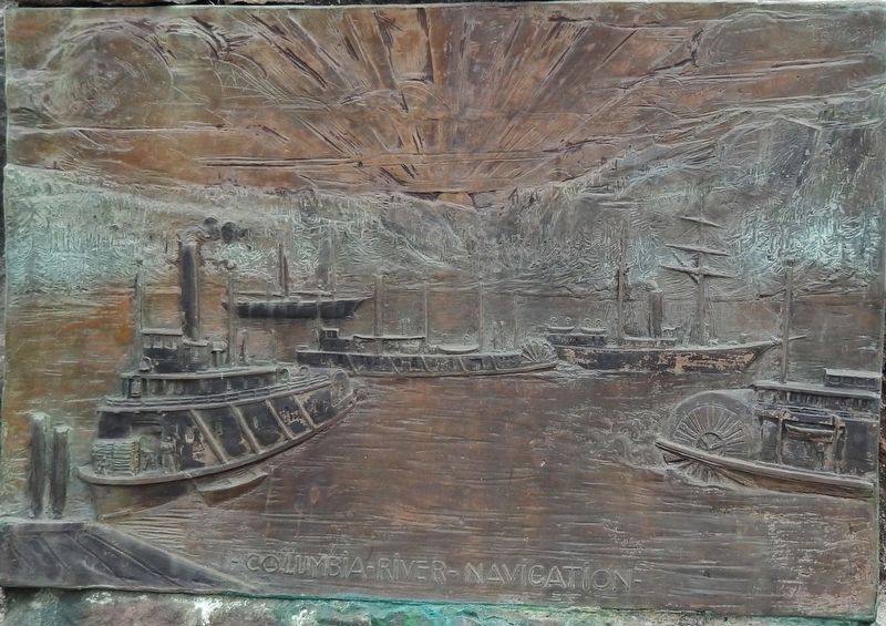
Earliest period rafts and
dug-outs (native boats) –
Later period steamboats
and railroad –
Erected by loving friends
to the memory of Samuel Hill –
Alonzo Victor Lewis
sculptor
John G. Edwards
designer
Topics. This historical marker is listed in this topic list: Roads & Vehicles.
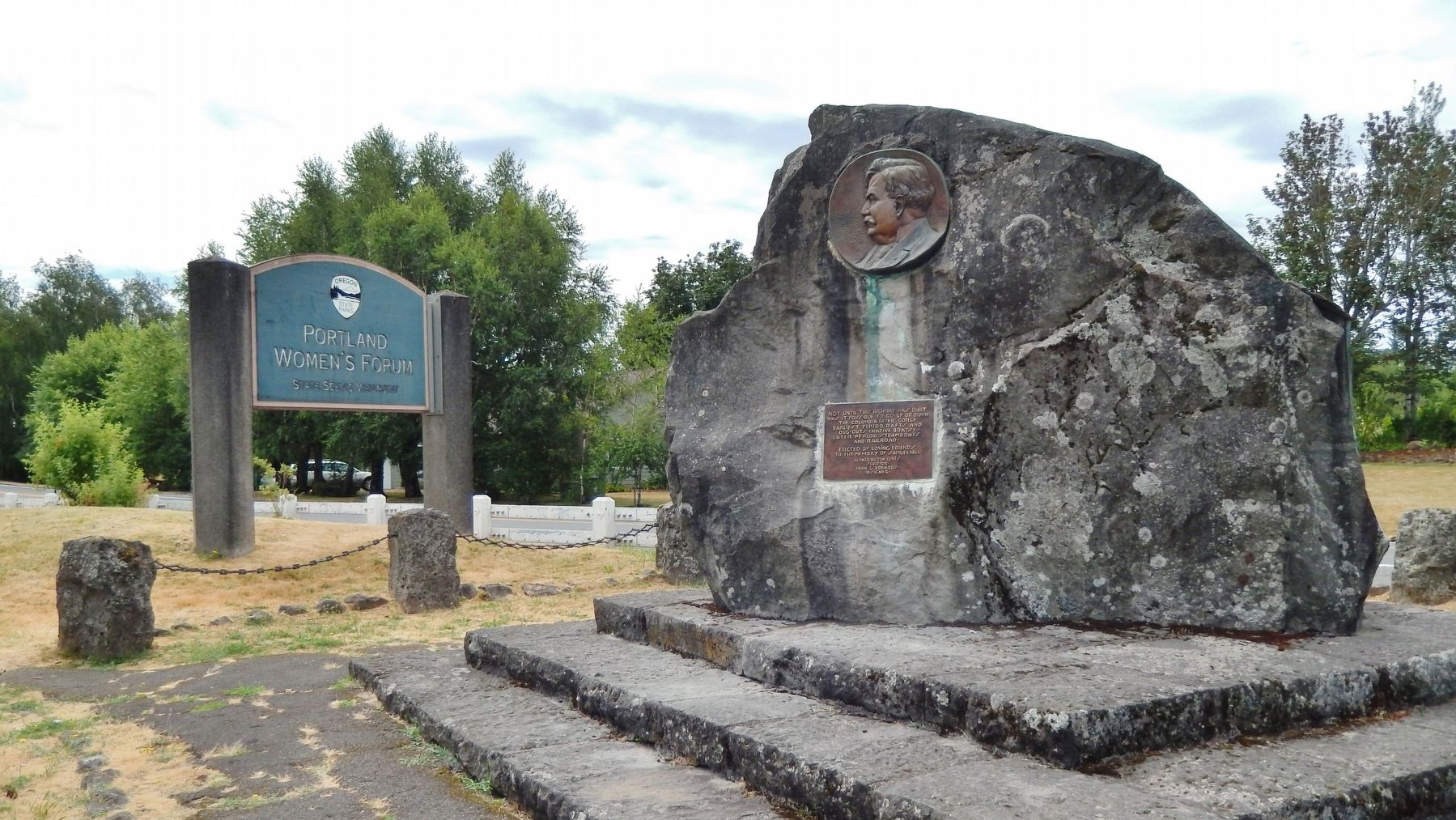
Location. 45° 31.999′ N, 122° 15.62′ W. Marker is near Corbett, Oregon, in Multnomah County. Marker is on Historic Columbia River Highway west of East Knieriem Road, on the right when traveling west. Marker is located on the north side of the highway, at the entrance to the Portland Women's Forum Scenic State Viewpoint. Touch for map. Marker is at or near this postal address: 39210 Historic Columbia River Highway, Corbett OR 97019, United States of America. Touch for directions.
Other nearby markers. At least 8 other markers are within 2 miles of this marker, measured as the crow flies. Chanticleer Point (within shouting distance of this marker); a different marker also named Chanticleer Point (about 500 feet away, measured in a direct line); Vista House (approx. 0.9 miles away); Marshall N. Dana (approx. 0.9 miles away); Samuel C. Lancaster (approx. 0.9 miles away); Broughton’s Expedition (approx. one mile away); Camping Among the Giants (approx. 1˝ miles away); Rooster Rock State Park (approx. 1˝ miles away). Touch for a list and map of all markers in Corbett.
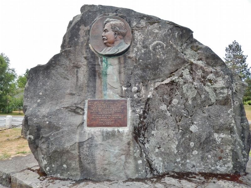
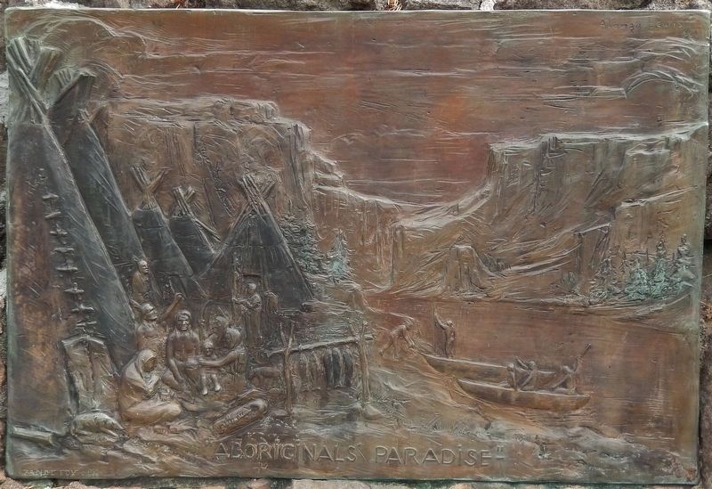
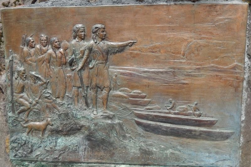
More about this marker. Marker consists of a bas-relief sculpture of Samuel Hill and a metal plaque, mounted on a large boulder in a small plaza beside the highway
Related markers. Click here for a list of markers that are related to this marker.
Also see . . .
1. Hill, Samuel (1857-1931).
Samuel Hill made the Northwest his home for a little more than 30 years, leaving a legacy of philanthropy, monuments, and highways still visible in the twenty-first century. He made a small fortune in utilities and investments and spent most of it on other people, on causes and programs he believed in, and in traveling the world to promote peaceful trade and prosperity. His most notable achievement was the establishment of the Maryhill Museum of Art overlooking the Columbia River near Goldendale, Washington. (Submitted on February 13, 2018, by Cosmos Mariner of Cape Canaveral, Florida.)
2. Notable Oregonians: Samuel Hill - Good Roads Pioneer.
Hill spent much of his life applying his prodigious energy and talent to his vision for a better society, particularly through advocating for good roads in Oregon and Washington. Challenging the general belief that the rugged landscape was not suited for a highway, he launched a public relations campaign calling for a paved road through the Columbia River Gorge. In 1907, he purchased 6,000 acres about 100 miles east of Portland and began building a community called Maryhill. He even built, at his own expense, ten miles of demonstration road there to experiment with road building techniques and surfaces. It was the first macadam asphalt-paved road in the Pacific Northwest. (Submitted on February 13, 2018, by Cosmos Mariner of Cape Canaveral, Florida.)
Credits. This page was last revised on October 20, 2020. It was originally submitted on February 13, 2018, by Cosmos Mariner of Cape Canaveral, Florida. This page has been viewed 423 times since then and 42 times this year. Photos: 1, 2, 3, 4, 5, 6. submitted on February 13, 2018, by Cosmos Mariner of Cape Canaveral, Florida. • Andrew Ruppenstein was the editor who published this page.
