Umatilla in Umatilla County, Oregon — The American West (Northwest)
Patímaša Tiičámna
They are Marking the Land
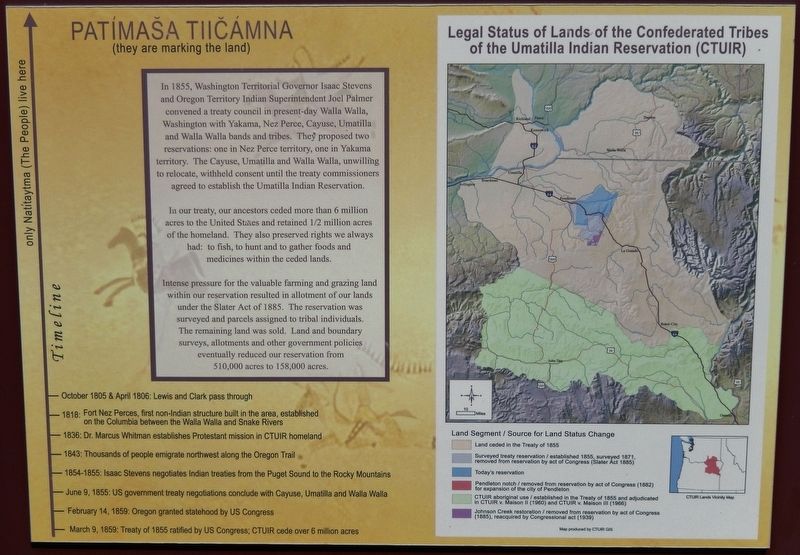
In 1855, Washington Territorial Governor Isaac Stevens and Oregon Territory Indian Superintendent Joel Palmer convened a treaty council in present-day Walla Walla, Washington with Yakama, Nez Perce, Cayuse, Umatilla and Walla Walla bands and tribes. They proposed two reservations: one in Nez Perce territory, one in Yakama territory. The Cayuse, Umatilla and Walla Walla, unwilling to relocate, withheld consent until the treaty commissioners agreed to establish the Umatilla Indian Reservation.
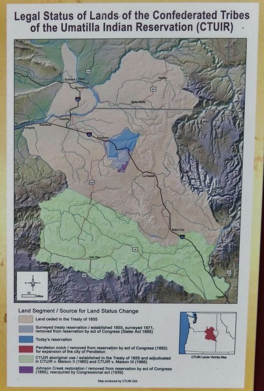
In our treaty, our ancestors ceded more than 6 million acres to the United States and retained 1/2 million acres of the homeland. They also preserved rights we always had: to fish, to hunt and to gather foods and medicines within the ceded lands.
Intense pressure for the valuable farming and grazing land within our reservation resulted in allotment of our lands under the Slater Act of 1885. The reservation was surveyed and parcels assigned to tribal individuals. The remaining land was sold. Land and boundary surveys, allotments and other government policies eventually reduced our reservation from 510,000 acres to 158,000 acres.
Timeline
October 1805 & April 1806: Lewis and Clark pass through
1818: Fort Nez Perces, first non-Indian structure built in the area,
established on the Columbia between the Walla Walla and Snake Rivers
1836: Dr. Marcus Whitman establishes Protestant mission in CTUIR homeland
1843: Thousands of people emigrate northwest along the Oregon Trail
1854-1855: Isaac Stevens negotiates Indian treaties from the Puget Sound to the Rocky Mountains
June 9, 1855: US government treaty negotiations conclude with Cayuse, Umatilla and Walla Walla
February 14, 1859: Oregon granted statehood by US Congress
March 9, 1859: Treaty of 1855 ratified by US Congress; CTUIR cede over 6 million acres
Topics and series. This historical marker is listed in these topic lists: Exploration • Native Americans • Settlements & Settlers. In addition, it is included in the Lewis & Clark Expedition series list.
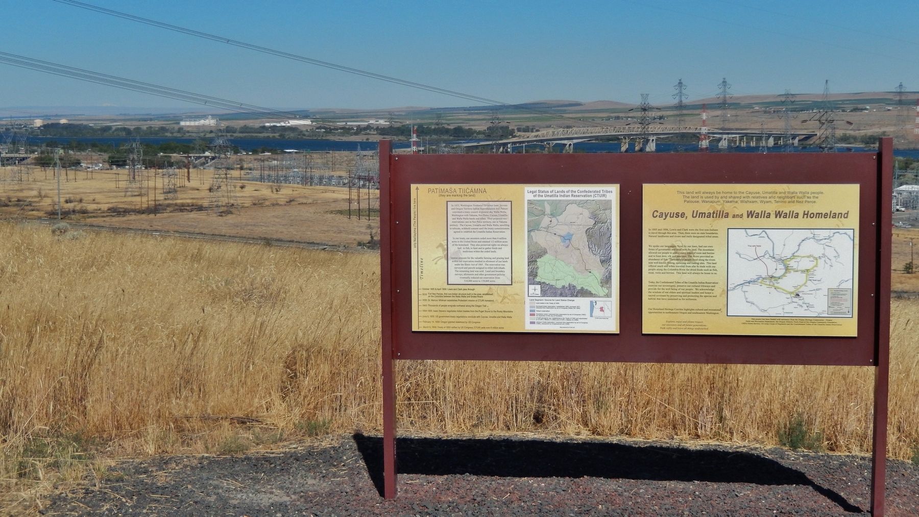
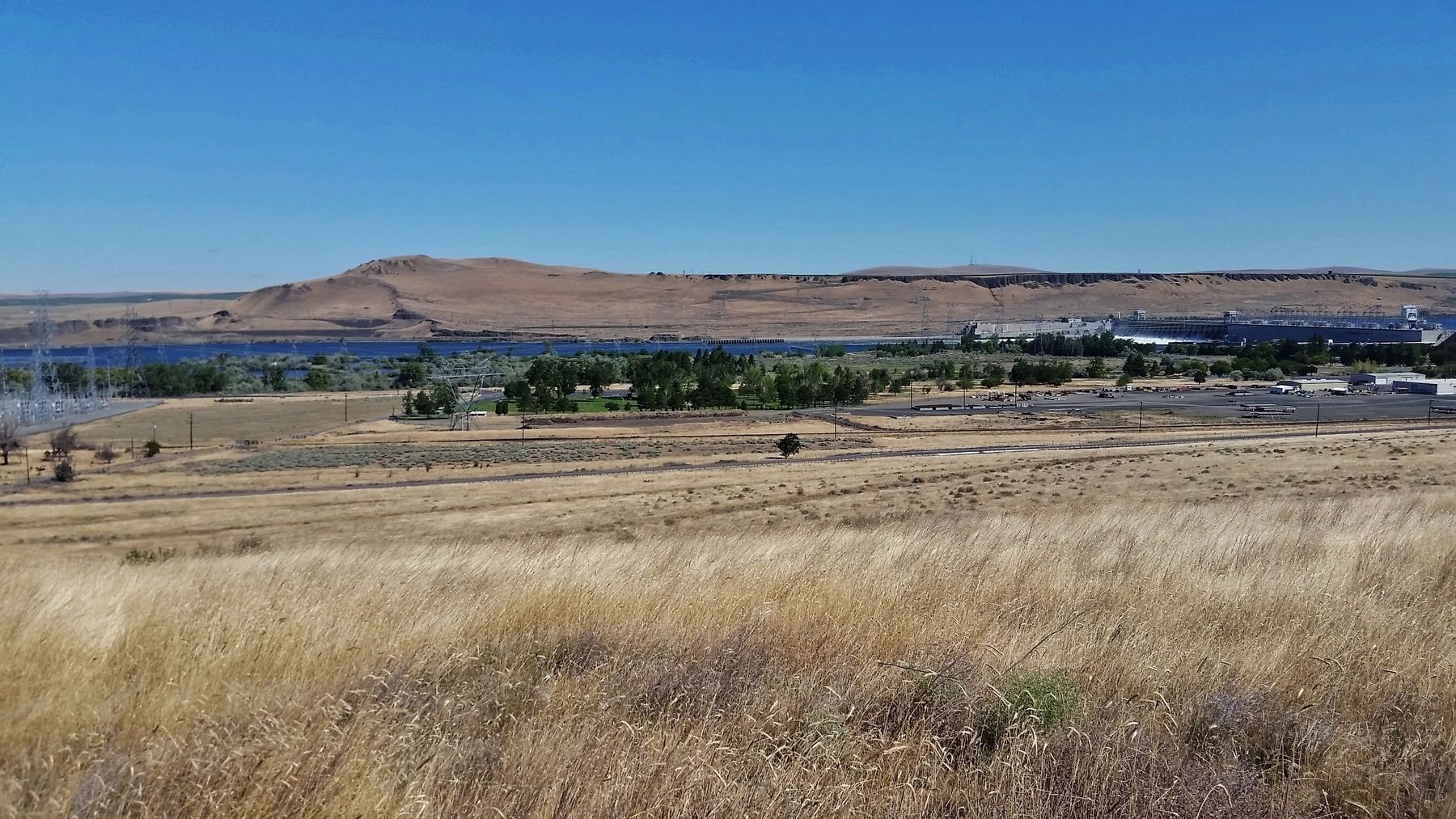
Location. 45° 55.206′ N, 119° 18.3′ W. Marker is in Umatilla, Oregon, in Umatilla County. Marker is on Devore Road north of 6th Street (U.S. 730), on the left when traveling north. Marker is located in a pull-out and interpretive plaza on the north side of the road, overlooking the Columbia River, McNary Dam, and Lake Wallula. Touch for map. Marker is in this post office area: Umatilla OR 97882, United States of America. Touch for directions.
Other nearby markers. At least 8 other markers are within 7 miles of this marker, measured as the crow flies. Cayuse, Umatilla and Walla Walla Homeland (here, next to this
marker); The Lewis and Clark Expedition (a few steps from this marker); The Umatilla Rapids (a few steps from this marker); Strangers "from the clouds" (approx. 2.4 miles away in Washington); How Do You Make a Hat? (approx. 6˝ miles away); Naamí Tiičám Ku Waqíšwit (approx. 6.6 miles away); A Team of Discovery (approx. 6.6 miles away); It's All Downhill From Here (approx. 6.6 miles away). Touch for a list and map of all markers in Umatilla.
Related markers. Click here for a list of markers that are related to this marker. Confederated Tribes of the Umatilla Indian Reservation
Also see . . . Confederated Tribes of the Umatilla Indian Reservation.
After ceding their territories, the Umatilla, Walla Walla, and Cayuse relocated to what was called the Confederated Tribes of the Umatilla American Indian Reservation (CTUIR). In exchange for ceding most of their territories they received supplies and annuities from the federal government. In 1887, under the Allotment Act, communal land was distributed to households. This and other legislation made it possible for the members to sell their lands but they were preyed on by speculators and swindlers.
In the 20th century, the tribe pursued a major land claim case against the federal government, saying that the three tribes had traditionally controlled one million more acres of land than they had been compensated for following the 1855 treaty. The Indian Claims Commission awarded the confederated tribes several million dollars in a negotiated settlement. (Submitted on February 15, 2018, by Cosmos Mariner of Cape Canaveral, Florida.)
Credits. This page was last revised on November 4, 2020. It was originally submitted on February 14, 2018, by Cosmos Mariner of Cape Canaveral, Florida. This page has been viewed 289 times since then and 11 times this year. Photos: 1. submitted on February 14, 2018, by Cosmos Mariner of Cape Canaveral, Florida. 2, 3, 4. submitted on February 15, 2018, by Cosmos Mariner of Cape Canaveral, Florida. • Bill Pfingsten was the editor who published this page.


