Coos Bay in Coos County, Oregon — The American West (Northwest)
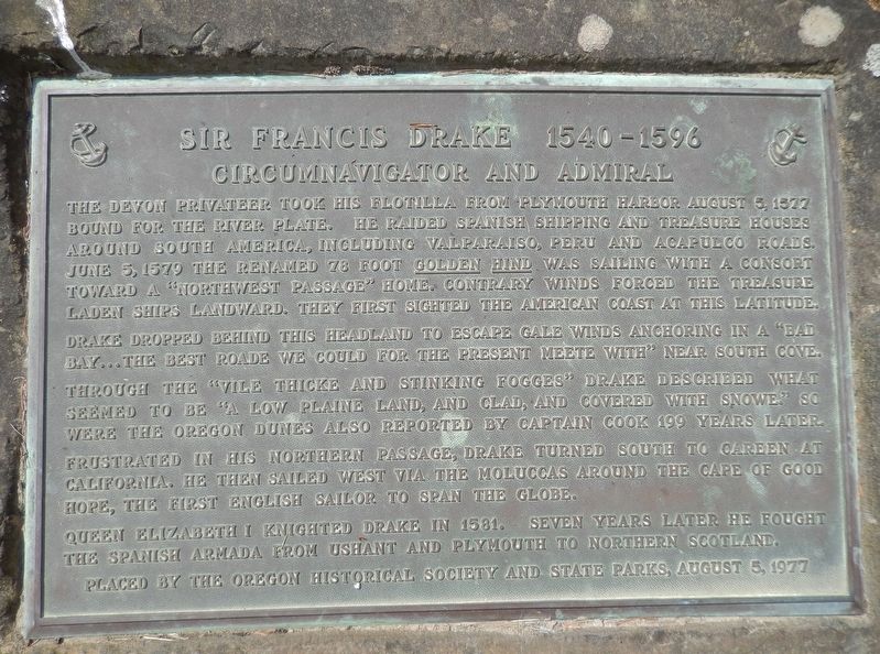
Sir Francis Drake 1540-1596
Circumnavigator and Admiral
The Devon privateer took his flotilla from Plymouth Harbor August 5, 1577 bound for the River Plate. He raided Spanish shipping and treasure houses around South America, including Valparaiso, Peru and Acapulco roads. June 5, 1579 the renamed 78 foot Golden Hind was sailing with a consort toward a “Northwest Passage” home. Contrary winds forced the treasure laden ships landward. They first sighted the American coast at this latitude.
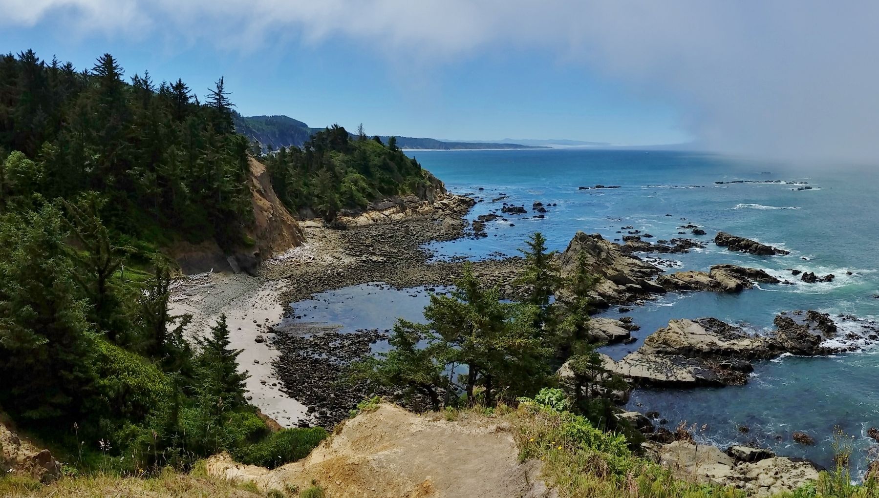
Drake dropped behind this headland to escape gale winds anchoring in a “Bad Bay… the best roade we could for the present meete with” near South Cove. Through the “vile thicke and stinking fogges” Drake described what seemed to be “a low plaine land, and clad, and covered with snowe.” So were the Oregon dunes also reported by Captain Cook 199 years later.
Frustrated in his northern passage, Drake turned south to careen at California. He then sailed west via the Moluccas around the Cape of Good Hope, the first English sailor to span the globe.
Queen Elizabeth I knighted Drake in 1581. Seven years later he fought the Spanish Armada from Ushant and Plymouth to Northern Scotland.
Erected 1977 by Oregon Historical Society & Oregon State Parks.
Topics. This historical marker is listed in these topic lists: Exploration • Waterways & Vessels.
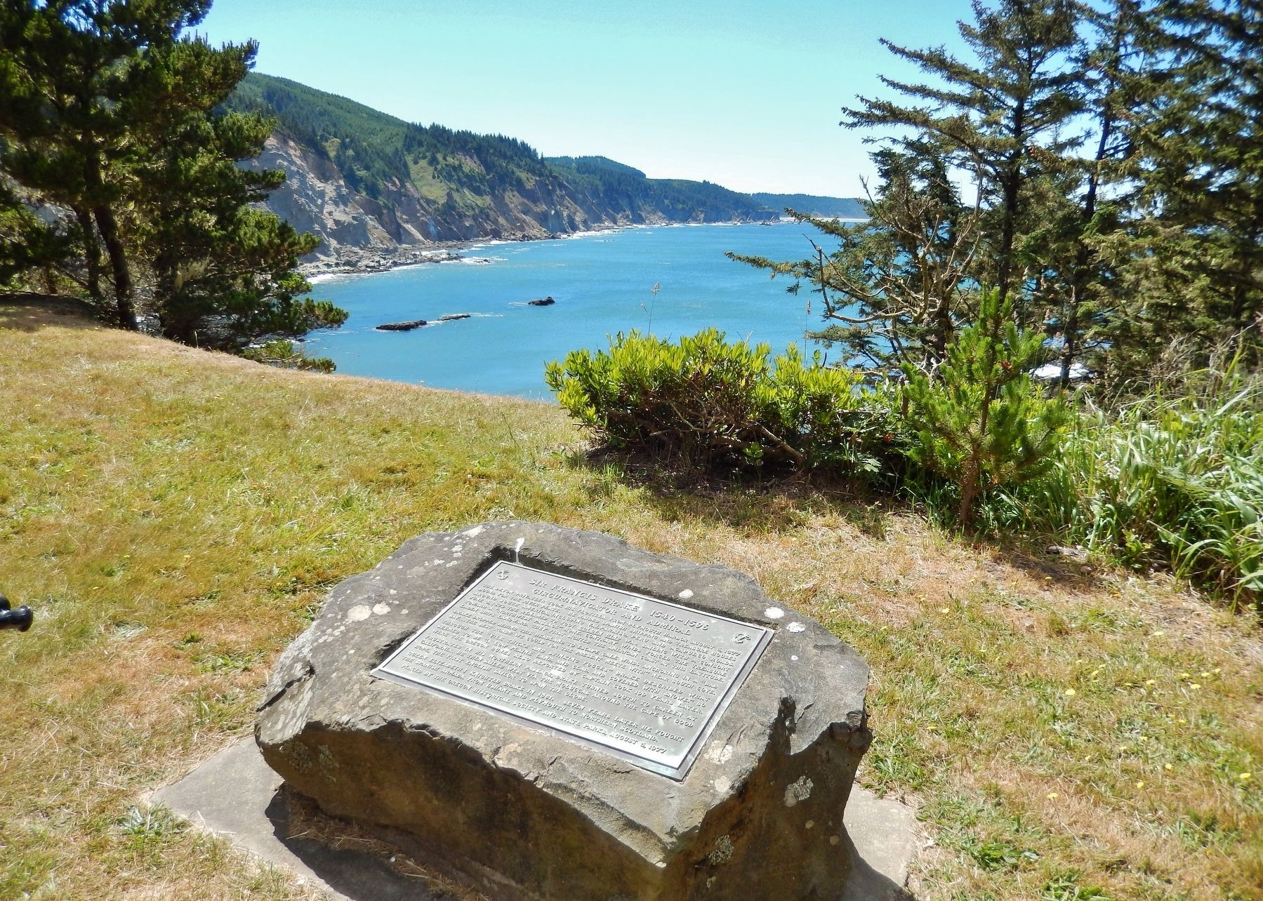
Location. 43° 18.257′ N, 124° 23.95′ W. Marker is in Coos Bay, Oregon, in Coos County. Marker can be reached from Cape Arago Highway, 5 miles west of Seven Devils Road. Marker is located within Cape Arago State Park, near the south-most parking lot, overlooking Drake Point and the South Cove. Touch for map. Marker is in this post office area: Coos Bay OR 97420, United States of America. Touch for directions.
Other nearby markers. At least 8 other markers are within 11 miles of this marker, measured as the crow flies. To Commemorate Camp Cast-A-Way (approx. 7.9 miles away); Coos Bay Waters to Coquille Waters Trail (approx. 9.4 miles away); Steam Engine No. 104 (approx. 10.2 miles away); Caboose No. 1134 (approx. 10.2 miles away); Caboose No. 11269 (approx. 10.2 miles away); Welcome to the Oregon Coast (approx. 10.4 miles away); Steve Roland Prefontaine (approx. 10.4 miles away); Transportation (approx. 10.4 miles away). Touch for a list and map of all markers in Coos Bay.
More about this marker. Marker is a large metal tablet mounted on a short rock pedestal.
Also see . . .
1. Francis Drake Circumnavigates the Globe. History website entry:
After plundering Spanish ports along the west
coast of South America, Drake headed north in search of a passage back to the Atlantic. He claimed to have traveled as far north as 48° N (on parallel with Vancouver, Canada) before extreme cold conditions turned him back. Drake anchored near today’s San Francisco and claimed the surrounding land, which he called New Albion, for Queen Elizabeth. (Submitted on February 20, 2018, by Cosmos Mariner of Cape Canaveral, Florida.)
2. Cape Arago State Park History. Oregon State parks website entry:
In the 1970s, a theory was posed that English privateer and explorer Sir Francis Drake anchored in the south cove of Cape Arago in June 1579. Followers of this theory believe Drake mistook the dune area between the Coos and Siuslaw Rivers for low, snow-covered hills and sailed down the coast to California, having abandoned hope of discovering a northwest passage back to England. A monument to Drake was placed in the park in 1977. (Submitted on February 20, 2018, by Cosmos Mariner of Cape Canaveral, Florida.)

Photographed By Cosmos Mariner, June 25, 2015
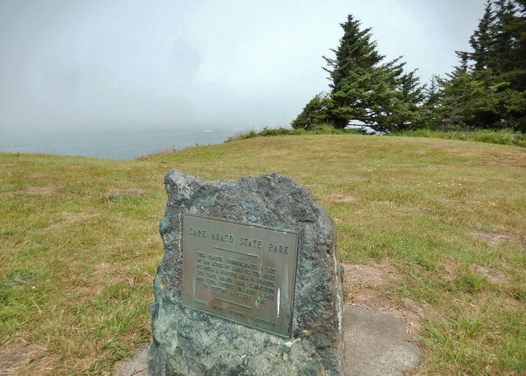
4. Cape Arago State Park Dedication (near marker)
This plaque commemorates a gift
of 134 acres of land to the State
by Louis J. Simpson, Lela G. Simpson,
the Cape Arago Park Commission
and Coos County on June 1, 1932
to provide a public Park.
Oregon State Highway Commission
Credits. This page was last revised on September 25, 2021. It was originally submitted on February 20, 2018, by Cosmos Mariner of Cape Canaveral, Florida. This page has been viewed 1,211 times since then and 174 times this year. Photos: 1, 2, 3, 4. submitted on February 20, 2018, by Cosmos Mariner of Cape Canaveral, Florida. • Andrew Ruppenstein was the editor who published this page.


