Martinez in Columbia County, Georgia — The American South (South Atlantic)
The Fall Line and Headgates
The Augusta Canal
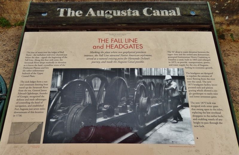
Marking the place where two geophysical provinces intersect, the Fall Line attracted Native American settlement, served as a natural crossing point for Hernando DeSoto's journey, and made the Augusta Canal possible.
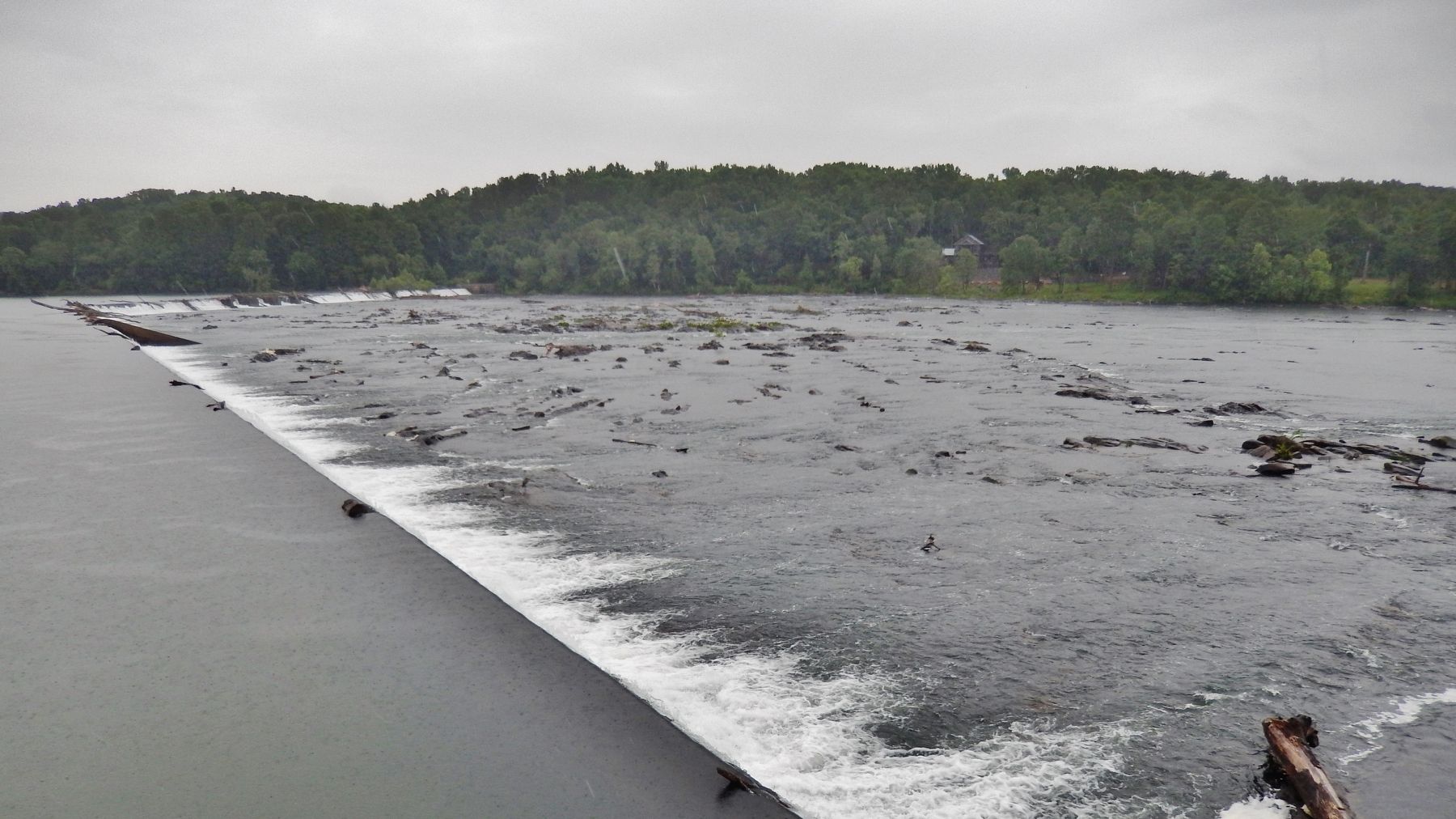
The roar of water over the ledges of Bull Sluice – the turbulent mid-river channel just below the dam – signals the beginning of the Fall Line. Along this four mile zone, the Savannah River drops markedly in elevation as it leaves the hard, crystalline strata of the Piedmont Plateau and hits the softer sedimentary bedrock of the Upper Coastal Plain.
The rock ledges form a natural constraint limiting boat travel up the Savannah River from the sea. General James Edward Oglethorpe, founder of Georgia, recognized the defense and trade advantages of controlling the head of navigation, and established Fort Augusta just seven miles downstream of this location in 1736.
The 52' drop in water elevation between the upper river and the settled area downstream prompted businessman Henry Cumming to visualize a canal, built in 1845 and enlarged in 1875, to provide transportation, power, and water supply for the city of Augusta, fueling its economic growth.
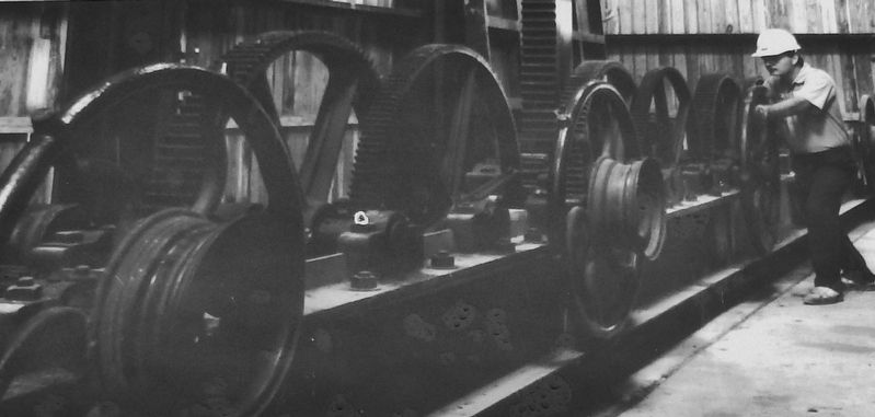
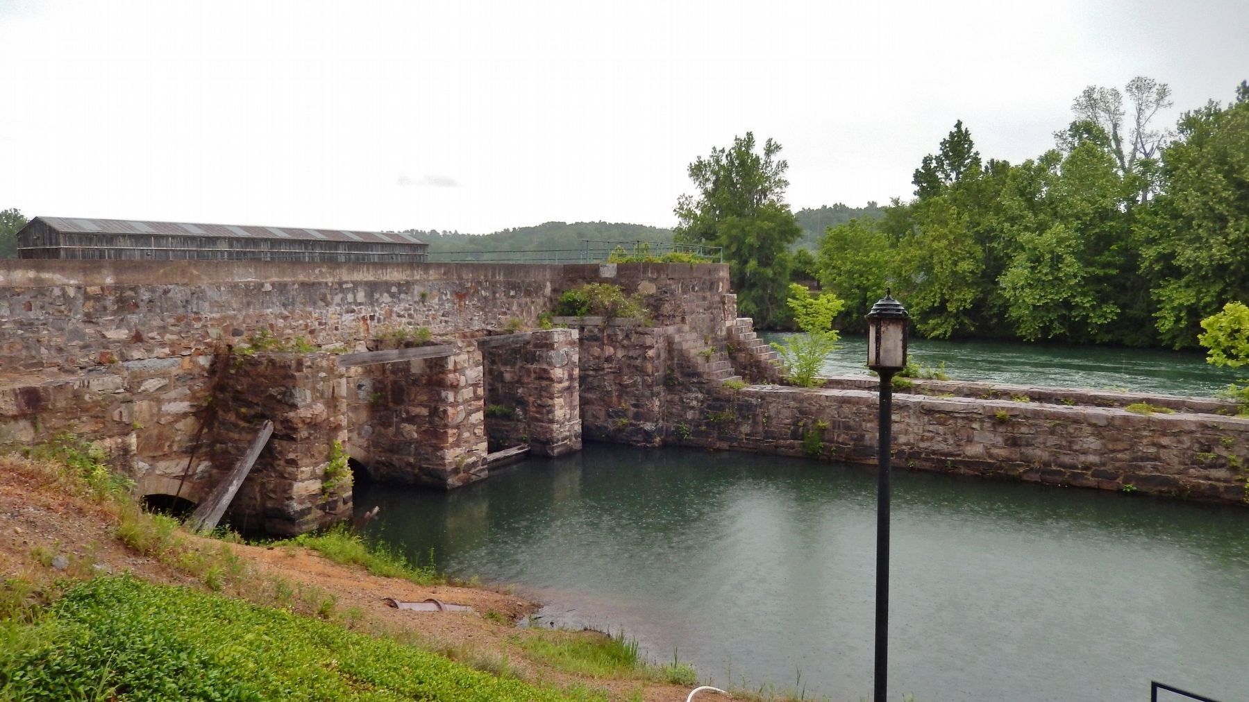
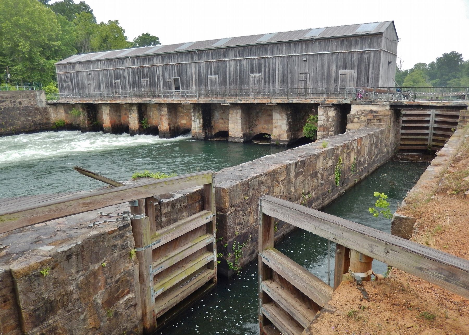
The headgates are designed to regulate the amount of water flowing from the river into the canal. The new 1875 headgates facility incorporated rack and pinion gearing which allowed a single gatekeeper to easily raise and lower seventeen gates.
The new 1875 lock was designed with miter gates that swung open to the sides, replacing the low overhead dropgates in the earlier lock, and enabling vessels of any height to pass through the new lock.
Erected by Augusta Canal Authority.
Topics. This historical marker is listed in these topic lists: Industry & Commerce • Notable Places • Waterways & Vessels.
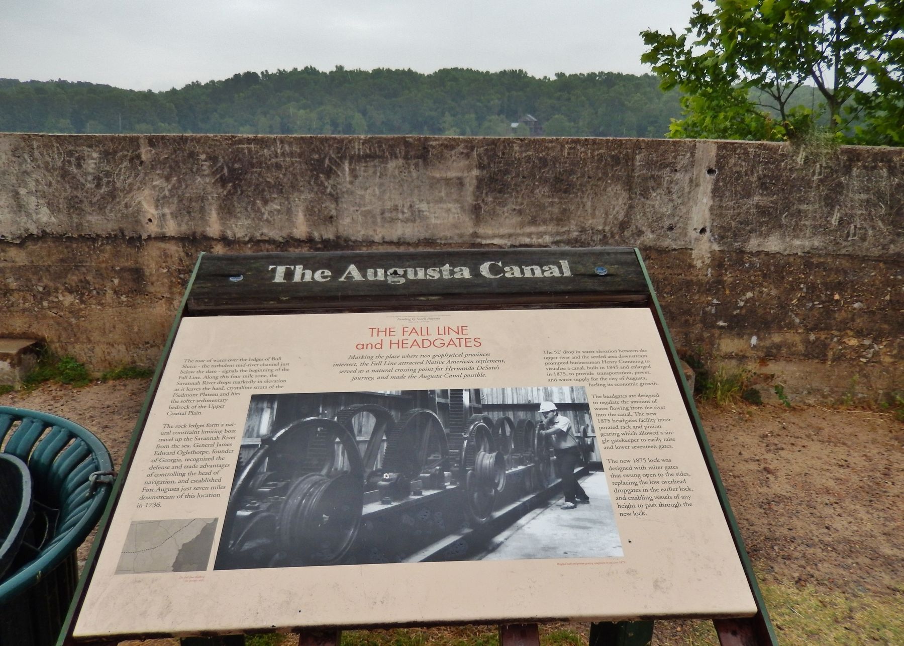
Location. 33° 33.098′ N, 82° 2.309′ W. Marker is in Martinez, Georgia, in Columbia County. Marker can be reached from Evans to Locks Road, one mile east of Stevens Creek Road. Marker is located within Savannah Rapids Regional Park, beside the subject headgates, along the Augusta Canal Trail. Touch for map. Marker is at or near this postal address: 3300 Evans to Locks Road, Augusta GA 30907, United States of America. Touch for directions.
Other nearby markers. At least 8 other markers are within 5 miles of this marker, measured as the crow flies. The Old City Locks (about 600 feet away, measured in a direct line); Lt. General James Longstreet (1821-1904) (approx. 1.8 miles away in South Carolina); Birthplace of General James Longstreet (approx. 1.8 miles away in South Carolina); Big Stevens Creek Baptist Church (Hardy's)
(approx. 3.6 miles away in South Carolina); The Martintown Road (approx. 3.8 miles away in South Carolina); Birthplace of General Joseph Wheeler (approx. 4.3 miles away); Samuel Hammond (approx. 4.6 miles away in South Carolina); Joseph Wheeler (approx. 4.8 miles away).
Also see . . . Augusta Canal. New Georgia Encyclopedia entry:
Built in 1845 by Henry Cumming, the Augusta canal is seven miles long, extending from above the rapids of the Savannah River to the heart of Augusta. In 1996 the canal was designated a National Heritage Area, the first site in Georgia to receive this designation.
Augusta Canal
constructed in 1845, provides water to the city, power to factories, and transportation for canal craft. The canal rescued Augusta from a business depression in the 1840s and provided energy for war-related industries during the Civil War (1861-65). In the 1880s, it fueled an economic boom and then experienced neglect during the mid-1900s. The canal later benefited from a groundswell of popular support in the 1990s. (Submitted on February 23, 2018, by Cosmos Mariner of Cape Canaveral, Florida.)
Credits. This page was last revised on April 15, 2021. It was originally submitted on February 23, 2018, by Cosmos Mariner of Cape Canaveral, Florida. This page has been viewed 1,106 times since then and 47 times this year. Photos: 1, 2, 3, 4, 5, 6. submitted on February 23, 2018, by Cosmos Mariner of Cape Canaveral, Florida. • Bernard Fisher was the editor who published this page.
