Crown Point in Essex County, New York — The American Northeast (Mid-Atlantic)
Crown Point: Military Focus
Inscription.
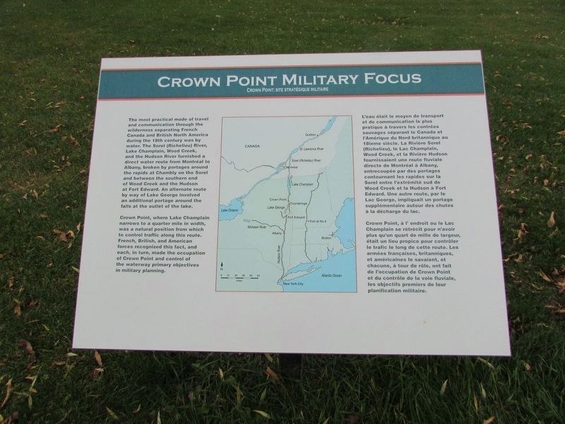
The most practical mode of travel and communication through the wilderness separating French Canada and British North America during the 18th century was by water. The Sorel (Richelieu) River, Lake Champlain, Wood Creek, and the Hudson River furnished a direct water route from Montreal to Albany, broken by portages around the rapids at Chambly on the Sorel and between the southern end of Wood Creek and the Hudson at Fort Edward. An alternative route by way of Lake George involved an additional portage around the falls at the outlet of the lake.
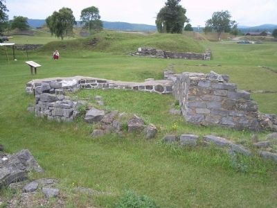
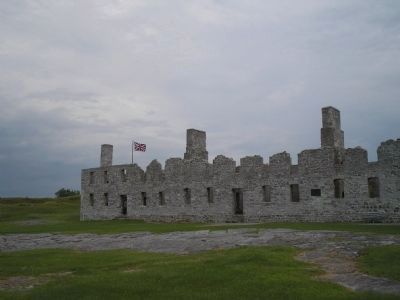
Crown Point, where Lake Champlain narrows to a quarter mile in width, was a natural position from which to control traffic along this route. French, British, and American forces recognized this fact, and each, in turn, made the occupation of Crown Point and control of the waterway primary objectives in military planning.
Erected by Crown Point State Historic Site.
Topics. This historical marker is listed in these topic lists: Forts and Castles • Notable Places • War, French and Indian.
Location. 44° 1.79′ N, 73° 25.651′ W. Marker is in Crown Point, New York, in Essex County. Marker is on Grandview Drive, on the right when traveling west . Marker is in Crown Point State Historic Site, along the walking trail. Touch for map. Marker is in this post office area: Crown Point NY 12928, United States of America. Touch for directions.
Other nearby markers. At least 8 other markers are within walking distance of this marker. Crown Point (a few steps from this marker); Gen. Henry Knox Trail (a few steps from this marker); The French at Crown Point (a few steps from this marker); Welcome To Crown Point State Historic Site (within shouting distance of this marker); Welcome To The Lake Champlain Bridge Heritage Area (within shouting distance of this marker); Selecting a Bridge Location (within shouting distance of this marker); Fort St. Frédéric (about 300 feet away, measured in a direct line); Eastern Terminus (about 400 feet away). Touch for a list and map of all markers in Crown Point.
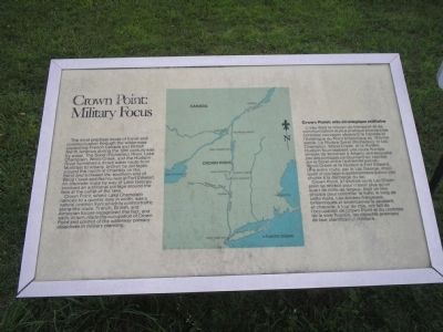
More about this marker. The center of the marker contains a map showing Crown Point in relation to the various waterways that would connect the cities of Canada with those of New York State. The marker also contains a French language version of the above text.
Related markers. Click here for a list of markers that are related to this marker. Take a Virtual Tour by Markers of the Crown Point Historic Site.
Also see . . .
1. Crown Point State Historic Site. New York State Parks, Recreation and Historic Preservation website entry (Submitted on September 13, 2008, by Bill Coughlin of Woodland Park, New Jersey.)
2. Fort Crown Point. Wikipedia entry (Submitted on May 1, 2021, by Larry Gertner of New York, New York.)
3. Fort Crown Point - National Park Service. Download National Register of Historic Places documentation (Submitted on February 5, 2024, by Anton Schwarzmueller of Wilson, New York.)
Credits. This page was last revised on February 5, 2024. It was originally submitted on September 13, 2008, by Bill Coughlin of Woodland Park, New Jersey. This page has been viewed 1,811 times since then and 32 times this year. Photos: 1. submitted on November 16, 2018, by Bill Coughlin of Woodland Park, New Jersey. 2. submitted on September 13, 2008, by Bill Coughlin of Woodland Park, New Jersey. 3. submitted on November 16, 2018, by Bill Coughlin of Woodland Park, New Jersey. 4, 5, 6, 7. submitted on September 13, 2008, by Bill Coughlin of Woodland Park, New Jersey.
