East St. Clair Township near New Paris in Bedford County, Pennsylvania — The American Northeast (Mid-Atlantic)
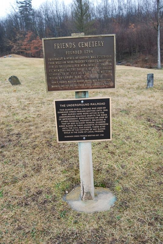
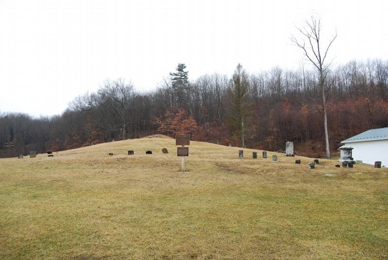
Friends Cemetery / The Underground Railroad
Top Marker
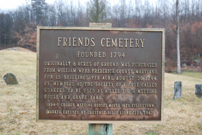
Friends Cemetery
Founded 1794
Originally 6 acres of ground was purchased from William Webb, Frederick County, Maryland, for 15 shillings per acre, August 30, 1794, by "Members of the Society of People called Quakers to be used as a site for a meeting house and grave-yard."
1884-5 church meeting houses moved into Fishertown.
Bottom Marker
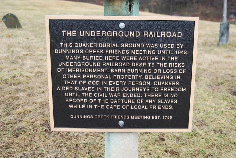
The Underground Railroad
This Quaker burial ground was used by Dunnings Creek Friends Meeting until 1948. Many buried here were active in the Underground Railroad despite the risks of imprisonment, barn burning or loss of other personal property. Believing in that of God in every person, Quakers aided slaves in their journeys to freedom until the Civil War ended. There is no record of the capture of any slaves while in the care of local friends.
Dunnings Creek Friends Meeting est. 1795
Erected 1967 by Chestnut Ridge Lions Club.
Topics and series. This historical marker is listed in these topic lists: Abolition & Underground RR • Cemeteries & Burial Sites • Churches & Religion • War, US Civil. In addition, it is included in the Quakerism series list. A significant historical date for this entry is August 30, 1794.
Location. 40° 9.243′ N, 78° 34.964′ W. Marker is near New Paris, Pennsylvania, in Bedford County. It is in East St. Clair Township. Marker is on Quaker Valley Road (Pennsylvania Route 56) 0.1 miles south of Presnell Road, on the right when traveling south. Touch for map. Marker is at or near this postal address: 3001 Quaker Valley Rd, New Paris PA 15554, United States of America. Touch for directions.
Other nearby markers. At least 8 other markers are within 8 miles of this marker, measured as the crow flies. Pleasantville School (approx. 2.6 miles away); Benjamin Walker Homestead (approx. 3.1 miles away); Osterburg Area Veterans Memorial (approx. 3˝ miles away); From Motor Camping to Tourist Cabins (approx. 7.6 miles away); Forbes Road (approx. 7.8 miles away); a different marker also named Forbes Road (approx. 7.8 miles away); Traveling The Highway (approx. 7.8 miles away); Bonnet Tavern (approx. 7.8 miles away).
Credits. This page was last revised on February 7, 2023. It was originally submitted on February 24, 2018, by Mike Wintermantel of Pittsburgh, Pennsylvania. This page has been viewed 516 times since then and 40 times this year. Photos: 1, 2, 3, 4. submitted on February 24, 2018, by Mike Wintermantel of Pittsburgh, Pennsylvania.


