Near Church Creek in Dorchester County, Maryland — The American Northeast (Mid-Atlantic)
The Harriet Tubman Underground Railroad Byway

Photographed By Devry Becker Jones (CC0), November 11, 2017
1. The Harriet Tubman Underground Railroad Byway Marker
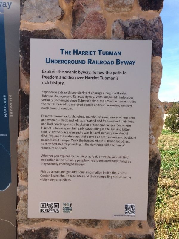
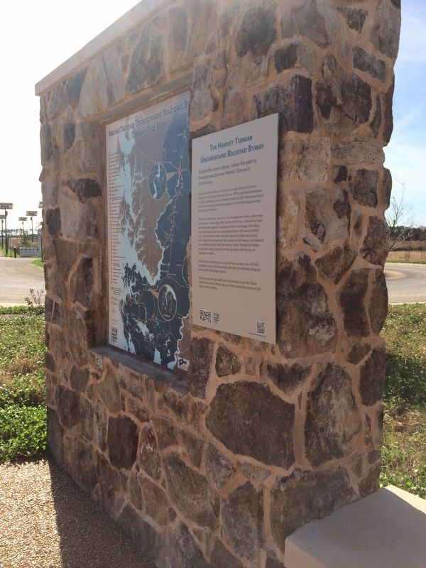
Experience extraordinary stories of courage along the Harriet Tubman Underground Railroad Byway. With unspoiled landscapes virtually unchanged since Tubman's time, the 125-mile byway traces the routes braved by enslaved people on their harrowing journeys north toward freedom.
Discover farmsteads, churches, courthouses, and more, where men and women—black and white, enslaved and free--risked their lives and livelihoods against a backdrop of fear and danger. See where Harriet Tubman spent her early days toiling in the sun and bitter cold. Visit the place where she was injured so badly she almost died. Explore the waterways that served as both means and obstacle to successful escape. Walk the forests where Tubman led others as they fled, hearts pounding in the darkness with the fear of recapture or death.
Whether you explore by car, bicycle, foot, or water, you will find inspiration in the ordinary people who did extraordinary things as they secretly challenged slavery.
Pick up a map and get additional information inside the Visitor Center. Learn about these sites and their compelling stories in the visitor center exhibits.
Topics and series. This historical marker is listed in these topic lists: Abolition & Underground RR • African Americans • Women. In addition, it is included in the Harriet Tubman Underground Railroad Byway series list.
Location. 38° 26.954′ N, 76° 8.301′ W. Marker is near Church Creek, Maryland, in Dorchester County. Marker can be reached from Golden Hill Road south of Key Wallace Drive, on the right when traveling south. Touch for map. Marker is at or near this postal address: 4068 Golden Hill Road, Church Creek MD 21622, United States of America. Touch for directions.
Other nearby markers. At least 8 other markers are within one mile of this marker, measured as the crow flies. The Harriet Tubman Underground Railroad Visitor Center (within shouting distance of this marker); Blackwater National Wildlife Refuge (within shouting distance of this marker); The Underground Railroad (within shouting distance of this marker); Harriet Tubman (within shouting distance of this marker); Highway to Freedom (about 400 feet away, measured in a direct line); Harriet Tubman Underground Railroad Visitor Ctr. (about 400 feet away); Welcome to Blackwater National Wildlife Refuge

Photographed By Devry Becker Jones (CC0), November 11, 2017
2. The Harriet Tubman Underground Railroad Byway Marker
Also see . . . Harriet Tubman Byway. (Submitted on November 11, 2017, by Devry Becker Jones of Washington, District of Columbia.)

Photographed By Devry Becker Jones (CC0), November 11, 2017
3. The Harriet Tubman Underground Railroad Byway Marker
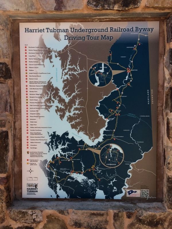
Driving Tour Map
Credits. This page was last revised on March 18, 2019. It was originally submitted on November 11, 2017, by Devry Becker Jones of Washington, District of Columbia. This page has been viewed 240 times since then and 7 times this year. Last updated on February 26, 2018, by Devry Becker Jones of Washington, District of Columbia. Photos: 1, 2, 3. submitted on November 11, 2017, by Devry Becker Jones of Washington, District of Columbia. • Andrew Ruppenstein was the editor who published this page.