Intersection of North Canal and Jefferson streets
Natchez Trails
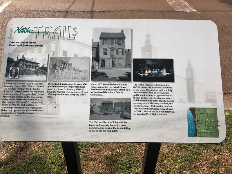
On this hill, Andrew Ellicott raised the American flag in 1797. This act claimed the Natchez Territory for the United States and helped hasten the departure of the Spanish. A few years later, James Moore built a home on the site, known today as the House on Ellicott Hill. The Natchez Garden Club restored the house in 1935, the first building in ississippi restored by an organization.oday they operate the National Historic Landmark as a furnished house museum.
The historic buildings on the west side of Canal Street (no longer standing)were torn down in the early 1900s to build the City build the Natchez Ice Company. A post office replaced the ice company in the 1960s.
About 1805, James Andrews built his home, now called the Priest House, four blocks away on Market Street, on a lot that faced the Adams County Courthouse.
The Works Progress Administration home, (WPA), one of the economic initiatives of the Great Depression, built the City Auditorium in 1939 as a combined public auditorium and gymnasium on the grounds of the Choctaw mansion. Public events held at the facility include sporting events, circuses, concerts, the Literary Celebration, and the Historic Natchez Pageant (seen above). In 1965, it also served as a temporary jail for arrested Civil Rights
activists.The Natchez Garden Club saved the house and a nearby law office from destruction by moving the two buildings to this site in the mid-1900s.
Erected by City of Natchez.
Topics and series. This historical marker is listed in these topic lists: Roads & Vehicles • Settlements & Settlers. In addition, it is included in the Mississippi - Natchez Trails series list.
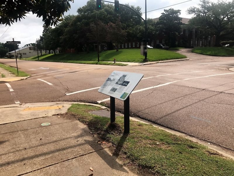
Location. 31° 33.793′ N, 91° 24.234′ W. Marker is in Natchez, Mississippi, in Adams County. Marker is on North Canal Street near Jefferson Street, on the left when traveling north. Touch for map. Marker is at or near this postal address: 214 North Canal Street, Natchez MS 39120, United States of America. Touch for directions.
Other nearby markers. At least 8 other markers are within walking distance of this marker. Bluff Park and North Broadway Street (about 500 feet away, measured in a direct line); Andrew Marschalk (about 500 feet away); Intersection of High and North Wall Streets (about 500 feet away); Natchez Bluffs and River Views (about 600 feet away); Ealey Brothers (about 700 feet away); Snakes (about 700 feet away); Bluff Park and South Broadway Street (about 700 feet away); The Natchez Trace (about 700 feet away). Touch for a list and map of all markers in Natchez.
Credits. This page was last revised on February 28, 2018. It was originally submitted on February 27, 2018, by Cajun Scrambler of Assumption, Louisiana. This page has been viewed 222 times since then and 33 times this year. Photos: 1, 2. submitted on February 27, 2018.

