Near Brownsville in Linn County, Oregon — The American West (Northwest)
Brownsville

Photographed By Barry Swackhamer, September 26, 2017
1. Brownsville Marker
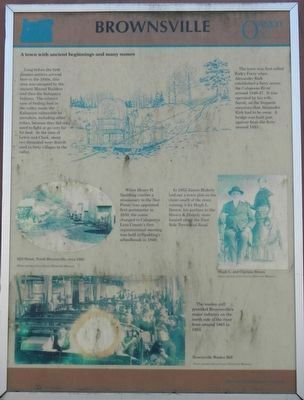
Captions: (oval, center left) Mill Street, North Brownsville, circa 1860; (bottom left) The woolen mill provided Brownsville's major industry on the north side of the river from around 1861 to 1955.; (center right) Hugh L. and Clarissa Brown.
Long before the first pioneer settlers arrived here in the 1840’s, this area was occupied by the ancient Mound Builders and then the Kalapuya Indians. The relative ease of finding food in the valley made the Kalapuya vulnerable to intruders, including other tribes, because they did not need to fight or go very far for food. At the time of Lewis and Clark, about two thousand were distributed in forty villages in the valley.
The town was first called Kirk’s Ferry when Alexander Kirk established a ferry across the Calapooia River around 1846-47. It was operated by his wife, Sarah, on the frequent occasions that Alexander Kirk had to be away. A bridge was built just upriver from the ferry around 1853.
When Henry H. Spalding (earlier a missionary to the Nez Perce) was appointed first Postmaster in 1850, the name changed to Calapooya. Linn County’s first organizational meeting was held in Spalding’s Schoolhouse in 1849.
In 1853 James Blakely laid out a town plat on his claim south of the river, naming it for Hugh L. Brown, his partner in the Brown & Blakely store located along the East Side Territorial Road.
Erected by Oregon Travel Experience.
Topics and series. This historical marker is listed in this topic list: Settlements & Settlers. In addition, it is included in the Oregon Beaver Boards series list.
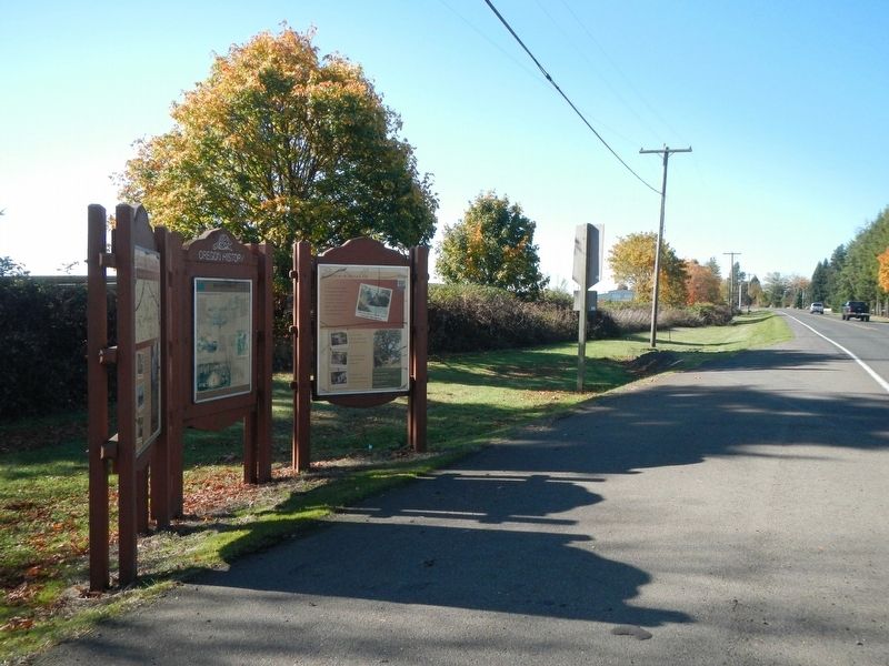
Location. 44° 23.262′ N, 122° 59.328′ W. Marker is near Brownsville, Oregon, in Linn County. Marker is on Halsey-Sweet Home Highway (West Bishop Way) (Oregon Route 228 at milepost 6) near Loucks Way, on the right when traveling east. Touch for map. Marker is at or near this postal address: 408 Halsey-Sweet Home Highway, Brownsville OR 97327, United States of America. Touch for directions.
Other nearby markers. At least 2 other markers are within walking distance of this marker. The Moyer House (approx. 0.4 miles away); Fire Bell (approx. 0.4 miles away).
Also see . . . Brownsville, Oregon - Wikipedia. In the mid 1980s Brownsville assumed a modicum of international notoriety as the location set for the film Stand by Me, directed by Rob Reiner.... The film was shot in and around the community in June and July 1985, with theatrical release made in August 1986. About 100 local residents were used as extras in the film and the event was memorialized in 2007 with the first community celebration of Stand By Me Day on July 23 of that year. (Submitted on February 27, 2018, by Barry Swackhamer of Brentwood, California.)
Credits. This page was last revised on February 27, 2018. It was originally submitted on February 27, 2018, by Barry Swackhamer of Brentwood, California. This page has been viewed 279 times since then and 25 times this year. Photos: 1, 2. submitted on February 27, 2018, by Barry Swackhamer of Brentwood, California.
