Wetlands
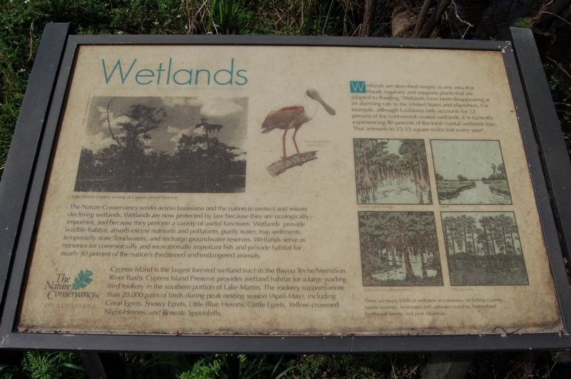
Wetlands are described simply as any area that floods regularly and supports plants that are adapted to flooding. Wetlands have been disappearing at an alarming rate in the United States and elsewhere. For example, although Louisiana only accounts for 12 percent of the continental coastal wetlands, it is currently experiencing 80 percent of the total coastal wetlands less. That amounts to 25-35 square miles lost every year!
The Nature Conservancy works across Louisiana and the nation to protect and restore declining wetlands. Wetlands are now protected by law because they are ecologically important, and because they perform a variety of useful functions. Wetlands provide wildlife habitat, absorb excess nutrients and pollutants, purify water, trap sediments, temporarily store floodwaters, and recharge groundwater reserves. Wetlands serve as nurseries for commercially and recreationally important fish and provide habitat for nearly 50 percent of the nation's threatened and endangered animals.
Cypress Island is the largest forested wetland tract in the Bayou Teche/Vermilion River Basin. Cypress Island Preserve provides wetland habitat for a large wading. bird rookery in the southern portion of Lake Martin. The rookery supports more than 20,000 pairs of birds during peak nesting season (April-May), including Great Egrets, Snowy
Egrets, Little Blue Herons, Cattle Egrets, Yellow-crowned Night-Herons, and Roseate Spoonbills.There are many kinds of wetlands in Louisiana, including cypress- tupelo swamps, freshwater and saltwater marshes, bottomland hardwood forests, and pine savannas.
Erected by The Nature Conservancy of Louisiana.
Topics. This historical marker is listed in these topic lists: Environment • Waterways & Vessels.
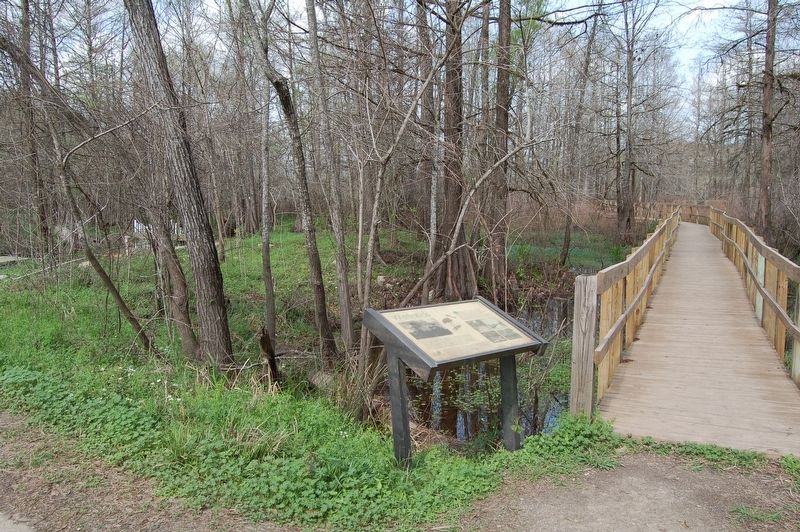
Location. 30° 12.212′ N, 91° 54.044′ W. Marker is in Breaux Bridge, Louisiana, in St. Martin Parish. Marker is on Rookery Road east of Prairie Highway (State Highway 353), on the left when traveling east. Touch for map. Marker is at or near this postal address: 1001 Rookery Road, Breaux Bridge LA 70517, United States of America. Touch for directions.
Other nearby markers. At least 8 other markers are within 5 miles of this marker, measured as the crow flies. Lake Martin (within shouting distance of this marker); American Alligator (about 400 feet away, measured in a direct line); The Pellerin-Chauffe House (approx. 3.9 miles away); Breaux Bridge / Pont-Breaux (approx. 4.8 miles away); Pont Breaux, Louisiane (approx. 4.8 miles away); The Valery Thibodeaux House (approx. 4.9 miles away); Cajun Warrior (approx. 4.9 miles away); Scholastique Picou Breaux (approx. 4.9 miles away). Touch for a list and map of all markers in Breaux Bridge.
Credits. This page was last revised on February 28, 2018. It was originally submitted on February 28, 2018, by Cajun Scrambler of Assumption, Louisiana. This page has been viewed 174 times since then and 7 times this year. Photos: 1, 2. submitted on February 28, 2018.

