Hometown in Putnam County, West Virginia — The American South (Appalachia)
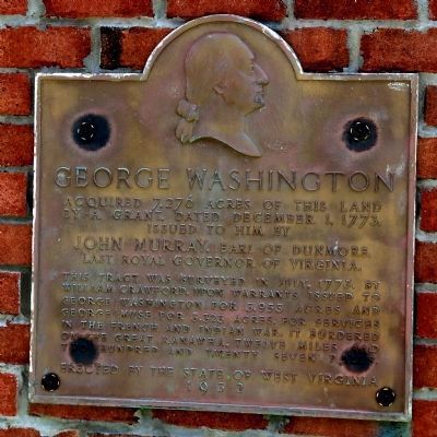
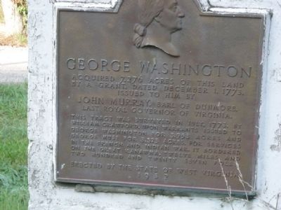
George Washington
by a grant, dated December 1, 1773
issued to him by
John Murray, Earl of Dunmore,
last Royal Governor of Virginia.
This tract was surveyed in July, 1773,
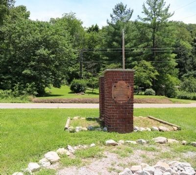
Erected 1932 by The State of West Virginia.
Topics and series. This historical marker is listed in these topic lists: Colonial Era • Settlements & Settlers • War, French and Indian. In addition, it is included in the Former U.S. Presidents: #01 George Washington series list. A significant historical month for this entry is July 1773.
Location. 38° 31.715′ N, 81° 51.434′ W. Marker is in Hometown, West Virginia, in Putnam County. Marker is on Charleston Road (Route 62) south of A Street (Local Road 35/11). Touch for map. Marker is in this post office area: Hometown WV 25109, United States of America. Touch for directions.
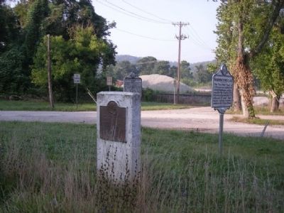
Other nearby markers. At least 8 other markers are within 2 miles of this marker, measured as the crow flies. Washington’s Land (here, next to this marker); Andrew & Charles Lewis March (a few steps from this marker); A Park for the Coal Miner (within shouting distance of this marker); Coal Mining in Putnam County (within shouting distance of this marker); Kanawha Valley Drag Strip (approx. ¾ mile away); Historic Hoge House (approx. 1.8 miles away); The Civil War in Putnam County (approx. 1.9 miles away); Putnam County War Memorial (approx. 1.9 miles away). Touch for a list and map of all markers in Hometown.
More about this marker. Wikipedia: The rod or perch or pole is a surveyors tool and unit of length equal to 5½ yards, 16½ feet or 1⁄320 of a statute mile and one-fourth of a surveyor’s chain. The rod is useful as a unit of length because whole number multiples of it can equal one acre of square measure.
Credits. This page was last revised on December 28, 2019. It was originally submitted on September 14, 2008, by Mike Stroud of Bluffton, South Carolina. This page has been viewed 1,155 times since then and 23 times this year. Photos: 1, 2. submitted on July 22, 2015, by J. J. Prats of Powell, Ohio. 3, 4. submitted on September 14, 2008, by Mike Stroud of Bluffton, South Carolina. • Bill Pfingsten was the editor who published this page.


