Almaden near Twin Creeks in Santa Clara County, California — The American West (Pacific Coastal)
Scanning the Skies
Photographed By Barry Swackhamer, February 14, 2018
1. Scanning the Skies Marker
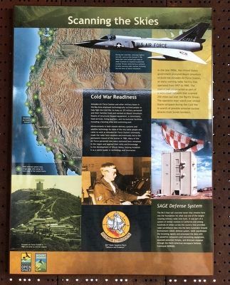
Captions: (upper right) During the Cold War, intercept fighter aircraft, such as this Convair F-106 Delta Dart were poised and ready at other locations to respond to potential nuclear threats detected by a network of early warning radar stations including the one here at Mount Umunhum.; (center left) ☉ SAGE defense system long range radar sites along the west coast of the United States.; (bottom left) Almaden Air Force in 1980 just prior to station closure.; (bottom center) 682nd Radar Squadron Patch, "Vigilance and Prudence."
Almaden Air Force Station and other military bases in the Bay Area employed technologically inclined people to help fight the Cold War. As many as 125 military personnel and their families lived and worked on Mount Umunhum. Dozens of structures housed equipment, a commissary, food services, living quarters, and recreational facilities including a bowling alley and swimming pool.
Advancements in both missile delivery systems and satellite technology-by some of the very same people who came to work at Almaden Air Force Station-ultimately made the radar here obsolete and eventually led to the permanent closure of the station in 1980. Many Air Force personnel who were stationed here remained in the region and applied their skills and knowledge to the development of Silicon Valley, helping establish it as a world leader in technology and innovation.
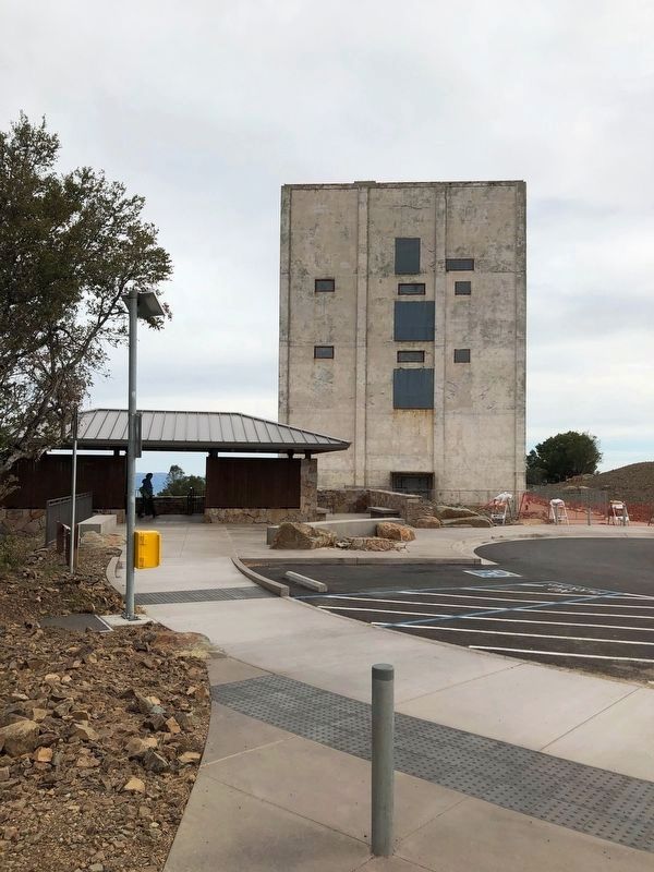
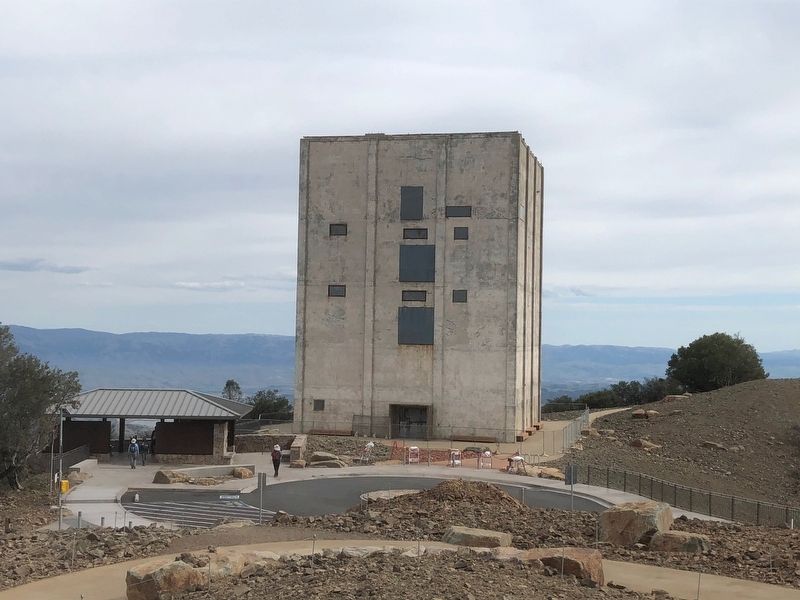
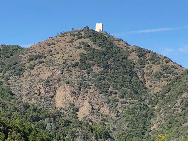
The 84.5 foot tall concrete tower that remains here was the foundation of what was one of the largest rotating military radar ever built. It was part of a system of similar stations in California and among hundreds of others across the country that provided radar surveillance data into the Semi-Automatic Ground Environment (SAGE) defense system. SAGE coordinated the incoming signals and processed the data with its powerful computers and networking equipment, assessed potential threats, and directed response through the North American Aerospace Defense Command (NORAD).
Erected by Midpeninsula Regional Open Space District.
Topics. This historical marker is listed in these topic lists: Military • War, Cold.
Location. 37° 9.637′ N, 121° 53.876′ W. Marker is near Twin Creeks, California, in Santa Clara County. It is in Almaden. Marker can be reached from Mount Umunhum Road near Mount Umunhum-Loma Prieta Road. Touch for map. Marker is at or near this postal address: 17100 Mt Umunhum Rd, Los Gatos CA 95030, United States of America. Touch for directions.
Other nearby markers. At least 8 other markers are within 4 miles of this marker, measured as the crow flies. Early People of Mount Umunhum (here, next to this marker); A Sacred Site (within shouting distance of this marker); Military Community (about 700 feet away, measured in a direct line); Miners and Settlers (approx. ¼ mile away); Wood Road & Jacques Ridge (approx. 2.2 miles away); Mine Hill (approx. 3.1 miles away); The Rossi Retort (approx. 3.1 miles away); SpanishTown (approx. 3.2 miles away). Touch for a list and map of all markers in Twin Creeks.
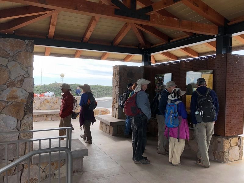
More about this marker. This marker is located at the Mount Umunhum Summit Shelter
Credits. This page was last revised on February 7, 2023. It was originally submitted on March 4, 2018, by Barry Swackhamer of Brentwood, California. This page has been viewed 439 times since then and 31 times this year. Photos: 1, 2, 3, 4, 5. submitted on March 4, 2018, by Barry Swackhamer of Brentwood, California.
