Bethlehem in Northampton County, Pennsylvania — The American Northeast (Mid-Atlantic)
Monocacy Creek and Johnston Park
”Every municipality is morally bound to furnish to its inhabitants an abundant supply of pure water, and a well-drained soil... "
Archibald Johnston
First Mayor of the unified City of Bethlehem
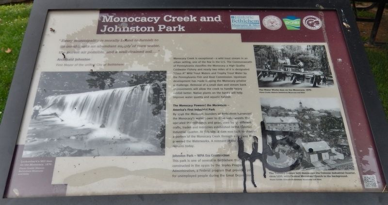
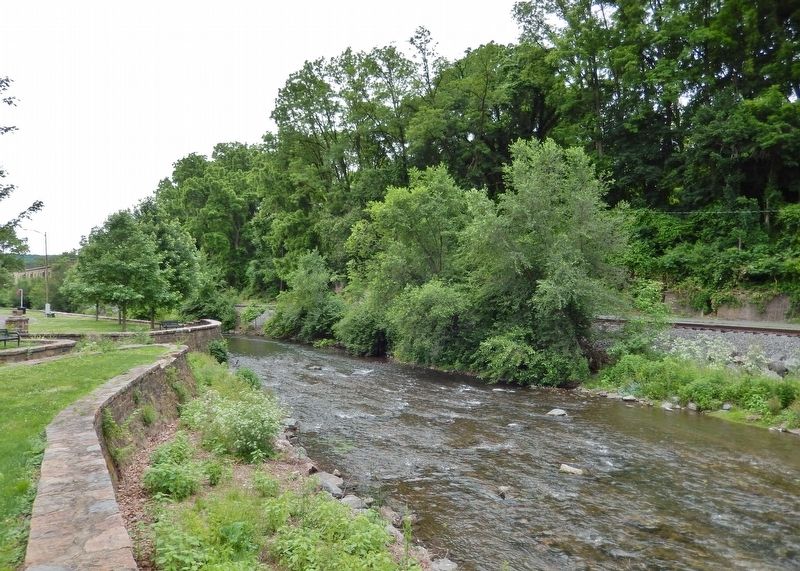
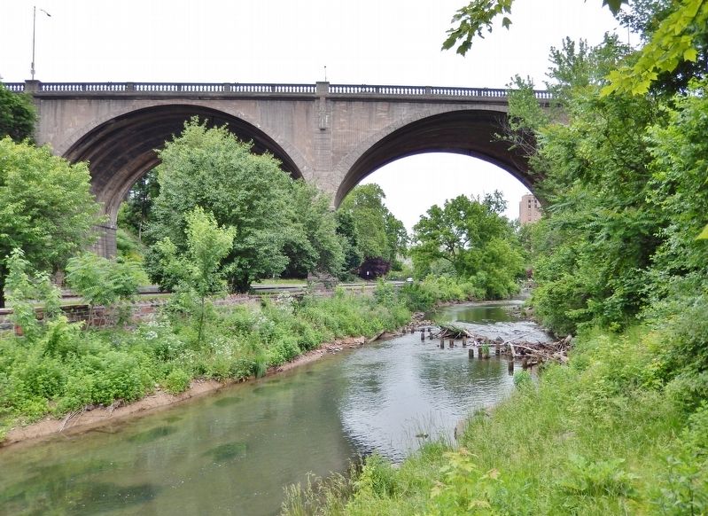
Monocacy Creek is exceptional – a wild trout stream in an urban setting, one of the few in the U.S. The Commonwealth of Pennsylvania classifies the Monocacy a High Quality Coldwater Fishery and nearly two miles of it is designated "Class A" Wild Trout Waters and Trophy Trout Water by the Pennsylvania Fish and Boat Commission. Upstream development has made keeping the Monocacy pristine a challenge. Removal of a small dam and stream bank improvements will allow the creek to handle heavy rainfall better. Native plants on the banks will help improve water quality and aquatic habitat.
The Monocacy Powered the Moravians –
America's First Industrial Park
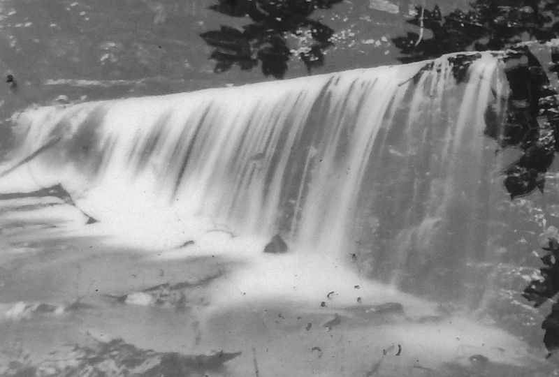
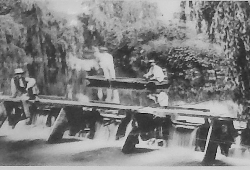
By 1746 the Moravian founders of Bethlehem harnessed the Monocacy's water power to drive waterwheels that operated the millstones and gears used by 35 different crafts, trades and industries established in the Colonial Industrial Quarter. At this site, a dam was built to channel a portion of the Monocacy Creek through a raceway that powered the Waterworks. A remnant of the dam remains today.
Johnston Park — WPA Era Construction
This park is one of several in Bethlehem that were constructed in the 1930s by the Works Progress Administration, a Federal program that provided jobs for unemployed people during the Great Depression.
Erected by Historic Bethlehem, Pennsylvania DCNR, and Delaware & Lehigh National Heritage Corridor.
Topics. This historical marker is listed in these topic lists: Charity & Public Work • Industry & Commerce • Notable Places • Waterways & Vessels.
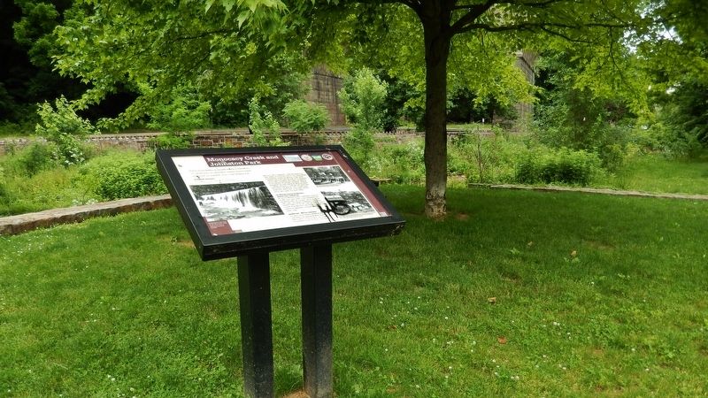
Location. 40° 37.308′ N, 75° 23.023′ W. Marker is in Bethlehem, Pennsylvania, in Northampton County. Marker is on Old York Road north of Ohio Road, on the left when traveling north. Marker is located in Johnston Park, near some shaded picnic tables overlooking Monocacy Creek. Touch for map. Marker is in this post office area: Bethlehem PA 18018, United States of America. Touch for directions.
Other nearby markers. At least 8 other markers are within walking distance of this marker. Sun Inn (about 500 feet away, measured in a direct line); Dye House (about 500 feet away); Lafayette (about 500 feet away); Luckenbach Mill (about 500 feet away); Miller's House (about 600 feet away); Butchery (about 600 feet away); The Unknown Soldier (about 600 feet away); Springhouse (about 700 feet away). Touch for a list and map of all markers in Bethlehem.
Also see . . . Monocacy Park, a WPA project.
Stone walks, benches, tables … the WPA provided all that's needed for families to have a delightful picnic. When the park opened, city officials claimed that the fireplace was the most modern of its kind in the entire state. The Monocacy Creek was thoroughly cleaned and widened. Seventy trees were planted. Even the existing dam was strengthened and modernized. Flanked by two pavilions, the dam is truly the focal point of the entire park. What a beautiful site it is to see and feel the creek water tumble over steps of Coopersburg granite. (Submitted on March 4, 2018, by Cosmos Mariner of Cape Canaveral, Florida.)
Credits. This page was last revised on October 6, 2020. It was originally submitted on March 4, 2018, by Cosmos Mariner of Cape Canaveral, Florida. This page has been viewed 548 times since then and 58 times this year. Photos: 1, 2, 3, 4, 5, 6. submitted on March 4, 2018, by Cosmos Mariner of Cape Canaveral, Florida. • Bill Pfingsten was the editor who published this page.
