Freeport in Armstrong County, Pennsylvania — The American Northeast (Mid-Atlantic)
Freeport
From Wilderness to Town
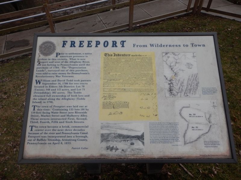
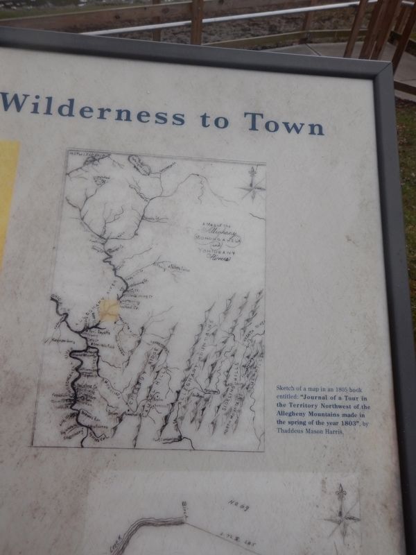
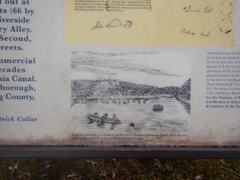
Prior to settlement, a native american presence evident in this vicinity. What is now Freeport and west of the Allegheny River, did not belong to Pennsylvania until the purchase of 1784. The "Depreciation Lands", surveyed out of this purchase were sold to raise money for Pennsylvania's Revolutionary War Veterans.
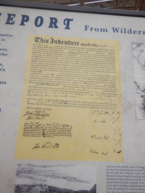
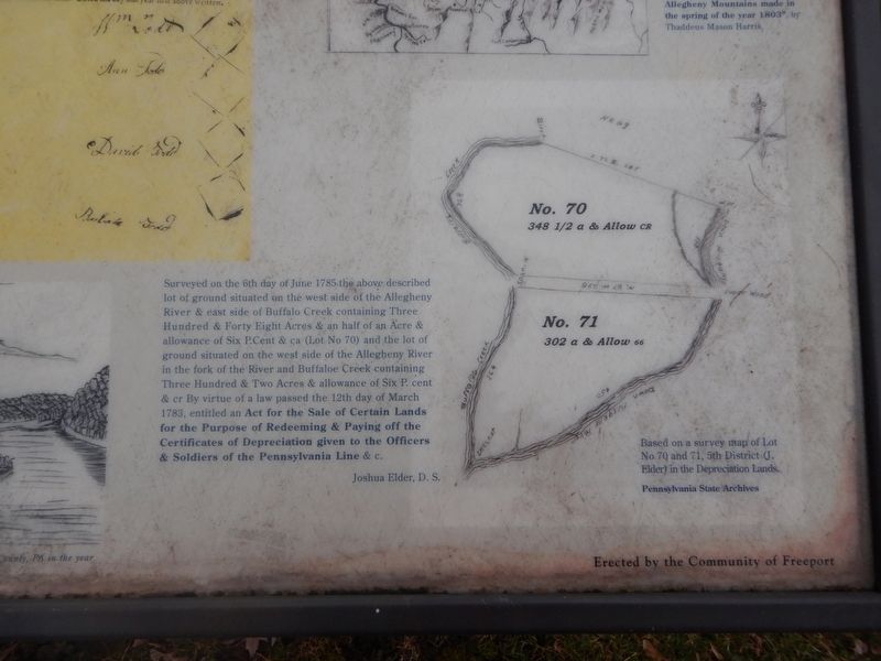
William and David Todd took patents September 16, 1786 for two tracts located in Elders 5th District: Lot 70 (Union); 348 and 1/2 acres, and Lot 71 (Friendship); 302 acres. The Todds obtained full ownership of both lots and the island along the Allegheny (Todds Island) in 1796.
The town of Freeport was laid out at this time. Containing 135 lots (66 by 159 feet) facing Water Street (now Riverside Drive), Market Street and Mulberry Alley. These streets intersected First, Second, Third, Fourth, Fifth and Sixth Streets.
The town became a brisk, commercial center over the next three decades because of the river and Pennsylvania Canal. Freeport was incorporated into a borough, out of Buffalo Township, Armstrong County, Pennsylvania on April 8, 1833.
Erected by Community of Freeport.
Topics. This historical marker is listed in these topic lists: Native Americans • Settlements & Settlers • War, US Revolutionary • Waterways & Vessels. A significant historical date for this entry is April 8, 1833.
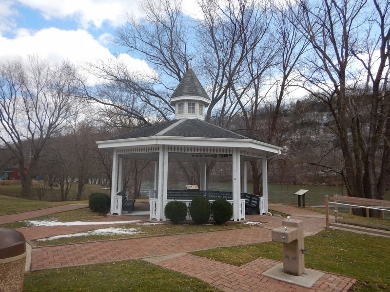
Location. 40° 40.296′ N, 79° 41.063′ W. Marker is in Freeport, Pennsylvania, in Armstrong County. Marker can be reached from the intersection of Riverside Drive and 5th Street. Located near the gazebo in the river side park. Touch for map. Marker is in this post office area: Freeport PA 16229, United States of America. Touch for directions.
Other nearby markers. At least 8 other markers are within 8 miles of this marker, measured as the crow flies. Freeport Veterans Memorial (within shouting distance of this marker); Burtner House (approx. 3.7 miles away); The Siberian Iron Works (approx. 5 miles away); D. Leech & Company / Western Transportation Company (approx. 5.1 miles away); Pennsylvania Canal (approx. 5.4 miles away); Orr's Block House (approx. 6.3 miles away); Chartier's Old Town (approx. 6.3 miles away); Fannie Sellins (approx. 7.3 miles away).
Also see . . . Freeport, Pennsylvania. Wikipedia entry (Submitted on June 29, 2022, by Larry Gertner of New York, New York.)
Credits. This page was last revised on June 29, 2022. It was originally submitted on March 10, 2018, by Mike Wintermantel of Pittsburgh, Pennsylvania. This page has been viewed 533 times since then and 32 times this year. Photos: 1, 2, 3, 4, 5, 6. submitted on March 10, 2018, by Mike Wintermantel of Pittsburgh, Pennsylvania.
