Mystic in Groton in New London County, Connecticut — The American Northeast (New England)
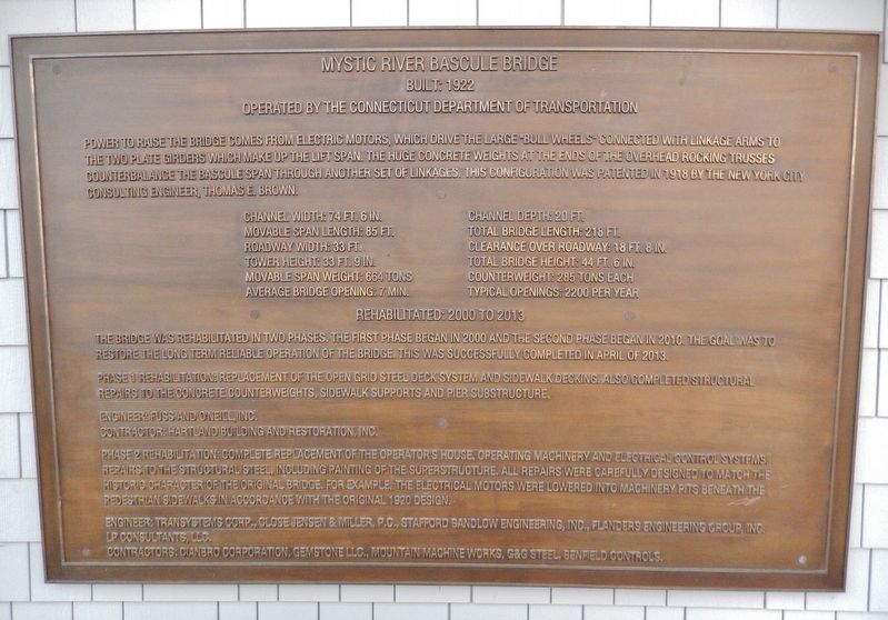
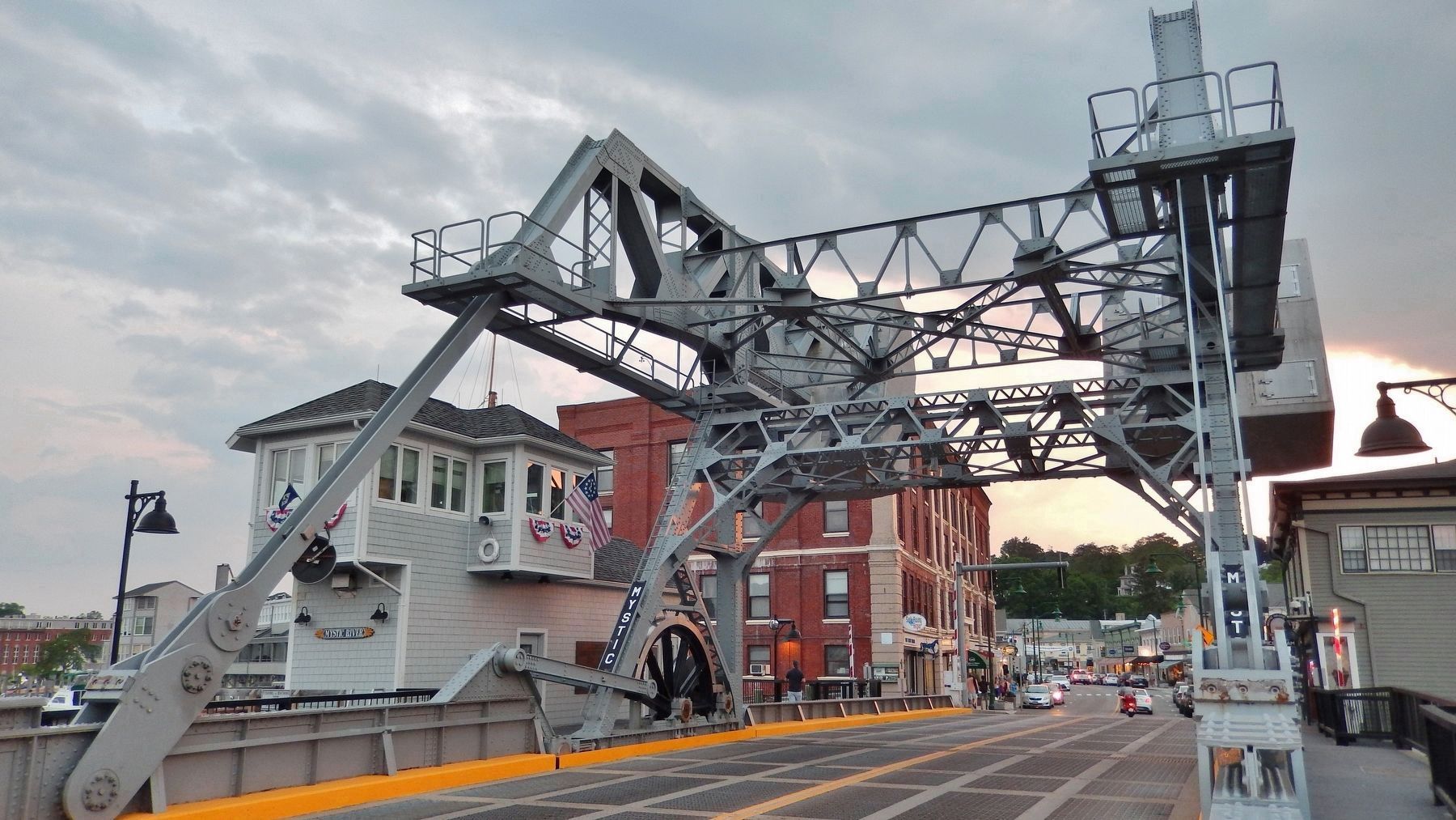
Mystic River Bascule Bridge
Built 1922
— Operated by the Connecticut Department of Transportation —
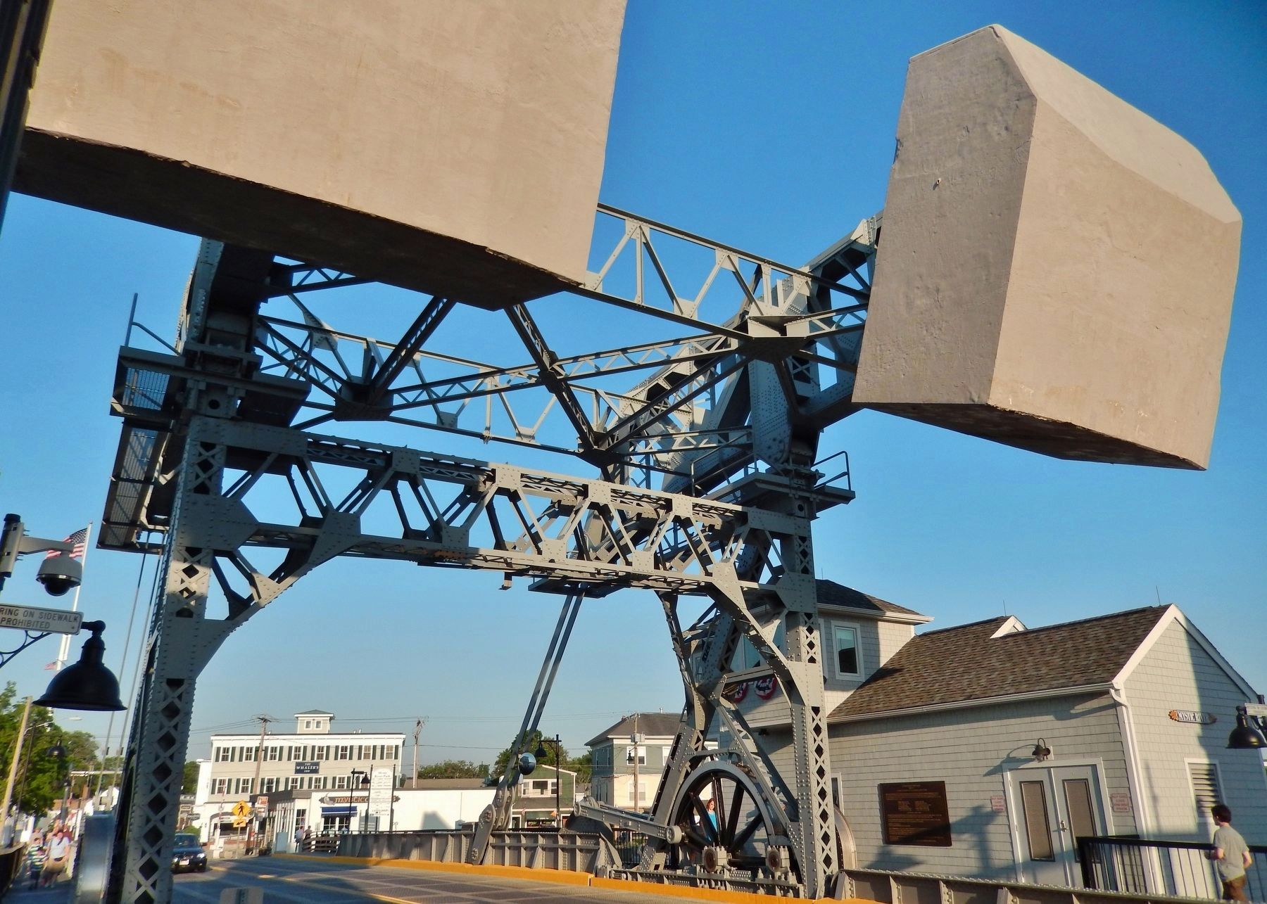
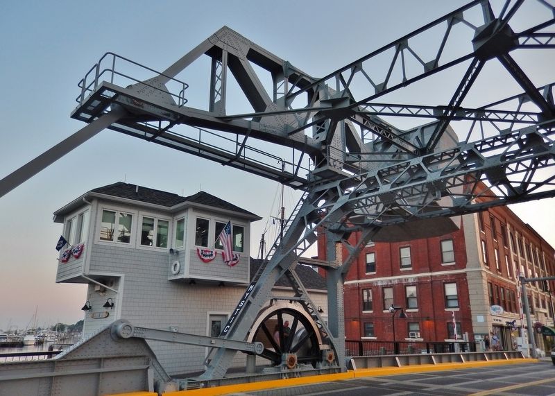
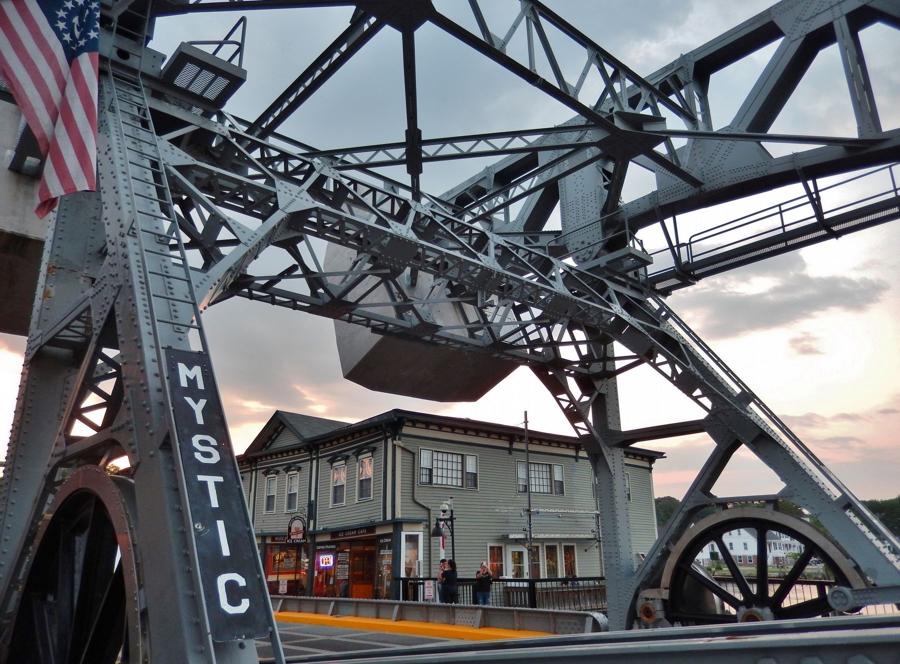
Power to raise the bridge comes from electric motors, which drive the large “Bull Wheels” connected with Linkage arms to the two plate girders which make up the lift span. The huge concrete weights at the ends of the overhead rocking trusses counterbalance the bascule span through another set of linkages. This configuration was patented in 1918 by the New York City Consulting Engineer, Thomas E. Brown.
Channel Width: 74 ft. 6 in.
Channel Depth: 20 ft.
Movable Span Length: 85 ft.
Total Bridge Length: 218 ft.
Roadway Width: 33 ft.
Clearance Over Roadway: 18 ft. 8 in.
Tower Height: 33 ft. 9 in.
Total Bridge Height 44 ft. 6 in.
Movable Span Weight: 664 tons
Counterweight: 285 tons each
Average Bridge Opening: 7 min.
Typical Openings: 2200 per year
Rehabilitated 2000 to 2013
The bridge was rehabilitated in two phases. The first phase began in 2000 and the second phase began in 2010. The goal was to restore the long term reliable operation of the bridge. This was successfully completed in April of 2013.
Phase 1 Rehabilitation: replacement of the open grid steel deck system and sidewalk decking. Also completed structural repairs to the concrete counterweights, sidewalk supports and pier substructure.
Engineer: Fuss and O’Neil, Inc.
Phase 2 Rehabilitation: Complete replacement of the operator’s house, operating machinery and electrical control systems. Repairs to the structural steel, including painting of the superstructure. All repairs were carefully designed to match the historic character of the original bridge. For example, the electric motors were lowered into machinery pits beneath the pedestrian sidewalks in accordance with the original 1920 design.
Engineer: Transystems Corp., Close, Jensen & Miller, P.C., Stafford Bandlow Engineering, Inc., Flanders Engineering Group, Inc., LP Consultants, LLC.
Contractors: Cianbro Corporation, Gemstone LLC., Mountain Machine Works, G&G Steel, Benfield Controls.
Erected by Connecticut Department of Transportation.
Topics. This historical marker is listed in these topic lists: Bridges & Viaducts • Waterways & Vessels. A significant historical year for this entry is 1922.
Location. 41° 21.281′ N, 71° 58.135′ W. Marker is in Groton, Connecticut, in New London County. It is in Mystic. Marker is on West Main Street (U.S. 1) east of Gravel Street, on the right when traveling east. Marker is a large metal plaque mounted at eye level, directly on the Bridge Operator's House, beside the pedestrian walkway, on the north side of the
bridge. Touch for map. Marker is at or near this postal address: 1 West Main Street, Mystic CT 06355, United States of America. Touch for directions.
Other nearby markers. At least 8 other markers are within walking distance of this marker. Mystic Civil War Memorial (approx. 0.3 miles away); Hays & Ros Clark Shiplift (approx. 0.3 miles away); Eastern-rig dragger Roann (approx. 0.3 miles away); The Hays and Ros Clark Shiplift (approx. 0.3 miles away); Sandbagger Annie (approx. 0.4 miles away); Sawmill (approx. 0.4 miles away); Shipsaw (approx. 0.4 miles away); Wolverine Semi-Diesel Engine (approx. 0.4 miles away).
Regarding Mystic River Bascule Bridge. The bridge carries US Highway 1, (known locally as Main Street), across the Mystic River, linking the east and west sides of Mystic, Connecticut.
Few bridges are as much fun to watch in operation as the Route 1 bridge in Mystic, because unlike many bascules, its mechanical parts are all out in the open. Besides being economical to build, the design had many advantages: accessibility of major parts for maintenance, automatic braking of the bridge at the top of its movement, latitude for imprecise motor control, and distribution of the bridge and counterweight forces onto separate piers.
Also see . . . Mystic River Bascule Bridge.
The Strauss Heel-trunnion type bridge was designed
Photographed By Cosmos Mariner, June 12, 2017
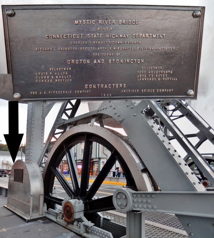
3. Bridge Construction Plaque and Bull Wheel
built by
Connecticut State Highway Department
Charles J. Bennett, Commissioner
Richard L. Saunders, Deputy, Arthur W. Bushell, Division Engineer
The Towns of
Croton and Stonington
Selectmen
Louis P. Allyn
Fred Holdsworth
Clark B. Whaley
John Fribance
Conrad Kretzer
Lawrence C. Purthill
Contractors
The J.E. Fitzgerald Company
American Bridge Company
1922
Wikipedia entry. (Submitted on March 11, 2018, by Cosmos Mariner of Cape Canaveral, Florida.)
Credits. This page was last revised on June 25, 2023. It was originally submitted on March 11, 2018, by Cosmos Mariner of Cape Canaveral, Florida. This page has been viewed 523 times since then and 48 times this year. Photos: 1, 2, 3, 4, 5, 6. submitted on March 11, 2018, by Cosmos Mariner of Cape Canaveral, Florida. • Bill Pfingsten was the editor who published this page.
