Uncasville in Montville in New London County, Connecticut — The American Northeast (New England)
Montville
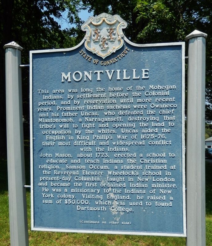
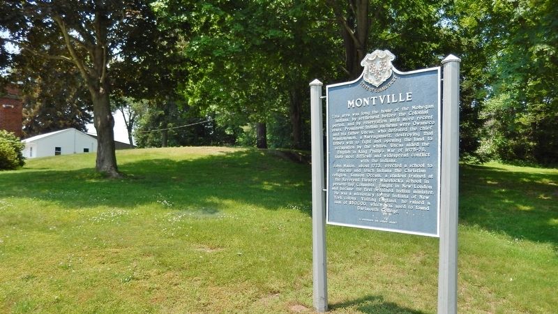
This area was long the home of the Mohegan Indians, by settlement before the Colonial period, and by reservation until more recent years. Prominent Indian sachems were Owaneco and his father Uncas, who defeated the chief Miantonomoh, a Narragansett, destroying that tribe's will to fight and opening the land to occupation by the whites. Uncas aided the English in King Philip's War of 1675-76, their most difficult and widespread conflict with the Indians.
John Mason, about 1723, erected a school to educate and teach Indians the Christian religion. Samson Occum, a student trained at the Reverend Eleazer Wheelock's school in present-day Columbia, taught in New London and became the first ordained Indian minister. He was a missionary to the Indians of New York colony. Visiting England, he raised a sum of $50,000, which was used to found Dartmouth College.
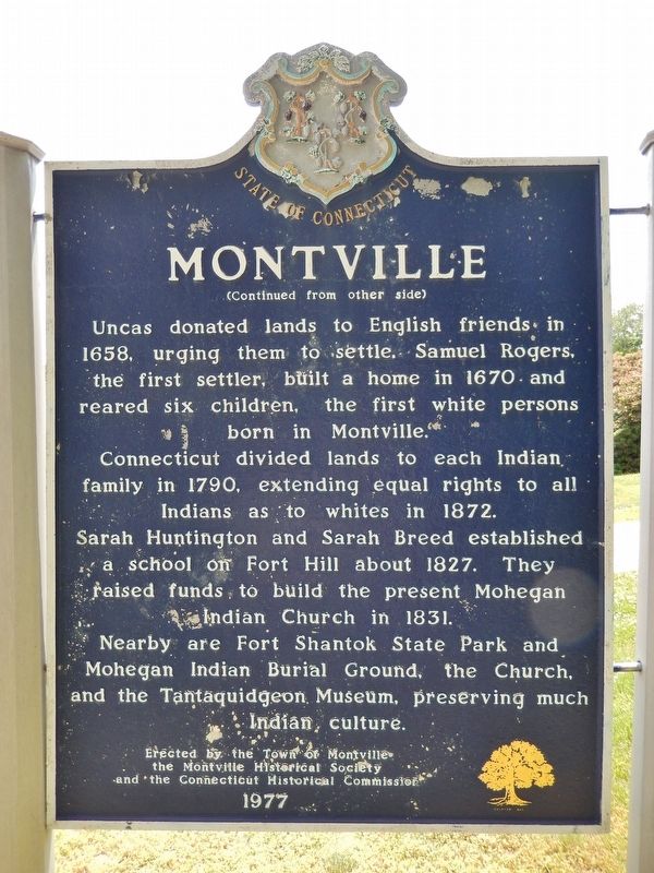
Uncas donated lands to English friends in 1658, urging them to settle. Samuel Rogers, the first settler, built a home in 1670 and reared six children, the first white persons born in Montville.
Connecticut divided lands to each Indian family in 1790, extending equal rights to all Indians as to whites in 1872.
Sarah Huntington and Sarah Breed established a school on Fort Hill about 1827. They raised funds to build the present Mohegan Indian Church in 1831.
Nearby are Fort Shantok State Park and Mohegan Indian Burial Ground, the Church, and the Tantaquidgeon Museum, preserving much Indian culture.
Erected 1977 by Town of Montville, Montville Historical Society and Connecticut Historical Commission.
Topics. This historical marker is listed in these topic lists: Cemeteries & Burial Sites • Colonial Era • Native Americans • Settlements & Settlers.
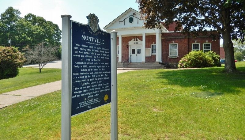
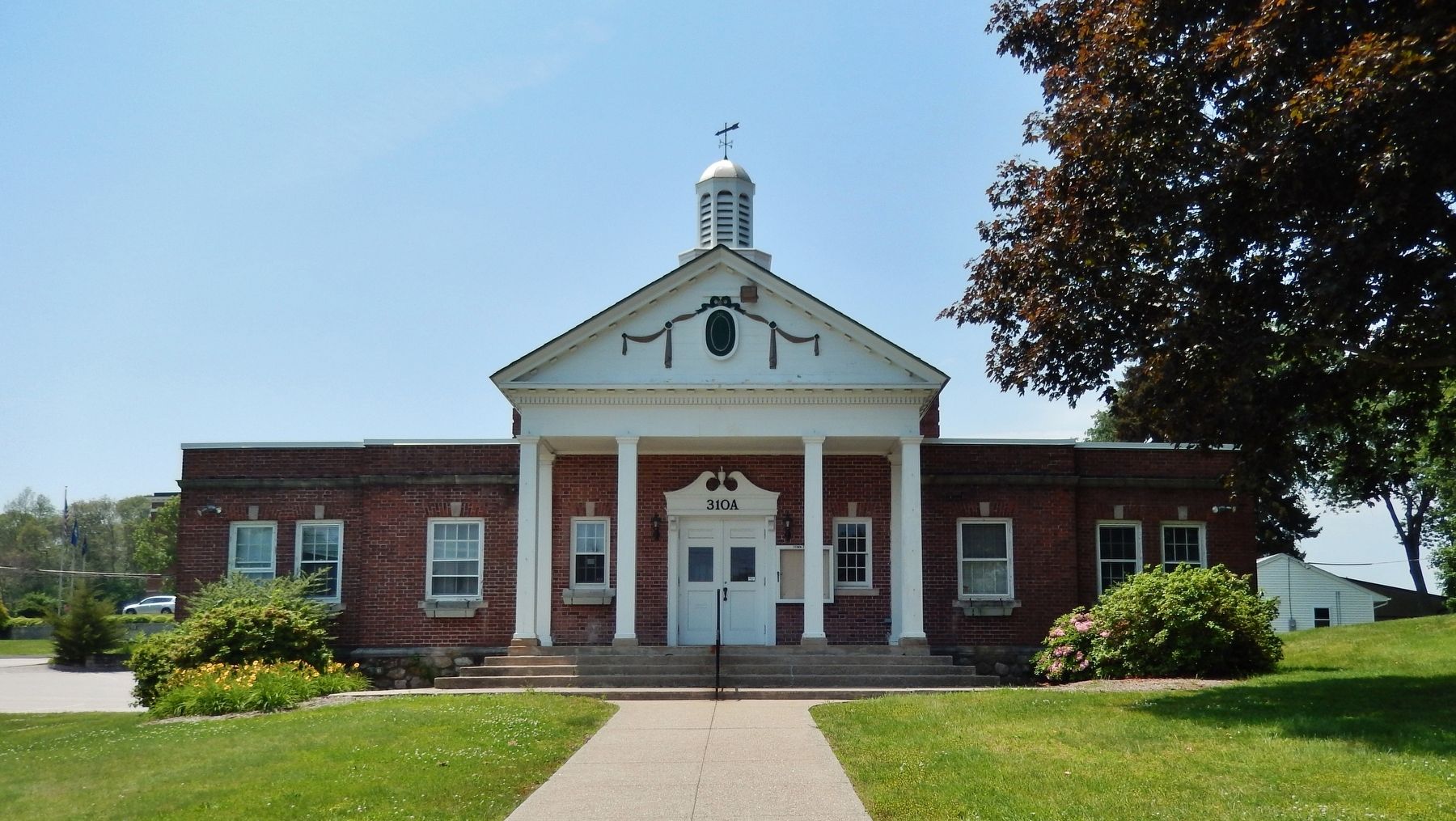
Location. 41° 26.1′ N, 72° 6.599′ W. Marker is in Montville, Connecticut, in New London County. It is in Uncasville. Marker is on Norwich-New London Turnpike (Connecticut Route 32) south of Maple Avenue, on the right when traveling south. Marker is located near the street in front of the Montville Town Hall building. Touch for map. Marker is at or near this postal address: 310 Norwich-New London Turnpike, Uncasville CT 06382, United States of America. Touch for directions.
Other nearby markers. At least 8 other markers are within 4 miles of this marker, measured as the crow flies. Montville Veterans Memorial (a few steps from this marker); Montville Honor Roll (within shouting distance of this marker); Montville World War II Monument (within shouting distance of this marker); 2nd District School (approx. 1˝ miles away); USS Nautilus Propellers (approx. 3˝ miles away); Naval Submarine Base New London (approx. 3˝ miles away); USS George Washington (SSBN 598) Sail (approx. 3˝ miles away); Forty-One for Freedom (approx. 3˝ miles away). Touch for a list and map of all markers in Montville.
Regarding Montville. The Mohegan Reservation consists of about 2700 acres. It was holden by them in common till the year 1790, when it was divided to each family by the legislature of Connecticut. The Mohegahs are under the care of guardians, or overseers, appointed by the Legislature. A part of the lands are occupied by the Indians themselves, and a part by white tenants, of which there are as many as Mohegans living on the Reservation. The rents go into a common fund, from which the Mohegans derive individually a small sum annually.
Also see . . .
1. Town of Montville - History.
The first grants of land in Montville were made to Richard Haughton and James Rogers in 1658, consisting of farm sites on the banks of the Thames River at Massapeag and Pamechaug. The first settler was Samuel Rogers, in 1670, followed by others, and the Indians appeared seemingly disposed to cede more and more of their acreage. At the time of Montville's incorporation as a town, there were four gristmills, seven saw mills, and one fueling mill. Shortly thereafter, a number of small factories moved into town. Woolen cloth, cotton textiles, and paper products became profitable. Going in and out of business were oil mills, dye works, distilleries, bicycle works, silk mills, and factories for the production of cotton batting twine, rope, and wooden wheelclocks. (Submitted on March 11, 2018, by Cosmos Mariner of Cape Canaveral, Florida.)
2. Connecticut History: Montville.
The rocky, forested terrain made farming difficult, but the abundant waterways allowed for diverse manufacture. Early industry included mills and factories and the making of bog ore into iron. By the late 19th century many manufacturing firms ran along the banks of the Oxoboxo River. Today, the town is made up of the villages of Chesterfield, Mohegan, Oakdale, and Uncasville. (Submitted on March 11, 2018, by Cosmos Mariner of Cape Canaveral, Florida.)
3. Mohegan Tribe. Tribe website homepage (Submitted on November 23, 2021, by Larry Gertner of New York, New York.)
Credits. This page was last revised on June 26, 2023. It was originally submitted on March 11, 2018, by Cosmos Mariner of Cape Canaveral, Florida. This page has been viewed 494 times since then and 58 times this year. Photos: 1, 2, 3, 4, 5. submitted on March 11, 2018, by Cosmos Mariner of Cape Canaveral, Florida. • Bill Pfingsten was the editor who published this page.
