Near Columbia in Houston County, Alabama — The American South (East South Central)
Omussee Creek Mound and Mississippian Period Societies
— Creek Heritage Trail —
Inscription.
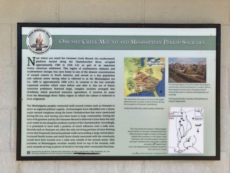
Near where you stand lies Omussee Creek Mound, the southernmost
platform mound along the Chattahoochee River, occupied
approximately 1300 to 1550 A.D. as part of an important
Native American settlement. This region of southeastern Alabama and
southwestern Georgia was once home to one of the densest concentrations
of mound centers in North America, and served as a key population
and cultural center during what is referred to as the Mississippian era
(ca. 1000 to approximately 1600 A.D.). In contrast to the less centrally
organized societies which came before and after it, this era of Native
American prehistory featured large, complex societies arranged into
chiefdoms which practiced intensive agriculture. It receives its name
from the Mississippi River Valley region in which the culture is believed to
have originated.
The Mississippian peoples commonly built mound centers such as Omussee to serve as regional political capitals. Archaeologists have identified over a dozen major mound complexes along the lower Chattahoochee that were constructed during the era, each having once been home to large communities. During the time of its greatest activity the Omussee Mound is believed to have been the only such center in use along the southern reaches of the Chattahoochee. Accordingly, it is presumed to have held a position of much influence over a wide area. Mounds such as Omussee are often the only surviving portions of once-thriving towns that frequently featured palisade walls surrounding a large central plaza. Scattered family homes and small farms closely associated with the community would have been located over a wide area outside of the mound center. Elite members of Mississippian societies usually lived on top of the mounds, with some mounds serving as places of burial or serving other ceremonial functions.
Captions
Right middle map: This map shows the location of some of the largest Native American societies in North America during the occupation of Omussee Creek Mound.
Top right: This painting depicts one of the largest Mississippian communities, the Kincaid Mounds, in modern Illinois. Mississippian mound centers throughout North America had much in common both physically and culturally.
Bottom right map: This map shows the locations of Mississippian mound centers in the lower Chattahoochee River Valley during the height of activity at Omussee. Despite their prevalence in the region, today Omussee is the only Mississippian mound in the lower Chattahoochee Valley that is publicly accessible on'a regular basis. From The Chattahoochee Chiefdoms, by John H. Blitz and Karl G. Lorenz
Courtesy of the
University of Alabama Press
Erected 2015 by the Historic Chattahoochee Commission, the John P. and Dorothy S. Illges Foundation, Inc., the University of Alabama Center for Economic Development.
Topics. This historical marker is listed in these topic lists: Native Americans • Settlements & Settlers • Waterways & Vessels. A significant historical year for this entry is 1300.
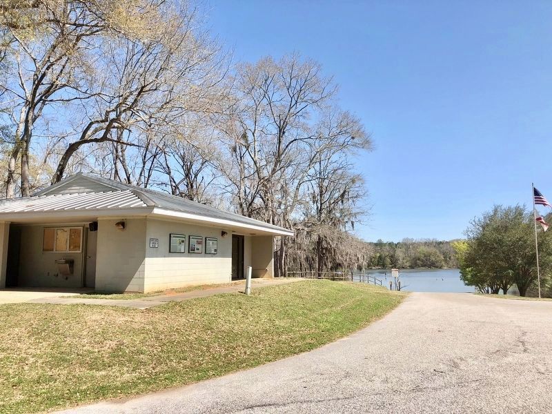
Location. 31° 16.589′ N, 85° 7.003′ W. Marker is near Columbia, Alabama, in Houston County. Marker is on Omussee Creek Road, half a mile north of Picnic Road, on the right when traveling north. Located near the Omussee Creek Park boat ramp. Touch for map. Marker is at or near this postal address: Omussee Creek Road, Columbia AL 36319, United States of America. Touch for directions.
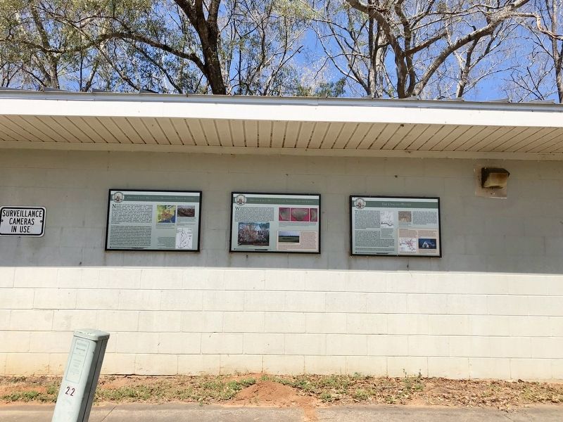
Other nearby markers. At least 8 other markers are within 2 miles of this marker, measured as the crow flies. Omussee Creek Mound and the Ancestors of the Creeks (here, next to this marker); The Chacato People (here, next to this marker); Old Columbia Jail / Columbia (approx. 1.1 miles away); Columbia Elementary School Bell (approx. 1.1 miles away); Columbia, Alabama (approx. 1.2 miles away); Columbia Methodist Episcopal Church, South (approx. 1.2 miles away); Columbia Cemetery (approx. 1.2 miles away); Columbia Baptist Church (approx. 1.3 miles away). Touch for a list and map of all markers in Columbia.
Credits. This page was last revised on March 16, 2018. It was originally submitted on March 15, 2018, by Mark Hilton of Montgomery, Alabama. This page has been viewed 613 times since then and 47 times this year. Photos: 1, 2, 3, 4. submitted on March 15, 2018, by Mark Hilton of Montgomery, Alabama.


