Cumberland Township near Gettysburg in Adams County, Pennsylvania — The American Northeast (Mid-Atlantic)
Scales's Brigade
Pender's Division - Hill's Corps
— Army of Northern Virginia —
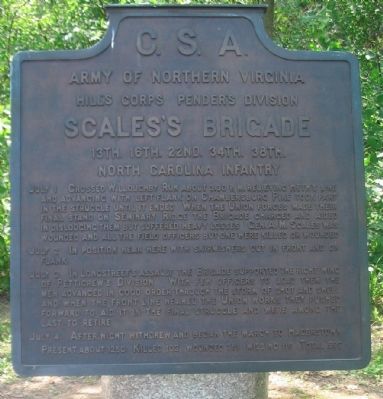
Army of Northern Virginia
Hill's Corps Pender's Division
Scales's Brigade
13th. 16th. 22nd. 34th. 38th.
North Carolina Infantry
July 1 Crossed Willoughby Run about 3.30 p.m. relieving Heth's line and advancing with left flank on Chamberstubrg Pike took part in the struggle until it ended. When the Union forces made their final stand on Seminary Ridge the Brigade charged and aided in dislodging them but suffered heavy losses. Gen. A.M. Scales was wounded and all the field officers but one were killed or wounded.
July 2 In position near here with skirmishers out in front and on flank.
July 3 In Longstreet's assault the Brigade supported the right wing of Pettigrew's Division. With few officers to lead them the men advanced in good order through the storm of shot and shell and when the front line neared the Union works they pushed forward to aid it in the final struggle and were among the last to retire.
July 4 After night withdrew and began the march to Hagerstown.
Present about 1250. Killed 102, wounded 381, missing 116. Total 599.
Erected 1910 by Gettysburg National Military Park Commission.
Topics. This historical marker is listed in this topic list: War, US Civil. A significant historical month for this entry is July 1848.
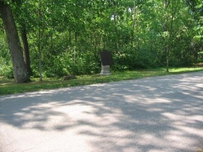
Location. 39° 49.197′ N, 77° 14.811′ W. Marker is near Gettysburg, Pennsylvania, in Adams County. It is in Cumberland Township. Marker is on West Confederate Avenue, on the left when traveling south. Located on the McMillan Woods section of Confederate Avenue, in Gettysburg National Military Park. Touch for map. Marker is in this post office area: Gettysburg PA 17325, United States of America. Touch for directions.
Other nearby markers. At least 8 other markers are within walking distance of this marker. Marye's Battery - Pegram's Battalion (a few steps from this marker); Crenshaw's Battery - Pegram's Battalion (within shouting distance of this marker); Third Army Corps (within shouting distance of this marker); Pegram's Battalion (within shouting distance of this marker); Ross's Battery - Lane's Battalion (within shouting distance of this marker); Brockenbrough's Brigade (about 300 feet away, measured in a direct line); Zimmerman's Battery - Pegram's Battalion (about 300 feet away); Lane's Brigade (about 400 feet away). Touch for a list and map of all markers in Gettysburg.
Also see . . . Report of Brig. Gen. A. M. Scales, C. S. Army, commanding brigade. Shotgun's Civil War Home website entry (Submitted on December 12, 2022, by Larry Gertner of New York, New York.)

Photographed By Craig Swain, August 16, 2008
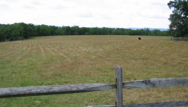
3. Scales's Brigade July 1 Fighting
Looking wast from a point on Meredith Avenue, near the McPherson Barn. Just before 4 p.m. on July 1, Scales' Brigade crossed Willoughby Run and attacked up the slope here to force two Federal brigades, Stone's and Meredith's into retreat.

Photographed By Craig Swain
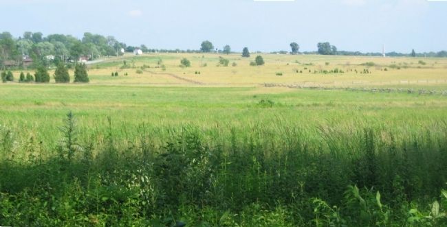
4. Scales' Brigade in Longstreet's Assault of July 3
Scales' Brigade was led by Col. William L. J. Lowrance of the Thirty-fourth North Carolina Infantry during the assault, as General Scales wounded on July 1. Lowrance formed the Brigade behind the regiments of Archer (then under Col. Fry) and Pettigrew (then under Col. Marshall) from Heth's Division. Scales' North Carolina soldiers advanced behind that forward rank, roughly in the center of this view. When the front ranks met stiff resistance at Cemetery Ridge, Brigade was pressed around to the right and hit the Federal lines near the "Angle" directly in front of Captain William Arnold's Rhode Island Battery. This point can be seen in the distance, near the "Copse of Trees" just right of distant center on the ridge line.
Credits. This page was last revised on February 7, 2023. It was originally submitted on September 16, 2008, by Craig Swain of Leesburg, Virginia. This page has been viewed 926 times since then and 44 times this year. Photos: 1, 2, 3, 4. submitted on September 16, 2008, by Craig Swain of Leesburg, Virginia.

