Pawcatuck in Stonington in New London County, Connecticut — The American Northeast (New England)
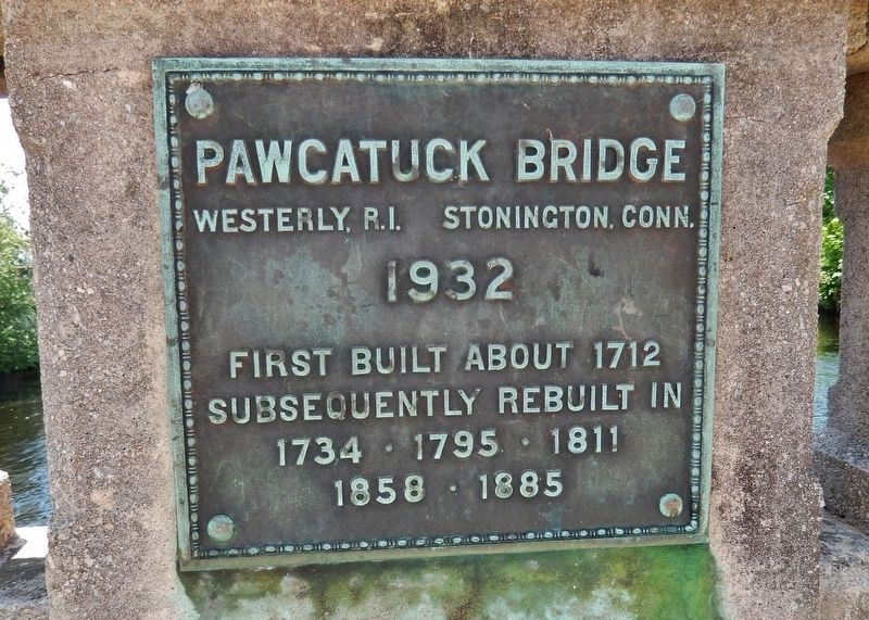
Pawcatuck Bridge
Westerly, R.I. - Stonington, Conn.
— 1932 —
Subsequently rebuilt in
1734 • 1795 • 1811
1858 • 1885
Topics. This historical marker is listed in these topic lists: Bridges & Viaducts • Colonial Era. A significant historical year for this entry is 1932.
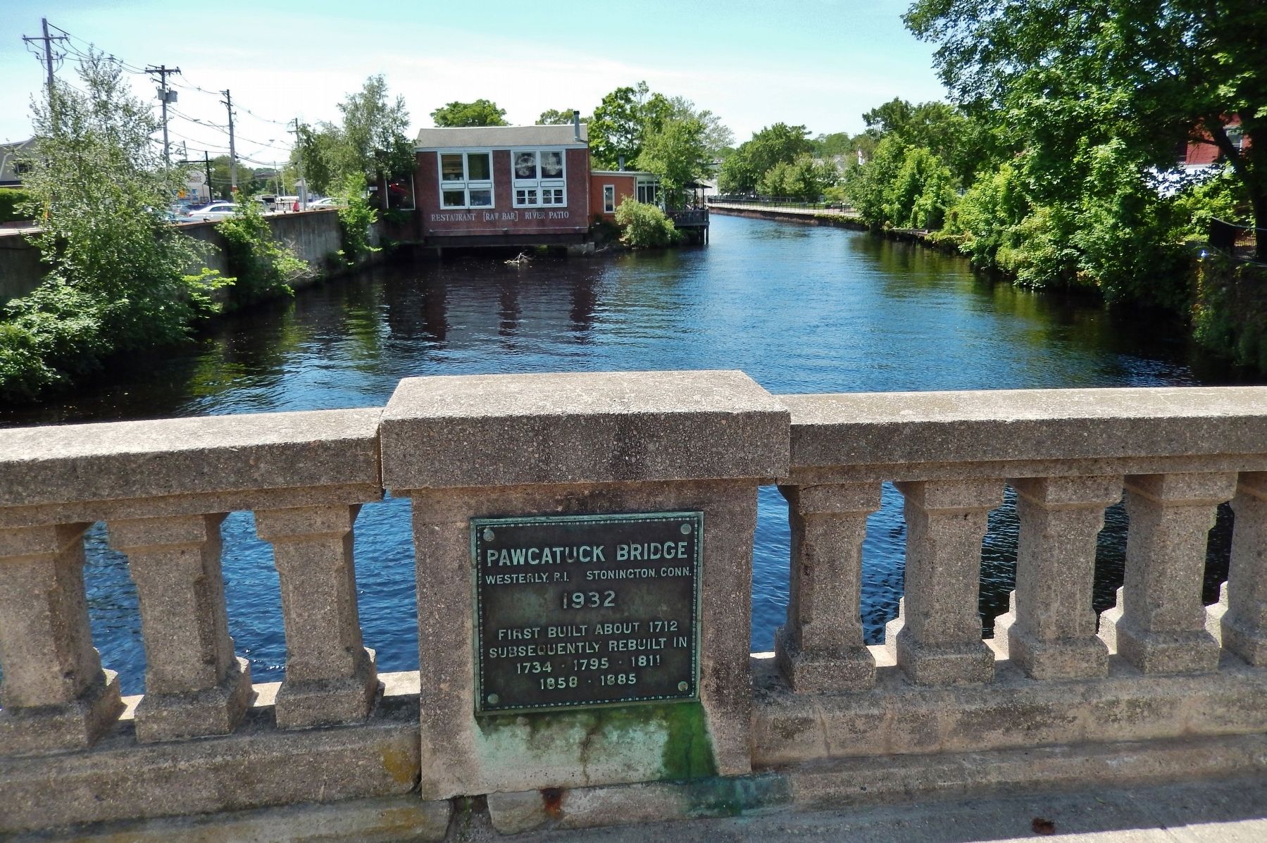
Location. 41° 22.663′ N, 71° 49.893′ W. Marker is in Stonington, Connecticut, in New London County. It is in Pawcatuck. Marker is on West Broad Street (U.S. 1) east of Coggswell Street, on the right when traveling east. Marker is a metal tablet mounted directly on the Pawcatuck Bridge south-side concrete railing, west of the bridge/river center. Touch for map. Marker is at or near this postal address: 7 West Broad Street, Pawcatuck CT 06379, United States of America. Touch for directions.
Other nearby markers. At least 8 other markers are within walking distance of this marker. First Bridge over Pawcatuck River (a few steps from this marker in Rhode Island); Pawcatuck River (a few steps from this marker in Rhode Island); POW-MIA Memorial (a few steps from this marker); Westerly – Pawcatuck War Memorial (within shouting distance of this marker in Rhode Island); USS Pawcatuck Veterans Monument (within shouting distance of this marker); This Site Is Dedicated (within shouting distance of this marker); a different marker also named The Pawcatuck River (within shouting distance of this marker); Westerly Library (about 400 feet away, measured in a direct line in Rhode Island). Touch for a list and map of all markers in Stonington.
Related markers. Click here for a list of markers that are related to this marker. Pawcatuck River Bridge
Also see . . .
1. The Night The Pawcatuck River Broke Its Banks.
The flood of March 29, 2010 closed bridges, businesses and changed lives. The overflowing Pawcatuck River rushed up and over the Donahue Park pier, the sound akin to an oncoming train. It broke its banks and wreaked havoc on the two lifelines between Pawcatuck and downtown Westerly, RI; the bridges at Broad Street and Stillman Avenue. For weeks the only way in to Westerly was over Route 78. After being hammered for days by raging currents swelled with debris, the 80-year old Pawcatuck Bridge was ordered closed until it could be inspected. (Submitted on March 18, 2018, by Cosmos Mariner of Cape Canaveral, Florida.)
2. Chamber floats plan to build ‘iconic’ structure on Pawcatuck River Bridge (2017).
Stonington — Ocean Community Chamber of Commerce outlined an idea that calls for building a $500,000 structure on the Pawcatuck River Bridge to help market and brand the downtown Westerly-Pawcatuck community. The first step would be to paint a stripe
on the bridge where the two towns and two states meet, giving people a chance to take selfies and post them on social media.
“We’re looking for something iconic, artistic, a gateway that welcomes people to the heart of our downtown and helps people realize they have arrived somewhere special.” (Submitted on March 18, 2018, by Cosmos Mariner of Cape Canaveral, Florida.)
Credits. This page was last revised on April 16, 2024. It was originally submitted on March 18, 2018, by Cosmos Mariner of Cape Canaveral, Florida. This page has been viewed 456 times since then and 34 times this year. Photos: 1, 2, 3. submitted on March 18, 2018, by Cosmos Mariner of Cape Canaveral, Florida. • Andrew Ruppenstein was the editor who published this page.


