Pleasant Hill in Northeast Washington in Washington, District of Columbia — The American Northeast (Mid-Atlantic)
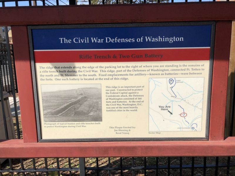
The Civil War Defenses of Washington
Rifle Trench & Two Gun Battery

Photographed By Devry Becker Jones (CC0), March 24, 2018
1. The Civil War Defenses of Washington Marker
The ridge that extends along the edge of the parking lot to the right where you are standing is the remains of a rifle trench built during the Civil War. This ridge, part of the Defenses of Washington, connected Ft. Totten to the north and Ft. Slemmer to the south. Fixed emplacements for artillery—known as batteries—were between the forts. One such battery is located at the end the ridge.
This ridge is an important part of our past. Constructed to protect the Federal Capital against a Confederate attack, the Defenses of Washington consisted of 164 forts and batteries. At the end of the Civil War, Washington, D.C. was one of the most heavily fortified cities in the world.
(captions)
• Photograph of typical bunker and rifle trenches built to protect Washington during Civil War.
• Sector Map
Erected by Joe Horning & Reed Young.
Topics. This historical marker is listed in these topic lists: Forts and Castles • War, US Civil.
Location. 38° 56.453′ N, 77° 0.198′ W. Marker is in Northeast Washington in Washington, District of Columbia. It is in Pleasant Hill. Marker is at the intersection of Taylor Street Northeast and Harewood Road Northeast, on the right when traveling west on Taylor Street Northeast. On the grounds of Brookland Ridge Apartments. Touch for map. Marker is at or near this postal address: 220 Taylor Street Northeast, Washington DC 20017, United States of America. Touch for directions.
Other nearby markers. At least 8 other markers are within walking distance of this marker. Ukrainian Catholic National Shrine (about 600 feet away, measured in a direct line); United States Soldiers' and Airmen's Home National Cemetery (approx. 0.4 miles away); U. S. Soldiers' Home (approx. 0.4 miles away); Memorial Day Order (approx. 0.4 miles away); Dr. Justine Bayard Ward (approx. 0.4 miles away); President Lincoln’s Cottage at the Soldiers’ Home (approx. half a mile away); Fort Totten (approx. half a mile away); History of the Catholic University Law School (approx. half a mile away). Touch for a list and map of all markers in Northeast Washington.

Photographed By Devry Becker Jones (CC0), March 24, 2018
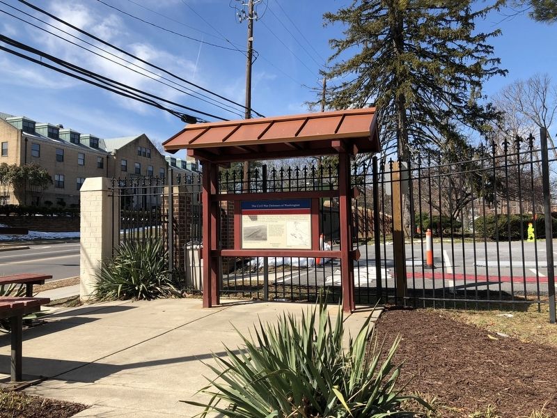
2. The Civil War Defenses of Washington Marker
Credits. This page was last revised on January 30, 2023. It was originally submitted on March 24, 2018, by Devry Becker Jones of Washington, District of Columbia. This page has been viewed 230 times since then and 9 times this year. Photos: 1, 2. submitted on March 24, 2018, by Devry Becker Jones of Washington, District of Columbia. • Bernard Fisher was the editor who published this page.