Cohoes in Albany County, New York — The American Northeast (Mid-Atlantic)
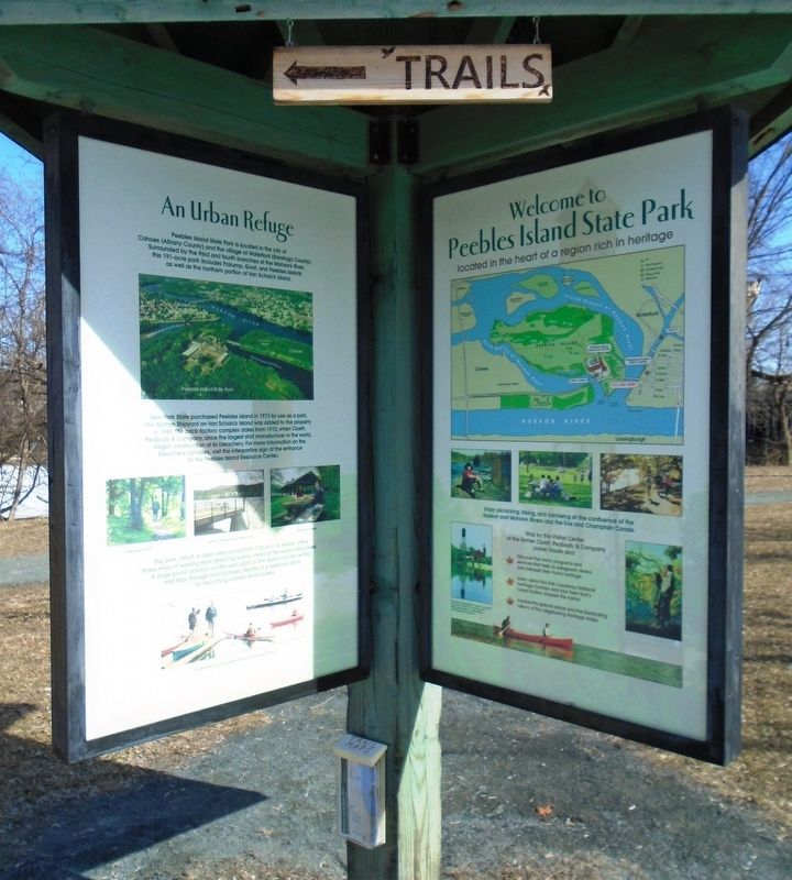
An Urban Refuge
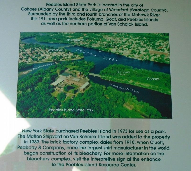
New York State purchased Peebles Island in 1973 for use as a park. The Matton Shipyard on Van Schaick Island was added to the property in 1989. The brick factory complex dates from 1910, when Cluett, Peabody & Company, once the largest shirt manufacturer in the world, began construction of its bleachery. For more information on the bleachery complex, visit the interpretive sign at the entrance to the Peebles Island Resource Center.
[Non-historic information is not transcribed]
Erected by New York State Parks, Recreation and Historic Preservation.
Topics. This historical marker is listed in these topic lists: Industry & Commerce • Parks & Recreational Areas. A significant historical year for this entry is 1973.
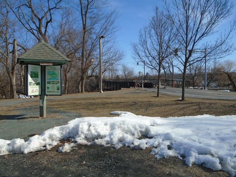
Location. 42° 47.102′ N, 73° 40.819′ W. Marker is in Cohoes, New York, in Albany County. Marker is on Delaware Avenue, on the left when traveling north. Marker kiosk is in Peebles Island State Park. Touch for map . Marker is at or near this postal address: 10 Delaware Avenue, Cohoes NY 12047, United States of America. Touch for directions.
Other nearby markers. At least 8 other markers are within walking distance of this marker. Native American & 17th-century History of Peebles Island (here, next to this marker); Peebles Island in the 18th-20th Centuries (here, next to this marker); Water Ford (within shouting distance of this marker); Breastworks (within shouting distance of this marker); Cluett, Peabody & Company (within shouting distance of this marker); View of Van Schaick Island (about 400 feet away, measured in a direct line); Waterford (approx. 0.2 miles away); The Waterways that Shaped a Nation (approx. 0.2 miles away). Touch for a list and map of all markers in Cohoes.
Credits. This page was last revised on March 24, 2018. It was originally submitted on March 24, 2018, by William Fischer, Jr. of Scranton, Pennsylvania. This page has been viewed 213 times since then and 28 times this year. Photos: 1, 2, 3. submitted on March 24, 2018, by William Fischer, Jr. of Scranton, Pennsylvania.


