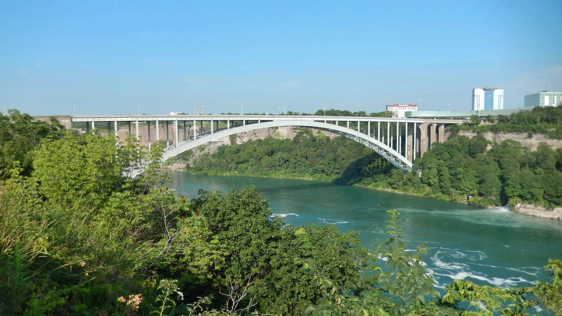
Niagara Falls in Niagara Region, Ontario — Central Canada (North America)
International Rainbow Bridge Commemoration
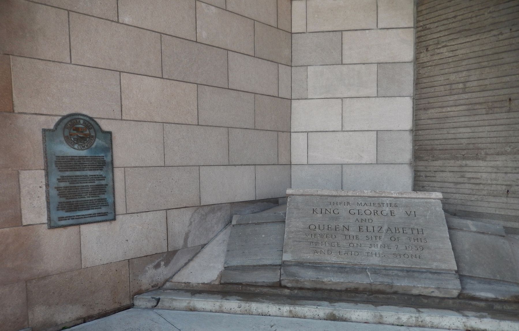
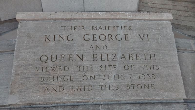
King George VI and Queen Elizabeth
— June 7, 1939 —
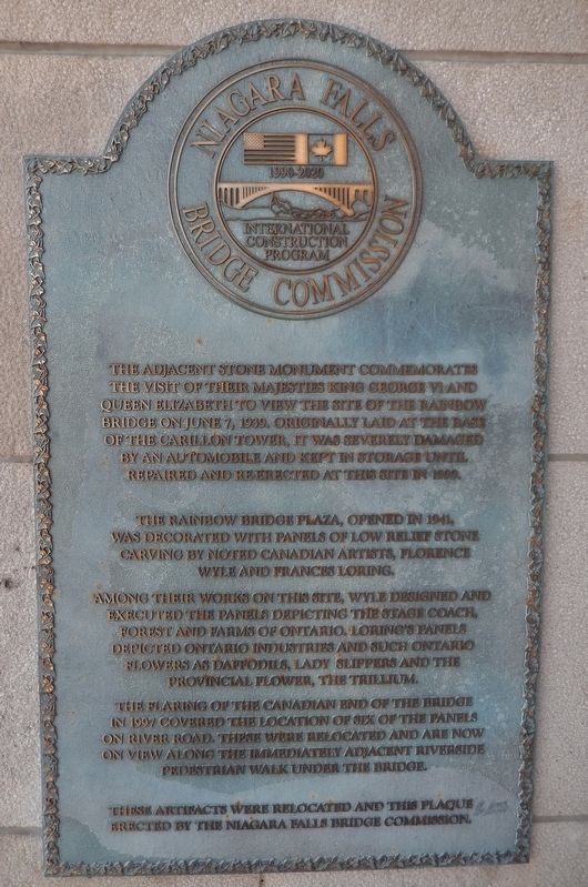
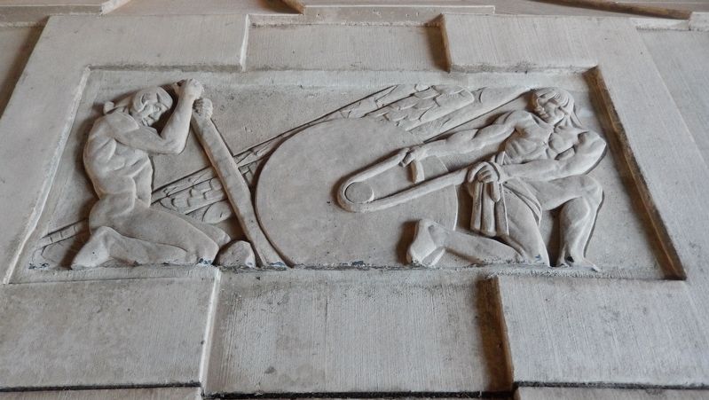
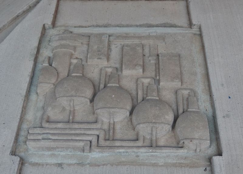
The Rainbow Bridge Plaza, opened in 1941, was decorated with panels of low relief stone carving by noted Canadian artists, Florence Wyle and Frances Loring.
Among their works on this site, Wyle designed and executed the panels depicting the stage coach, forest and farms of Ontario. Loring’s panels depicted Ontario industries and such Ontario flowers as daffodils, lady slippers and the provincial flower, the trillium.
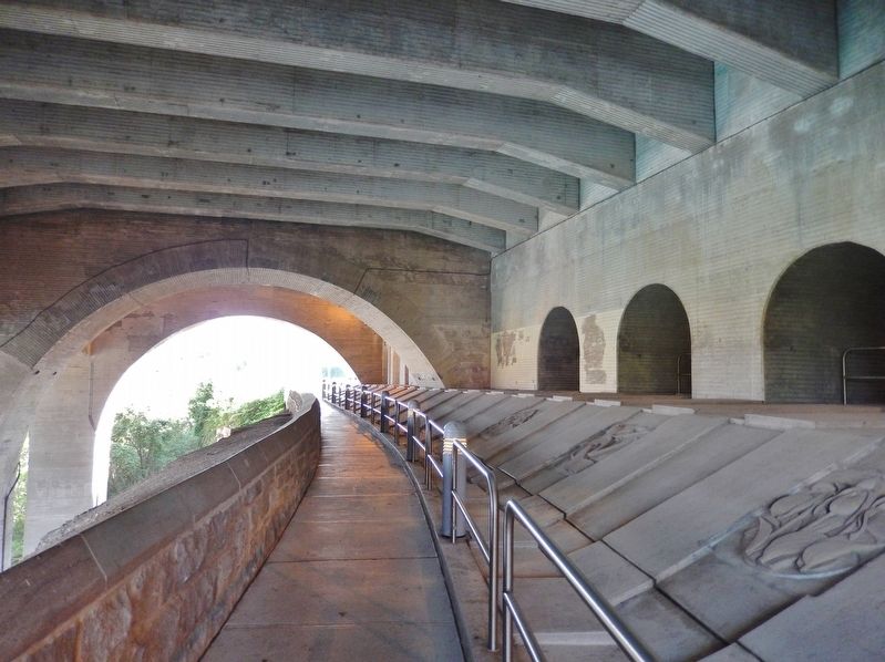
The flaring of the Canadian end of the bridge in 1997 covered the location of six of the panels on River Road. These were relocated and are now on view along the immediately adjacent riverside pedestrian walk under the bridge.
These artifacts were relocated and this plaque erected by the Niagara Falls Bridge Commission.
Erected 1999 by Niagara Falls Bridge Commission.
Topics. This historical marker is listed in these topic lists: Arts, Letters, Music • Bridges & Viaducts • Man-Made Features. A significant historical date for this entry is June 7, 1939.
Location. 43° 5.486′ N, 79° 4.172′ W. Marker is in Niagara Falls, Ontario, in Niagara Region. Marker can be reached from the intersection of Niagara Parkway and Rainbow Bridge, on the right when traveling north. Marker and subject monument are located along the riverside pedestrian walk which passes underneath the Rainbow Bridge between Niagara Parkway and the Niagara River. Touch for map. Marker is at or near this postal address: 5767 River Road, Niagara Falls ON L26 3K9, Canada. Touch for directions.
Other nearby markers. At least 8 other markers are within walking distance of this marker. Rainbow Bridge (within shouting distance of this marker); The Boundary Waters Treaty (about 120 meters away, measured in a direct line); Upper Suspension Bridge (about 150 meters away); Upper Steel Arch Bridge (about 150 meters away); Thomas Baker McQuesten (approx. 0.2 kilometers away); The Falls View Bridges (approx. 0.4 kilometers away in the U.S.); To the Memory of Burrell Hecock (approx. 0.4 kilometers away); Zimmerman Fountain Pond (approx. half a kilometer away). Touch for a list and map of all markers in Niagara Falls.
More about this marker. Marker is a metal tablet, mounted at eye level, directly on the concrete bridge support beside the pedestrian walk.
Also see . . .
1. Niagara Falls Rainbow Bridge History.
On August 12th 1938, the first meeting of the newly formed Niagara Falls Bridge Commission took place in Niagara Falls, New York. Soon after, the Niagara Falls Bridge Commission formed a plan to finance, construct and operate new bridge over the Niagara Gorge to replace the Honeymoon Bridge. The new bridge was to be named the “Rainbow Bridge”. In 1939 King George VI and Queen Elizabeth visited Niagara Falls and dedicated the site of the Rainbow Bridge. A monument commemorating this occasion was erected on the Canadian shore. (Submitted on March 25, 2018, by Cosmos Mariner of Cape Canaveral, Florida.)
2. 1939 royal tour of Canada.
The 1939 royal tour of Canada by King George VI and Queen Elizabeth was undertaken in the build-up to World War II as a way to emphasise the independence of the Dominion from Britain. The visit lasted from May 17 to June 15, covering every Canadian province, the Dominion of Newfoundland, and a few days in the United States. There had been previous royal tours of Canada, but this was unprecedented in its scope. The tour was an enormous event, attracting huge crowds at each new city. (Submitted on March 25, 2018, by Cosmos Mariner of Cape Canaveral, Florida.)
3. Rainbow Bridge (Niagara Falls).
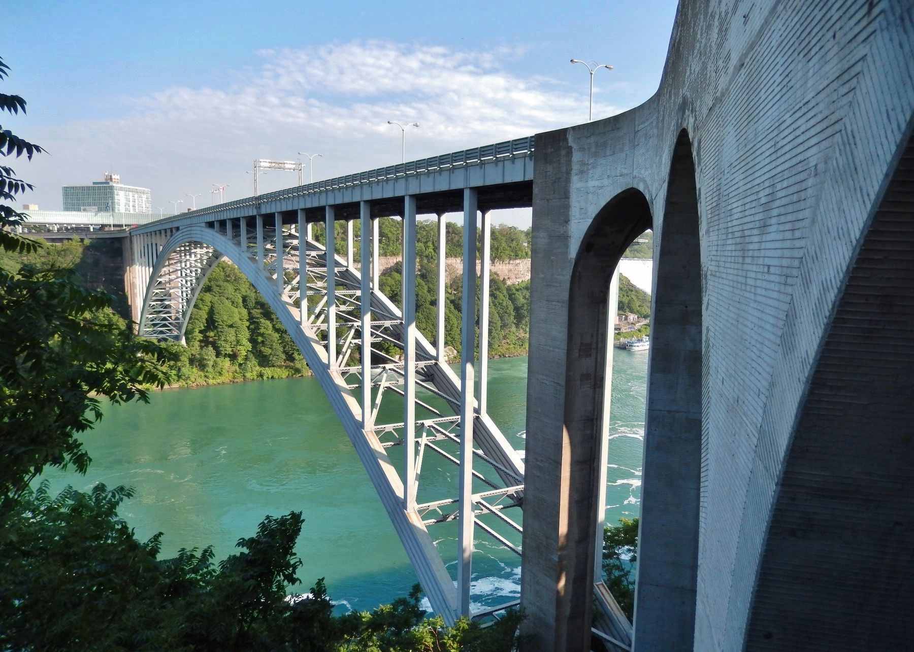
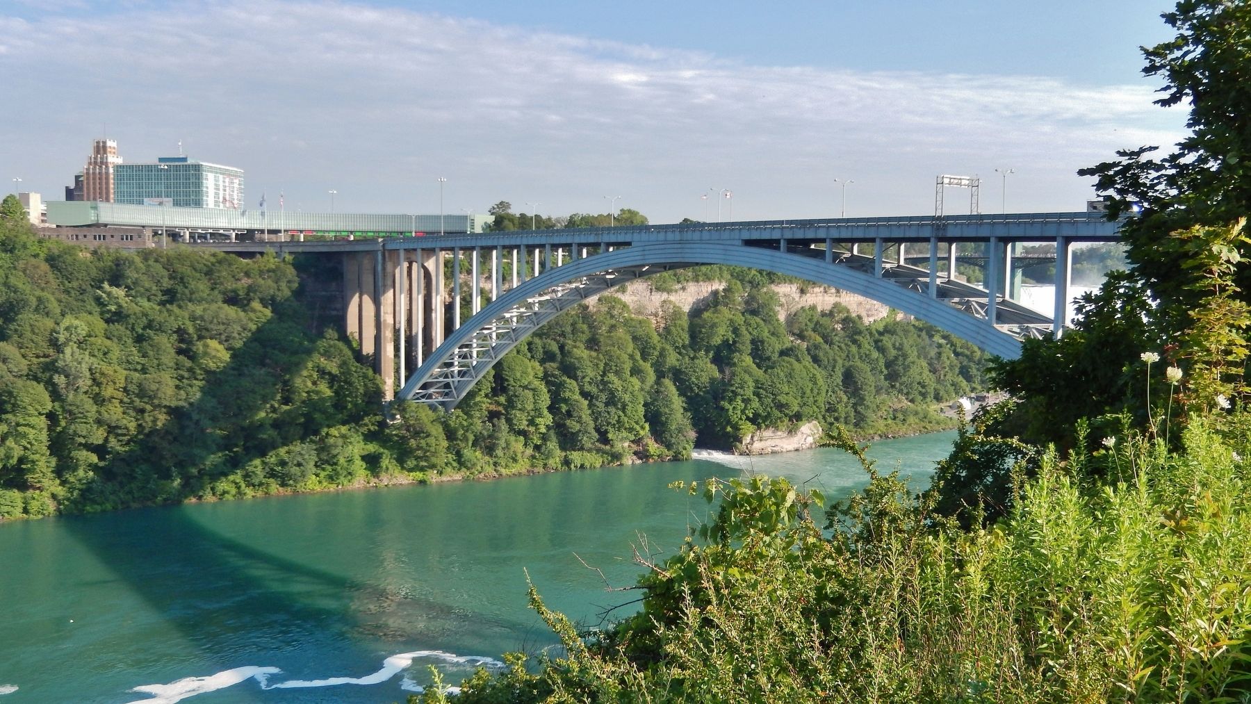
The Rainbow Bridge was built near the site of the earlier Honeymoon Bridge, which collapsed on January 27, 1938, due to an ice jam in the river. A joint Canadian and American commission had been considering a new bridge to replace it, and the collapse added urgency to the project. King George VI and Queen Elizabeth, during their visit to Niagara Falls as part of the 1939 royal tour of Canada, dedicated the site of the Rainbow Bridge; a monument was erected to commemorate the occasion. Construction began in May 1940. The bridge officially opened on November 1, 1941. (Submitted on March 25, 2018, by Cosmos Mariner of Cape Canaveral, Florida.)
Credits. This page was last revised on September 27, 2019. It was originally submitted on March 25, 2018, by Cosmos Mariner of Cape Canaveral, Florida. This page has been viewed 761 times since then and 63 times this year. Photos: 1, 2, 3, 4, 5, 6. submitted on March 25, 2018, by Cosmos Mariner of Cape Canaveral, Florida. 7, 8, 9. submitted on March 26, 2018, by Cosmos Mariner of Cape Canaveral, Florida. • Andrew Ruppenstein was the editor who published this page.
