The Waterways that Shaped a Nation
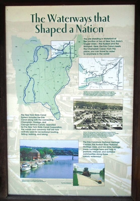
You are standing in Waterford at the junction of two of New York State's largest rivers - the Hudson and the Mohawk. Here, the Erie Canal meets the Champlain Canal. From this place, you can travel by water to anywhere in the world!
The New York State Canal System includes the Erie Canal along with the connecting Champlain, Oswego, and Cayuga-Seneca Canals. Operated by the New York State Canal Corporation, the canals and canalway trail are now actively used for recreational boating, fishing, walking, and biking.
The Erie Canalway National Heritage Corridor, the Hudson River National Heritage Area, and two state heritage areas converge here and help to promote, interpret, and revitalize communities along these historic waterways.
[Image captions, from top to bottom, read]
• The New York State Canal System threads its way through the state and links to other inland waterways and water routes along the eastern seaboard.
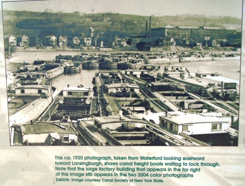
• This ca. 1920 photograph, taken from Waterford looking eastward toward Lansingburgh, shows canal freight boats waiting to lock through. Note that the large factory building that appears in the far right of this image still appears in the two 2004 color photos below.
• Today, recreational boaters line the docks in Waterford where canal freight boats once tied up.
• The Port of
WaterfordErected by New York State Parks, Recreation and Historic Preservation.
Topics. This historical marker is listed in these topic lists: Industry & Commerce • Parks & Recreational Areas • Settlements & Settlers • Waterways & Vessels. A significant historical year for this entry is 1920.
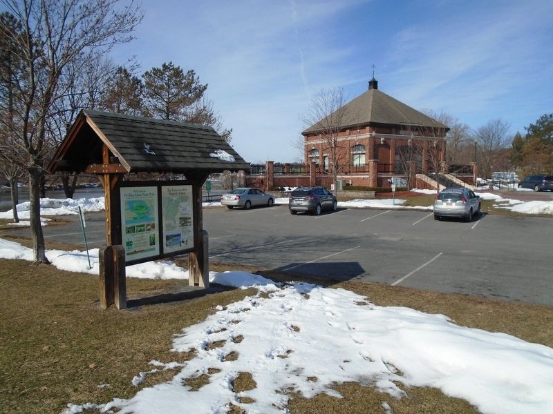
Location. 42° 47.244′ N, 73° 40.731′ W. Marker is in Waterford, New York, in Saratoga County. Marker is at the intersection of 2nd Street and Tugboat Alley, on the right when traveling south on 2nd Street. Marker kiosk is on the Waterford Harbor Visitor Center grounds. Touch for map. Marker is at or near this postal address: 1 Tugboat Alley, Waterford NY 12188, United States of America. Touch for directions.
Other nearby markers. At least 8 other markers are within walking distance of this marker. Waterford (within shouting distance of this marker); Button Park (within shouting distance of this marker); Parsonage of Dutch Church (about 600 feet away, measured in a direct line); Issac Eddy House (about 600 feet away); Breastworks (approx. 0.2 miles away); Water Ford (approx. 0.2 miles away); a different marker also named Water Ford (approx. 0.2 miles away); An Urban Refuge (approx. 0.2 miles away). Touch for a list and map of all markers in Waterford.
Also see . . .
1. Waterford Harbor Visitor Center. (Submitted on March 25, 2018, by William Fischer, Jr. of Scranton, Pennsylvania.)
2. Erie Canalway National Heritage Corridor. (Submitted on March 25, 2018, by William Fischer, Jr. of Scranton, Pennsylvania.)
3. Hudson River Valley National Heritage Area. (Submitted on March 25, 2018, by William Fischer, Jr. of Scranton, Pennsylvania.)
4. New York State Canal System. (Submitted on March 25, 2018, by William Fischer, Jr. of Scranton, Pennsylvania.)
Credits. This page was last revised on March 25, 2018. It was originally submitted on March 25, 2018, by William Fischer, Jr. of Scranton, Pennsylvania. This page has been viewed 213 times since then and 18 times this year. Photos: 1, 2, 3. submitted on March 25, 2018, by William Fischer, Jr. of Scranton, Pennsylvania.


