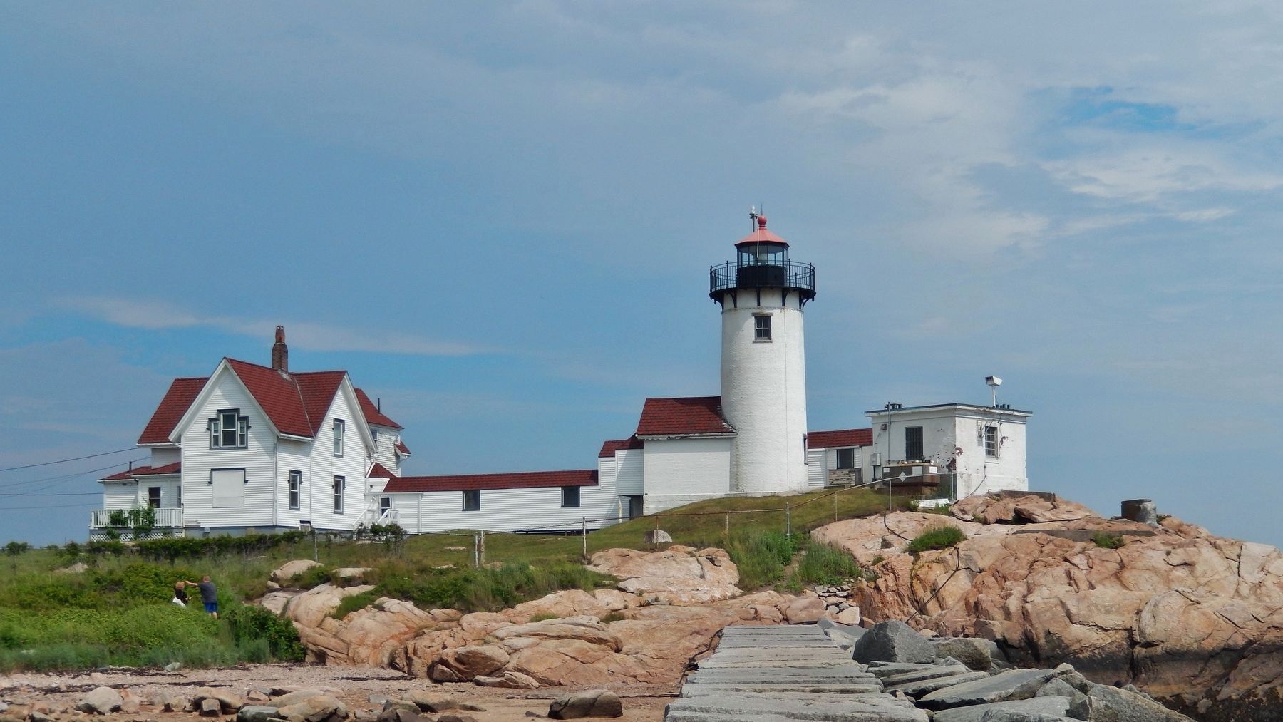
Gloucester in Essex County, Massachusetts — The American Northeast (New England)
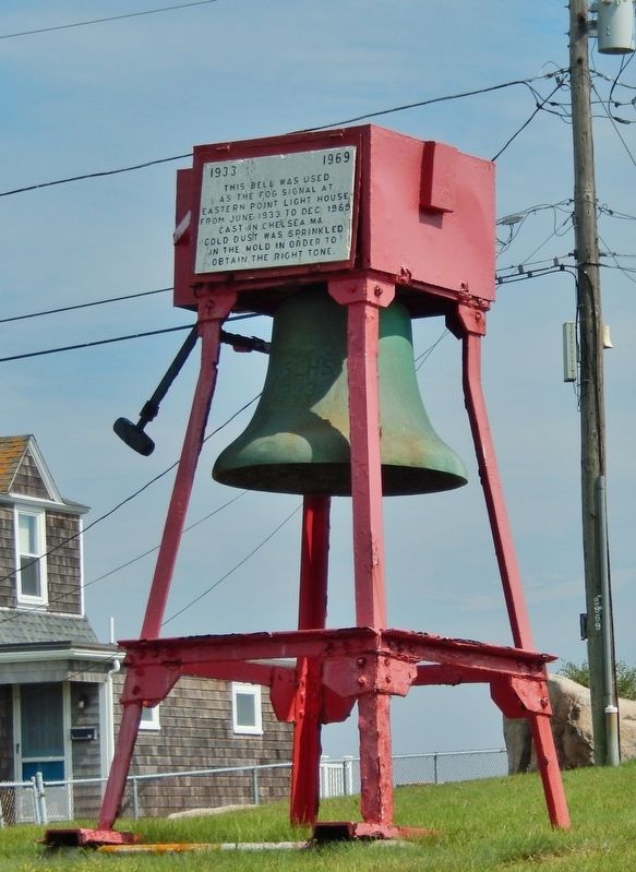
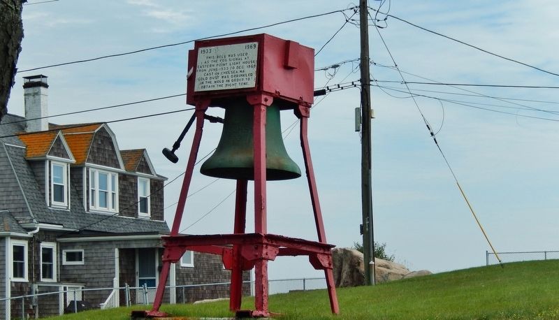
Eastern Point Lighthouse Fog Bell
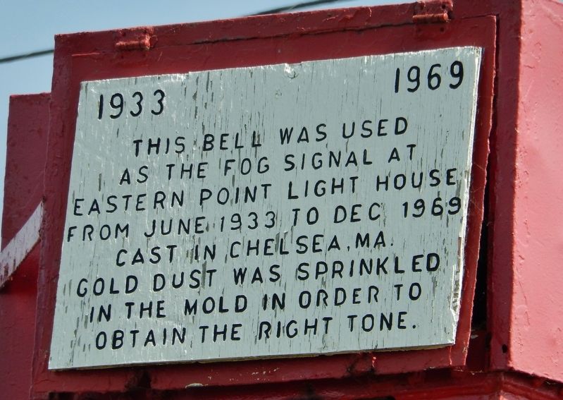
1933 - 1969
This bell was used as the fog signal at Eastern Point Light House from June 1933 to Dec 1969.
Cast in Chelsea, MA. gold dust was sprinkled in the mold in order to obtain the right tone.
Topics and series. This historical marker is listed in these topic lists: Communications • Waterways & Vessels. In addition, it is included in the Historic Bells, and the Lighthouses series lists. A significant historical month for this entry is June 1933.
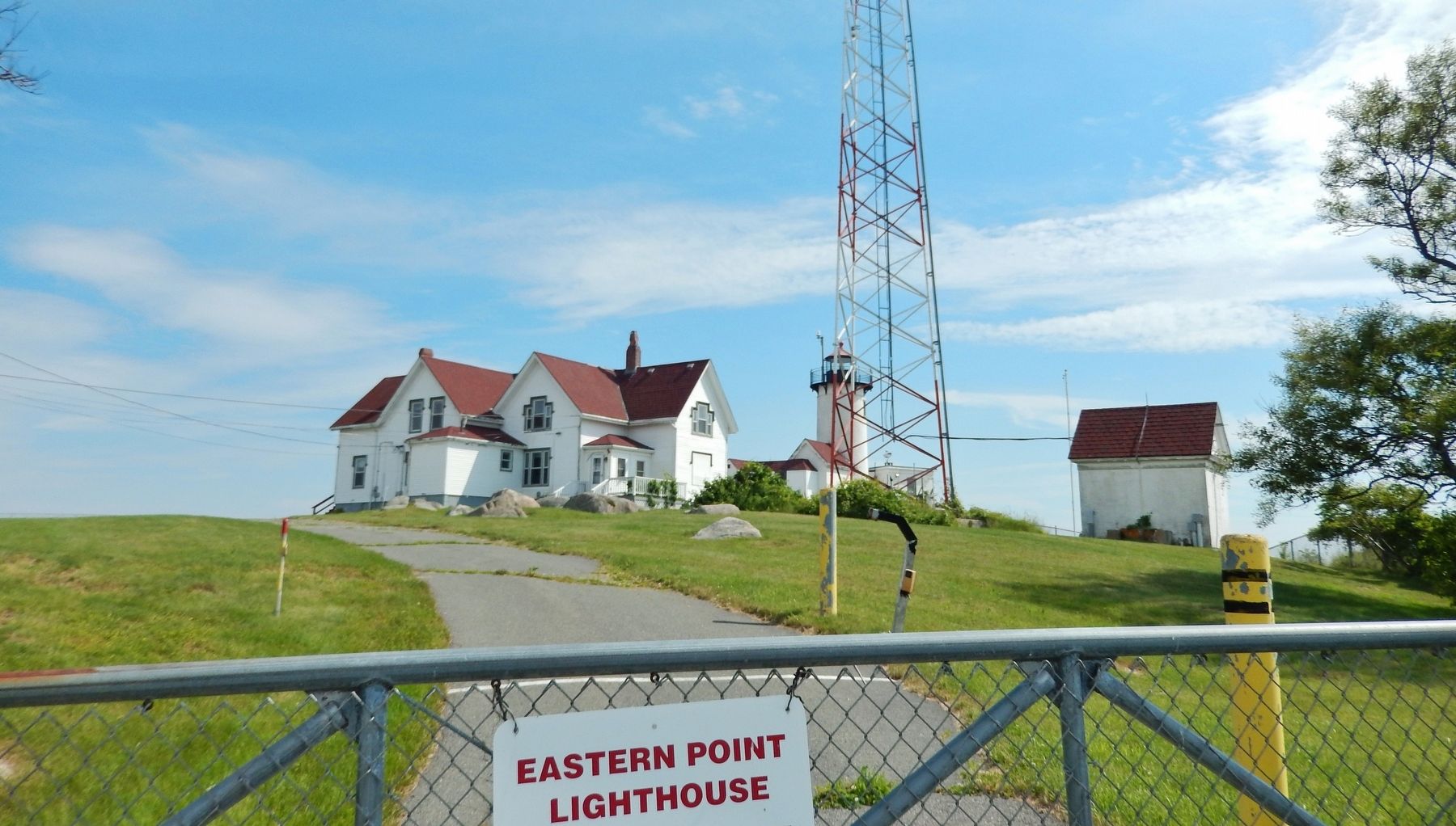
Location. 42° 34.854′ N, 70° 39.854′ W. Marker is in Gloucester, Massachusetts, in Essex County. Marker is on Eastern Point Boulevard, 0.6 miles south of Fort Hill Avenue when traveling south. Marker is mounted directly on subject fog bell exhibit, located on the Eastern Point Lighthouse grounds, at the south end of Eastern Point Boulevard. Touch for map. Marker is at or near this postal address: 135 Eastern Point Boulevard, Gloucester MA 01930, United States of America. Touch for directions.
Other nearby markers. At least 8 other markers are within 2 miles of this marker, measured as the crow flies. Samuel de Champlain (approx. 1.7 miles away); Stage Fort Fisherman's Field (approx. 1.8 miles away); Revolutionary War Memorial (approx. 1.8 miles away); Settlement of Cape Ann (approx. 1.8 miles away); Cape Ann Settlement (approx. 1.8 miles away); Nathaniel Warner Company Monument (approx. 1.9 miles away); Gloucester World War II Merchant Marine Monument (approx. 2 miles away); In Honor of Nathaniel Haraden (approx. 2 miles away). Touch for a list and map of all markers in Gloucester.
More about this marker. Marker is painted wood, and somewhat weathered.
Also see . . .
1. Eastern Point Lighthouse.
The fog signal was of the utmost importance and was upgraded several times over the years. In 1886, a new and more powerful striking machine was installed and the characteristic was changed to two blows in quick succession, at intervals of twenty seconds. By 1896 a new 4,000-pound bell, operated by a Shipman oil engine was established. It was placed into service on December 3, 1896. In 1923, the fog bell was changed over from a mechanical striking mechanism to an electrically operated bell. It operated that way until 1969, when the bell was removed in favor of a diaphragm foghorn. Today, the bell is on display on the station grounds. (Submitted on March 26, 2018, by Cosmos Mariner of Cape Canaveral, Florida.)
2. Eastern Point Light Station.
Eastern Point Light Station was established in 1832. Following the arrival of the railroad in Gloucester in 1847 the fishing business
exploded and the importance of Eastern Point Light increased.
The 36-foot tall, conical brick tower is painted white. An enclosed passageway and covered walkway connect the tower to the two-story double keepers' quarters, which was built in 1879. Eastern Point Light Station consists of the 1890 tower, keepers' quarters, walkway, oil house and bell tower. Also located on the site is a secondary keeper's dwelling (1908), a radio beacon (1931) and a foghorn (1951). (Submitted on March 26, 2018, by Cosmos Mariner of Cape Canaveral, Florida.)
3. Eastern Point Lighthouse.
A diaphragm foghorn, which sounded a group of two blasts every twenty seconds, replaced the fog bell in 1970. (Submitted on March 26, 2018, by Cosmos Mariner of Cape Canaveral, Florida.)
Credits. This page was last revised on October 8, 2020. It was originally submitted on March 26, 2018, by Cosmos Mariner of Cape Canaveral, Florida. This page has been viewed 355 times since then and 38 times this year. Photos: 1, 2, 3, 4, 5. submitted on March 26, 2018, by Cosmos Mariner of Cape Canaveral, Florida. • Andrew Ruppenstein was the editor who published this page.
