Cumberland Township near Gettysburg in Adams County, Pennsylvania — The American Northeast (Mid-Atlantic)
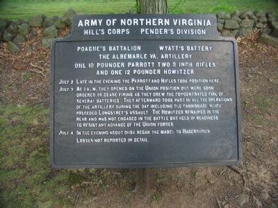
Wyatt's Battery - Poague's Battalion
Pender's Division - Hill's Corps
— Army of Northern Virginia —
Hill's Corps - Pender's Division
Poague's Battalion - Wyatt's Battery
The Albemarle Va. Battery
One 10 pounder Parrott, Two 3 inch Rifles
and One 12 pounder Howitzer
July 2 Late in the evening the Parrott and Rifles took position here.
July 3 At 7 a.m. they opened on the Union position but were soon ordered to cease firing as they drew the concentrated fire of several batteries. They afterward took part in all the operations of the artillery during the day including the cannonade which preceded Longstreet's assault. The Howitzer remained in the rear and was not engaged in the battle but held in readiness to resist any advance of the Union forces.
July 4 In the evening about dusk began the march to Hagerstown.
Losses not reported in detail.
Erected 1910 by Gettysburg National Military Park Commission.
Topics. This historical marker is listed in this topic list: War, US Civil. A significant historical month for this entry is July 1777.
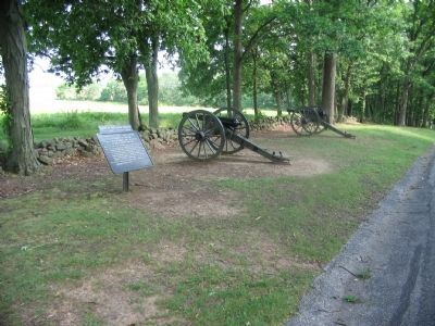
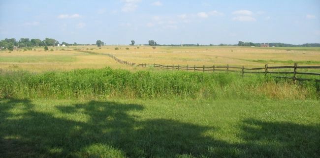
Location. 39° 49.044′ N, 77° 14.9′ W. Marker is near Gettysburg, Pennsylvania, in Adams County. It is in Cumberland Township. Marker is on West Confederate Avenue, on the right when traveling south. Located on Seminary Ridge in Gettysburg National Military Park, near the North Carolina and Tennessee State Memorials. Touch for map. Marker is in this post office area: Gettysburg PA 17325, United States of America. Touch for directions.
Other nearby markers. At least 8 other markers are within walking distance of this marker. Pettigrew's Brigade (within shouting distance of this marker); Tennessee (within shouting distance of this marker); Lieut. General Ambrose P. Hill (within shouting distance of this marker); Poague's Battalion (within shouting distance of this marker); Archer's Brigade (within shouting distance of this marker); Graham's Battery - Poague's Battalion (about 300 feet away, measured in a direct line); Davis's Brigade (about 400 feet away); Wingfield's Battery - Lane's Battalion (about 400 feet away). Touch for a list and map of all markers in Gettysburg.
Credits. This page was last revised on February 7, 2023. It was originally submitted on September 17, 2008, by Craig Swain of Leesburg, Virginia. This page has been viewed 904 times since then and 24 times this year. Photos: 1, 2, 3. submitted on September 17, 2008, by Craig Swain of Leesburg, Virginia.


